Home > Europe > United Kingdom > Wales > Flintshire > Buckley
Wakefield WF9 3 Map

![]()
Wall Art and Photo Gifts from Map Marketing
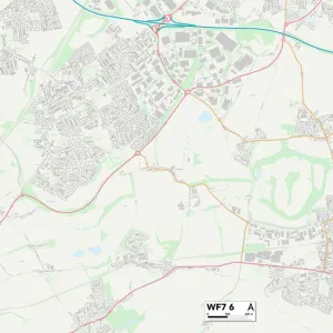
Wakefield WF9 3 Map
Postcode Sector Map of Wakefield WF9 3
Media ID 19980722
Ashley Court Barnsley Road Beacon View Beech Close Broad Lane Bull Lane Burns Avenue Camp Road Carr Lane Chapel Lane Church Avenue Church Drive Church Grove Church View Clifford Road Common Road Crawley Avenue Emily Street Fenton Close First Avenue Green Lane Grove Avenue Grove Drive Grove Lane Grove Street Grove Way Kings Croft Kirkby Close Manor Grove Marion Close Mill Close Mill Lane Mill Street Neville Close North Street Northfield Avenue Northfield Court Northfield Drive Northfield Lane Oakdale Drive Park Avenue Parkgate Powell Street Saxon Avenue Second Avenue Southmoor Road Tempest Road The Leys Vicarage Close Victor Road Wakefield Water Lane Waterton Close Wentworth Drive West Street
FEATURES IN THESE COLLECTIONS
> Animals
> Mammals
> Muridae
> Water Mouse
> Animals
> Mammals
> Muridae
> Western Mouse
> Arts
> Artists
> V
> Georges Villas
> Arts
> Artists
> W
> George White
> Arts
> Artists
> W
> William White
> Arts
> Portraits
> Pop art gallery
> Street art portraits
> Europe
> United Kingdom
> Wales
> Flintshire
> Buckley
> Map Marketing
> Postcode Sector Maps
> WF - Wakefield
> Maps and Charts
> Related Images
MADE IN THE USA
Safe Shipping with 30 Day Money Back Guarantee
FREE PERSONALISATION*
We are proud to offer a range of customisation features including Personalised Captions, Color Filters and Picture Zoom Tools
SECURE PAYMENTS
We happily accept a wide range of payment options so you can pay for the things you need in the way that is most convenient for you
* Options may vary by product and licensing agreement. Zoomed Pictures can be adjusted in the Cart.