
Beech Close Collection
"Beech Close: A Scenic Journey Across the UK" Embark on a picturesque adventure through the diverse landscapes of the United Kingdom


All Professionally Made to Order for Quick Shipping
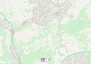
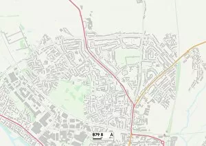
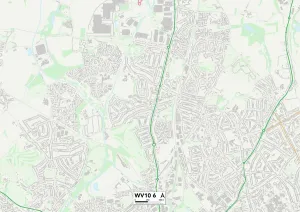
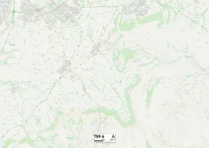
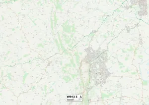
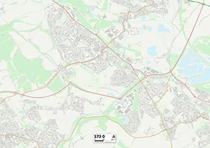
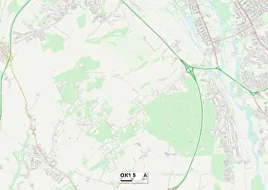
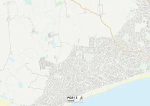
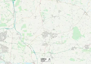
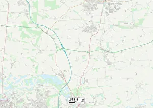
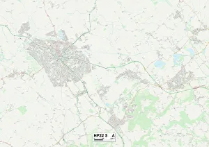
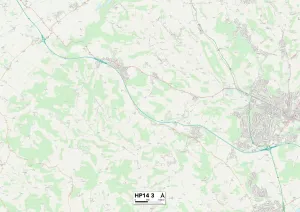
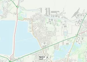
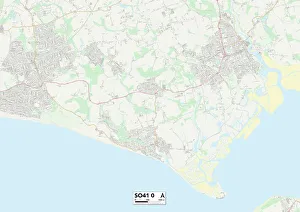
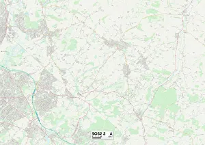
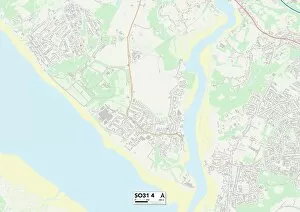
"Beech Close: A Scenic Journey Across the UK" Embark on a picturesque adventure through the diverse landscapes of the United Kingdom, as we explore the enchanting Beech Close and its surrounding areas. Nestled in various locations across Caerphilly, Tamworth, Wolverhampton, Hambleton, Malvern Hills, Barnsley, Oxford, Sussex, Leeds, Aylesbury Vale, Wycombe and Folkestone; each destination offers its own unique charm. Starting our journey in Caerphilly CF83 1 Map area will lead us to discover an idyllic neighborhood surrounded by lush greenery. The tranquil streets of Tamworth B79 8 Map beckon with their quaint cottages and blooming gardens. Moving further north to Wolverhampton WV10 6 Map unveils a vibrant community buzzing with energy. Heading towards Hambleton TS9 6 Map takes us to rolling hills and breathtaking vistas that are sure to captivate any nature enthusiast's heart. The majestic Malvern Hills WR13 5 Map offer panoramic views that stretch as far as the eye can see. Continuing our expedition eastward brings us to Barnsley S73 0 Map where history meets modernity amidst charming architecture and bustling markets. Exploring Oxford OX1 5 Map reveals a city steeped in academia and rich cultural heritage. Venturing southwards leads us to Sussex PO21 3 Map where coastal beauty awaits - sandy beaches meet dramatic cliffs creating an awe-inspiring backdrop for memorable adventures. Further up north lies Leeds LS25 5 Map boasting a vibrant urban landscape filled with trendy shops and lively entertainment options. Aylesbury Vale HP22 5 map invites visitors into its serene countryside dotted with traditional villages offering tranquility at every turn. Wycombe HP14 3 map showcases stunning woodlands perfect for leisurely walks or thrilling outdoor activities.