Fraud Blocker Skip to main content

Home > Maps and Charts > Related Images

Related Images Collection

Choose a picture from our Related Images Collection for your Wall Art and Photo Gifts

48,964 items

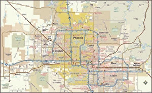
Background imageRelated Images Collection: Phoenix, Arizona area map

Phoenix, Arizona area map
2011 edition

Background imageRelated Images Collection: A Map of the Lake District, LMS poster, 1923-1947

A Map of the Lake District, LMS poster, 1923-1947
Poster produced for London, Midland & Scottish Railway (LMS) to promote rail travel to the Lake District. Artwork by Arthur Watts (1883-1935), who studied at the Slade Art School and in Antwerp

Background imageRelated Images Collection: British Isles Counties, Districts and Unitary Authorities Map

British Isles Counties, Districts and Unitary Authorities Map
A political map of the UK and Ireland showing all County, District and Unitary Authority boundaries. Each County is clearly divided into its local District Council areas

Background imageRelated Images Collection: Reflexology foot map, artwork

Reflexology foot map, artwork. Reflexology is a form of alternative medicine in which disorders in the body are treated by massaging areas of the feet thought to correspond to the affected area

Background imageRelated Images Collection: Africa Political Map

Africa Political Map
The Map Marketing Africa Political Map is an exceptionally clear map of the whole of Africa Including the Saudi Arabian Peninsula, Turkey, Iran and the southern Mediterranean countries

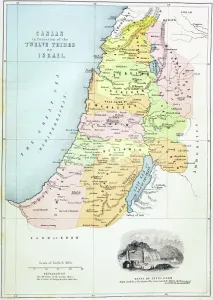
Background imageRelated Images Collection: Canaan as it was divided between the twelve tribes of Israel (colour litho)

Canaan as it was divided between the twelve tribes of Israel (colour litho)
KW360490 Canaan as it was divided between the twelve tribes of Israel (colour litho) by English School, (19th century); Private Collection; (add.info.: from The Holy Bible)

Background imageRelated Images Collection: Antique map of the Roman Empire

Antique map of the Roman Empire, with a detail on Rome

Background imageRelated Images Collection: Israel Country Map 2011 Edition

Israel Country Map 2011 Edition
Israel is a country in the Middle East, located at the eastern end of the Mediterranean Sea. It is bounded to the north by Lebanon, to the northeast by Syria, to the east and southeast by Jordan

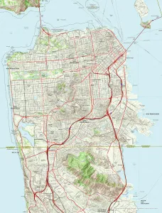
Background imageRelated Images Collection: San Francisco City Map

San Francisco City Map
A street level map of central San Francisco based on USGS topo map data. Covers from Alcatraz Island in the north to Oyster Point in the south

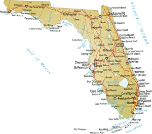
Background imageRelated Images Collection: Map of Florida

Map of Florida
Vector illustratio of map of Florida with major roads, rivers and lakes

Background imageRelated Images Collection: Map of Scotts and Amundsens route to the South Pole

Map of Scotts and Amundsens route to the South Pole
Expedition: British Antarctic Expedition 1910-13. Photograph of map showing Scotts and Amundsens route to the Pole (variation made by Ponting)

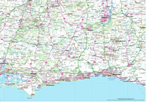
Background imageRelated Images Collection: West Sussex County Road Map

West Sussex County Road Map
A detailed map of the glorious county of West Sussex in England. Derived from high quality Collins Bartholomew map data showing larger villages

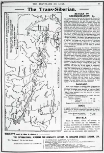
Background imageRelated Images Collection: Map of the Trans-Siberian Railway, produced by J. Bartholomew & Co. c. 1920 (engraving)

Map of the Trans-Siberian Railway, produced by J. Bartholomew & Co. c. 1920 (engraving)
XJF696541 Map of the Trans-Siberian Railway, produced by J. Bartholomew & Co. c.1920 (engraving) by English School, (20th century); Private Collection; (add.info)

Background imageRelated Images Collection: Map of Middle East - illustration

Map of Middle East - illustration
Colored Map of Middle East Asia with Country Names and Capital Cities

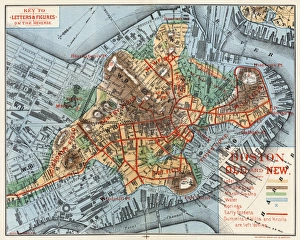
Background imageRelated Images Collection: MAP: BOSTON, c1880. Boston Old and New. A map of Boston, Massachusetts, c1880, by Justin Winsor

MAP: BOSTON, c1880. Boston Old and New. A map of Boston, Massachusetts, c1880, by Justin Winsor, showing the citys expansion through landfill

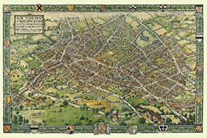
Background imageRelated Images Collection: A Conjectural Picture Map of Birmingham In 1730

A Conjectural Picture Map of Birmingham In 1730
This is a striking colourful picture map of Birmingham in 1730, originally imagined & drawn from city records by Bernard Sleigh and lettered by I.A. Ellis, 1923

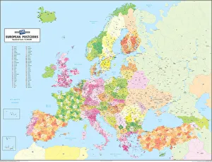
Background imageRelated Images Collection: European Postcode Map

European Postcode Map
This colour European Postcode business map covers all of Europe from Norway in the north to Crete in the south and from Portugal in the west through to Azerbaijan in the east

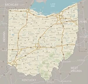
Background imageRelated Images Collection: Ohio Map

Ohio Map
A detailed map of Ohio state with cities, roads, major rivers, and lakes plus National Forests. Includes neighboring states and surrounding water

Background imageRelated Images Collection: Map of Europe

Map of Europe
Antique Maps of the World Map of Europe Nicolas Visscher c 1658

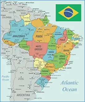
Background imageRelated Images Collection: Brazil Map with Rivers and National Flag

Brazil Map with Rivers and National Flag
Vintage Map of Brazil. Vector Illustration with Rivers and National Flag

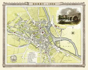
Background imageRelated Images Collection: Old Map of Derby 1806 by Cole and Roper

Old Map of Derby 1806 by Cole and Roper
An attractive and detailed early 19th century reproduction town plan of Derby 1805. First published by Cole and Roper as a finely engraved series of county maps

Background imageRelated Images Collection: Antique map of Britain under the Anglo Saxons

Antique map of Britain under the Anglo Saxons

Background imageRelated Images Collection: Scotland Road Map

Scotland Road Map
A Scotland road map ideal for planning travel either for business or pleasure. Motorways, primary routes, A roads and many B roads are displayed on a green map base with full relief colouring

Background imageRelated Images Collection: The Historic Map of Scotland 'Scotland of Old'

The Historic Map of Scotland "Scotland of Old"
Now republished at its original full size, the Scotland of Old Map, also known as the Bartholomew Clan Map of Scotland, features " The Lands", " The Arms"

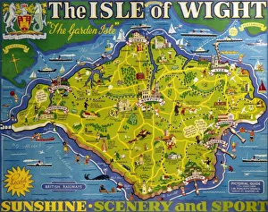
Background imageRelated Images Collection: The Isle of Wight, BR poster, 1949

The Isle of Wight, BR poster, 1949
Poster produced for British Railways (BR) to promote rail travel to and within the Isle of Wight. The poster shows a map of the island, The Garden Isle

Background imageRelated Images Collection: Italy Map - illustration

Italy Map - illustration
Colored Map of Italy The urls of the reference files are (country, continent, world map and globe). - The illustration was completed January 09

Background imageRelated Images Collection: Swindon Works Map, c. 1940s

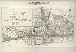
Swindon Works Map, c. 1940s
Swindon Works Map, c.1940s, showing the growth of the GWR Works in Swindon between 1846 and the 1940s. The sheer volume of workshops and sidings can be seen in fascinating detail

Background imageRelated Images Collection: Giant World Map

Giant World Map
This extra-large map of the world is based on the Mercator Projection and is ideal for both business and educational purposes, or even simply as a stunning wall display

Background imageRelated Images Collection: Al-Idrisis world map, 1154

Al-Idrisis world map, 1154
Al-Idrisis world map. This world map, known as the Tabula Rogeriana, dates from 1154, and is orientated with North at bottom

Background imageRelated Images Collection: Physical World Map

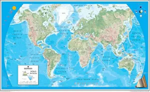
Physical World Map
A Physical map of the World designed for school children. Based on the Van Der Grinten projection, the map displays the continents of the world labelling significant rivers

Background imageRelated Images Collection: Old Map of Worcester 1808 by Cole and Roper

Old Map of Worcester 1808 by Cole and Roper
An attractive and detailed early 19th century reproduction town plan of Worcester 1808. First published by Cole and Roper as a finely engraved series of county maps

Background imageRelated Images Collection: Map of Anglo-Saxon Kingdoms and the Danelaw, 9th Century

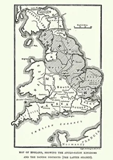
Map of Anglo-Saxon Kingdoms and the Danelaw, 9th Century
Vintage engraving of a Map of Anglo-Saxon Kingdoms and the Danelaw, 9th Century

Background imageRelated Images Collection: Ireland country map

Ireland country map
2011 edition

Background imageRelated Images Collection: Map of Venice in 1500, by Jacopo de Barbari

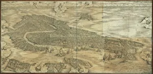
Map of Venice in 1500, by Jacopo de Barbari
Cartography, Italy, 16th century. Map of Venice in 1500, by Jacopo de Barbari

Background imageRelated Images Collection: France Administrative Political Map

France Administrative Political Map
A detailed Administrative map of France showing the political administrative divisions of the country. Each Departement is coloured individually

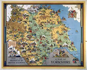
Background imageRelated Images Collection: A Map of Yorkshire, BR poster, 1949

A Map of Yorkshire, BR poster, 1949
Poster produced for British Railways (BR) to promote rail travel to and within Yorkshire. The poster shows a pictorial map of the county, with points of interest indicated. Artwork by Estra Clark

Background imageRelated Images Collection: Blue map of USA and the Caribbean sea

Blue map of USA and the Caribbean sea
Rosana Laiz Blursbyai

Background imageRelated Images Collection: 13819733

13819733

Background imageRelated Images Collection: County of Suffolk by Christopher Saxton, c. 1569. Reprint dated c. 1650

County of Suffolk by Christopher Saxton, c. 1569. Reprint dated c. 1650
SVFFOLCIAE COMITATVS ACC VRATA DESCRIPTIO, VNA CVM SINGVLIS HVNDREDIS ET FLVMINIBUS ET EODEM. Auctore Chriftophoro Saxton [c.1569] Printed and sould by P

Background imageRelated Images Collection: St Martins Church, Ashton on Mersey, Cheshire (engraving)

St Martins Church, Ashton on Mersey, Cheshire (engraving)
7164119 St Martins Church, Ashton on Mersey, Cheshire (engraving) by English School, (19th century); Private Collection; (add.info.: St Martins Church, Ashton on Mersey, Cheshire)

Background imageRelated Images Collection: Birds Eye View of Bristol, 1887 (colour litho)

Birds Eye View of Bristol, 1887 (colour litho)
2829302 Birds Eye View of Bristol, 1887 (colour litho) by Lavars, Edward Colston (1842-1917); Bristol Museum and Art Gallery, UK; eBristol Museums, Galleries & Archives; English, out of copyright

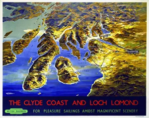
Background imageRelated Images Collection: The Clyde Coast and Loch Lomond, BR poster, 1955

The Clyde Coast and Loch Lomond, BR poster, 1955
Poster produced by British Railways (BR) to promote rail travel to Loch Lomond and the Clyde Coast of Scotland for pleasure sailings amidst magnificent scenery

Background imageRelated Images Collection: Singer Frank Ifield seen here posing for the Reveille newspaper for a fashion feature

Singer Frank Ifield seen here posing for the Reveille newspaper for a fashion feature. circa 1962. Ifield achieved considerable success in the first half of 1960s

Background imageRelated Images Collection: British Railways network map 1950s

British Railways network map 1950s
A map showing the rail lines across the British Railway network during the 1950s

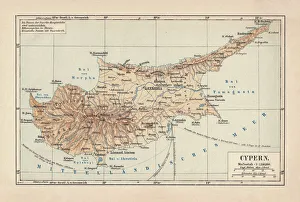
Background imageRelated Images Collection: Map of Cyprus, published in 1880

Map of Cyprus, published in 1880
Ancient map of Cyprus. Lithograph, published in 1880

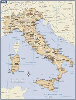
Background imageRelated Images Collection: Italy country map

Italy country map
2011 edition

Background imageRelated Images Collection: MAP microwave background

MAP microwave background
Cosmic microwave background. Whole sky image of the cosmic microwave background made by the MAP (Microwave Anisotropy Probe) spacecraft

Background imageRelated Images Collection: Map of Russia

Map of Russia
Reference Map of Russia


All Professionally Made to Order for Quick Shipping


-

Why Choose Us?

We are a leading provider of Art Prints and Photo Gifts since 2004, working in partnership with a range of Sporting Clubs, Charities, Museums and Picture Libraries. A large share of profits from any of their images will go directly towards supporting that charity or club. Our archive of images is carefully curated to bring you a wide range of subjects, including landscapes, wildlife, architecture, and more. We ship from our partner labs in the UK, USA, EU (Netherlands) and Australia.
+

How do I place an order?

Ordering is quick & easy - Just follow 5 Simple Steps:
  1. Find your image: Use our search box or browse our online photo Collections to find the image you want.

  2. Choose your print format: Select your desired product and add it to your cart.

  3. Enter your details: If you're a returning customer, simply enter your email address and password, and we'll fill in your billing and shipping address details. All personal details are held securely and are fully GDPR compliant. As standard, we remove all Personally Identifiable Information after 12 months.

  4. Pay for your purchase: We use state-of-the-art security for online shopping and do not have access to your card details.

  5. Sit back and relax: We'll email you confirmation of your order and when it's dispatched. Registered customers can also track orders in the 'My Account' area.

+

How do I pay for an order?

You can pay for your order with most of the major credit and debit cards, or PayPal. For added security, major financial institutions process payment details separately and securely on our behalf. We do not have access to your online payment card details. Online payments are preferred however we do take phone orders. For UK customers only we accept cheques issued against a UK bank.
+

Is my data safe?

We take data security very seriously. We do not have access to your full card details and all payments are requested over a fully secure connection. Additionally, we fully comply with current European and GDPR legislation, and automatically remove all personal data after at most 12 months (unless you have an account with us and have signed in recently). We also have a strict opt-in policy and would never sell your personal details. Your data is only used to fulfill your order promptly and efficiently.
+

Is wall art ready to hang?

For quick and easy installation all wall art, including framed prints, canvas prints and metal prints are supplied with a ready to hang solution on the back. Generally, saw tooth hangers are applied as they allow wall art to hang flush against the wall. The serrated edge of the hanger prevents the frame from shifting or tilting when hung.
+

Are the photo prints fade resistant?

Yes, we use archival quality photo paper photographic paper for vivid reproduction Prints are an accurate representations of the original artwork, which is preserved for artistic character and authenticity. We guarantee they match previews shown on our web site