Fraud Blocker Skip to main content

Green Lane Collection

"Discover the serenity of the 'green lane' in various locations across the UK

Background imageGreen Lane Collection: Lichfield WS13 8 Map

Lichfield WS13 8 Map
Postcode Sector Map of Lichfield WS13 8

Background imageGreen Lane Collection: Halton WA8 7 Map

Halton WA8 7 Map
Postcode Sector Map of Halton WA8 7

Background imageGreen Lane Collection: Sussex PO18 8 Map

Sussex PO18 8 Map
Postcode Sector Map of Sussex PO18 8

Background imageGreen Lane Collection: Mole Valley RH5 5 Map

Mole Valley RH5 5 Map
Postcode Sector Map of Mole Valley RH5 5

Background imageGreen Lane Collection: Scottish Borders TD11 3 Map

Scottish Borders TD11 3 Map
Postcode Sector Map of Scottish Borders TD11 3

Background imageGreen Lane Collection: Brentwood CM14 5 Map

Brentwood CM14 5 Map
Postcode Sector Map of Brentwood CM14 5

Background imageGreen Lane Collection: Cannock Chase WS15 2 Map

Cannock Chase WS15 2 Map
Postcode Sector Map of Cannock Chase WS15 2

Background imageGreen Lane Collection: Wigan WA3 1 Map

Wigan WA3 1 Map
Postcode Sector Map of Wigan WA3 1

Background imageGreen Lane Collection: North Dorset SP8 5 Map

North Dorset SP8 5 Map
Postcode Sector Map of North Dorset SP8 5

Background imageGreen Lane Collection: Plan of part of the townships of Sheffield and Nether Hallam, Sheffield, c. 1826

Plan of part of the townships of Sheffield and Nether Hallam, Sheffield, c. 1826
Full title: Plan of part of the townships of Sheffield and Nether Hallam which is in dispute. Includes John Addys house, Lidgate Field, Shales Moor Close, White House Lane or Walkley Road

Background imageGreen Lane Collection: Wakefield WF7 7 Map

Wakefield WF7 7 Map
Postcode Sector Map of Wakefield WF7 7

Background imageGreen Lane Collection: Wakefield WF2 0 Map

Wakefield WF2 0 Map
Postcode Sector Map of Wakefield WF2 0

Background imageGreen Lane Collection: Wakefield WF1 5 Map

Wakefield WF1 5 Map
Postcode Sector Map of Wakefield WF1 5

Background imageGreen Lane Collection: East Riding of Yorkshire YO15 1 Map

East Riding of Yorkshire YO15 1 Map
Postcode Sector Map of East Riding of Yorkshire YO15 1

Background imageGreen Lane Collection: York YO8 8 Map

York YO8 8 Map
Postcode Sector Map of York YO8 8

Background imageGreen Lane Collection: Stockton-on-Tees TS19 0 Map

Stockton-on-Tees TS19 0 Map
Postcode Sector Map of Stockton-on-Tees TS19 0

Background imageGreen Lane Collection: Hambleton TS9 6 Map

Hambleton TS9 6 Map
Postcode Sector Map of Hambleton TS9 6

Background imageGreen Lane Collection: Warrington WA1 3 Map

Warrington WA1 3 Map
Postcode Sector Map of Warrington WA1 3

Background imageGreen Lane Collection: Wigan WN7 2 Map

Wigan WN7 2 Map
Postcode Sector Map of Wigan WN7 2

Background imageGreen Lane Collection: Wychavon WR9 7 Map

Wychavon WR9 7 Map
Postcode Sector Map of Wychavon WR9 7

Background imageGreen Lane Collection: New Forest SO45 1 Map

New Forest SO45 1 Map
Postcode Sector Map of New Forest SO45 1

Background imageGreen Lane Collection: Somerset TA19 0 Map

Somerset TA19 0 Map
Postcode Sector Map of Somerset TA19 0

Background imageGreen Lane Collection: Somerset TA17 8 Map

Somerset TA17 8 Map
Postcode Sector Map of Somerset TA17 8

Background imageGreen Lane Collection: Merton SM4 5 Map

Merton SM4 5 Map
Postcode Sector Map of Merton SM4 5

Background imageGreen Lane Collection: Walsall WS2 8 Map

Walsall WS2 8 Map
Postcode Sector Map of Walsall WS2 8

Background imageGreen Lane Collection: East Riding of Yorkshire YO25 9 Map

East Riding of Yorkshire YO25 9 Map
Postcode Sector Map of East Riding of Yorkshire YO25 9

Background imageGreen Lane Collection: North Yorkshire YO22 4 Map

North Yorkshire YO22 4 Map
Postcode Sector Map of North Yorkshire YO22 4

Background imageGreen Lane Collection: Berkshire RG14 5 Map

Berkshire RG14 5 Map
Postcode Sector Map of Berkshire RG14 5

Background imageGreen Lane Collection: Barnsley S74 0 Map

Barnsley S74 0 Map
Postcode Sector Map of Barnsley S74 0

Background imageGreen Lane Collection: Hounslow TW4 6 Map

Hounslow TW4 6 Map
Postcode Sector Map of Hounslow TW4 6

Background imageGreen Lane Collection: Somerset TA3 5 Map

Somerset TA3 5 Map
Postcode Sector Map of Somerset TA3 5

Background imageGreen Lane Collection: Shropshire TF9 4 Map

Shropshire TF9 4 Map
Postcode Sector Map of Shropshire TF9 4

Background imageGreen Lane Collection: Sheffield S35 0 Map

Sheffield S35 0 Map
Postcode Sector Map of Sheffield S35 0

Background imageGreen Lane Collection: Cornwall PL31 1 Map

Cornwall PL31 1 Map
Postcode Sector Map of Cornwall PL31 1

Background imageGreen Lane Collection: Fylde PR3 2 Map

Fylde PR3 2 Map
Postcode Sector Map of Fylde PR3 2

Background imageGreen Lane Collection: Suffolk NR35 2 Map

Suffolk NR35 2 Map
Postcode Sector Map of Suffolk NR35 2

Background imageGreen Lane Collection: Sefton PR9 8 Map

Sefton PR9 8 Map
Postcode Sector Map of Sefton PR9 8

Background imageGreen Lane Collection: South Oxfordshire RG8 0 Map

South Oxfordshire RG8 0 Map
Postcode Sector Map of South Oxfordshire RG8 0

Background imageGreen Lane Collection: Sussex PO20 7 Map

Sussex PO20 7 Map
Postcode Sector Map of Sussex PO20 7

Background imageGreen Lane Collection: Sussex PO20 1 Map

Sussex PO20 1 Map
Postcode Sector Map of Sussex PO20 1

Background imageGreen Lane Collection: Crawley RH10 7 Map

Crawley RH10 7 Map
Postcode Sector Map of Crawley RH10 7

Background imageGreen Lane Collection: Manchester M18 8 Map

Manchester M18 8 Map
Postcode Sector Map of Manchester M18 8

Background imageGreen Lane Collection: Milton Keynes MK17 8 Map

Milton Keynes MK17 8 Map
Postcode Sector Map of Milton Keynes MK17 8

Background imageGreen Lane Collection: Lincoln LN6 9 Map

Lincoln LN6 9 Map
Postcode Sector Map of Lincoln LN6 9

Background imageGreen Lane Collection: Leicester LE17 6 Map

Leicester LE17 6 Map
Postcode Sector Map of Leicester LE17 6

Background imageGreen Lane Collection: Harborough LE16 7 Map

Harborough LE16 7 Map
Postcode Sector Map of Harborough LE16 7

Background imageGreen Lane Collection: Leeds LS16 7 Map

Leeds LS16 7 Map
Postcode Sector Map of Leeds LS16 7

Background imageGreen Lane Collection: Leeds LS15 7 Map

Leeds LS15 7 Map
Postcode Sector Map of Leeds LS15 7


All Professionally Made to Order for Quick Shipping

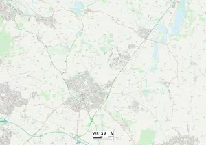
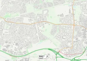
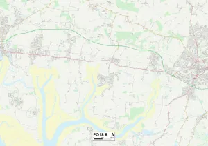
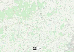
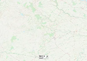
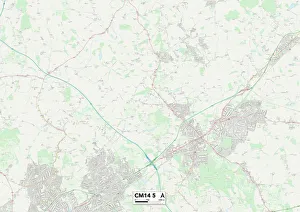
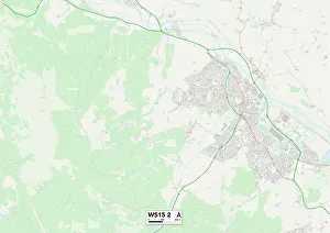
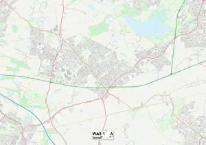
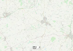
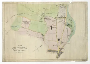
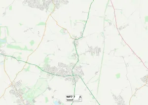
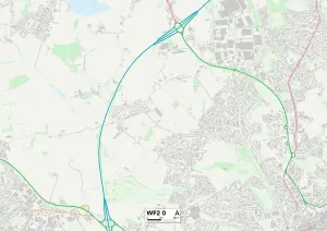
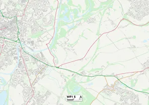
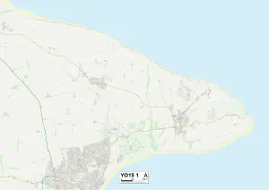
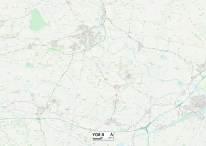
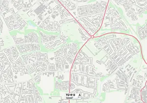
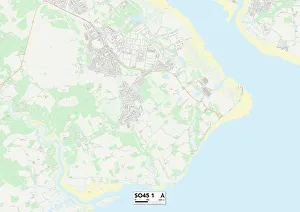
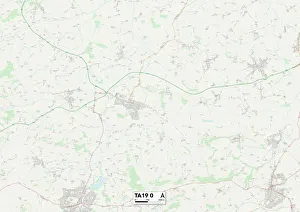
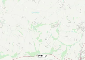
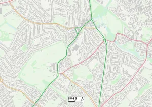
"Discover the serenity of the 'green lane' in various locations across the UK. From Lichfield WS13 8 to Sussex PO18 8, Halton WA8 7 to Scottish Borders TD11 3, and Mole Valley RH5 5 to Brentwood CM14 5, immerse yourself in nature's embrace. Navigate through North Dorset SP8 5 or explore Sheffield's historic townships with a glimpse into its past from c. 1826 Plan. Lose yourself amidst the enchanting beauty of Cannock Chase WS15 2 or find solace in Wakefield WF7 7, WF2 0, and WF1 5. Let these green lanes guide you towards tranquility as you embark on an unforgettable journey through picturesque landscapes and hidden treasures. "