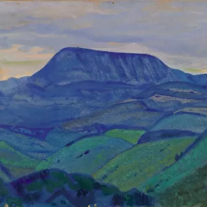
Home > Arts > Contemporary art > Sculpture > Landscape paintings
Africa and unknown southern land, from Claudius Ptolemys Cosmographia, Ulm Edition, 1482

![]()
Wall Art and Photo Gifts from Universal Images Group (UIG)
Africa and unknown southern land, from Claudius Ptolemys Cosmographia, Ulm Edition, 1482
Cartography, 15th century. Africa and unknown southern land, from Claudius Ptolemys " Cosmographia." Ulm Edition, 1482
Universal Images Group (UIG) manages distribution for many leading specialist agencies worldwide
Media ID 9501321
© DEA / G. DAGLI ORTI
15th Century Africa Atlas Book Border Coastline Guidance Island Navigational Equipment Overhead View Page River Text 1482 Claudius Ptolemy Non Urban Scene
FEATURES IN THESE COLLECTIONS
> Africa
> Related Images
> Arts
> Art Movements
> Landscapes
> Arts
> Contemporary art
> Landscapes
> Sculptures
> Arts
> Contemporary art
> Sculpture
> Landscape paintings
> Arts
> Landscape paintings
> Landscape art
> Landscape paintings
> Arts
> Landscape paintings
> Landscape art
> Arts
> Landscape paintings
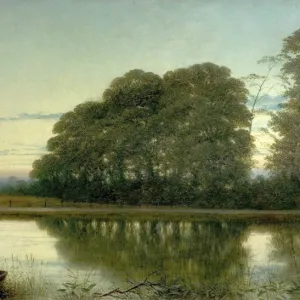
> Waterfall and river artworks
> Landscape paintings
> Arts
> Landscape paintings
> Waterfall and river artworks
> River artworks
> Arts
> Street art graffiti
> Urban art
> Landscape paintings
> Universal Images Group (UIG)
> Art
> Painting, Sculpture & Prints
> Cartography
EDITORS COMMENTS
This print takes us back in time to the 15th century, immersing us in the world of cartography and exploration. The image showcases a page from Claudius Ptolemy's "Cosmographia" specifically depicting Africa and an unknown southern land. Published in Ulm Edition, 1482, this remarkable piece of art provides a glimpse into the early understanding of our planet's geography. The map is beautifully detailed, with intricate lines outlining coastlines, rivers, and topographical features. It offers a fascinating insight into how people perceived these lands centuries ago. As we examine the map closely, we can almost imagine ancient explorers using it as their guide on daring adventures across uncharted territories. The overhead view allows us to appreciate the vastness of Africa's landscape and its surrounding seas. The absence of any human presence emphasizes the untouched nature of these lands at that time. Navigational equipment scattered throughout reminds us of the tools used by sailors to navigate through treacherous waters. This historic artifact not only serves as a record of physical geography but also reflects humanity's thirst for knowledge and adventure during that era. It stands as a testament to our ancestors' curiosity about distant lands beyond their own borders. As we gaze upon this print from Universal Images Group (UIG), let it transport us back to an age when maps were both practical guides for travelers and works of art capturing mankind's quest for discovery.
MADE IN THE USA
Safe Shipping with 30 Day Money Back Guarantee
FREE PERSONALISATION*
We are proud to offer a range of customisation features including Personalised Captions, Color Filters and Picture Zoom Tools
SECURE PAYMENTS
We happily accept a wide range of payment options so you can pay for the things you need in the way that is most convenient for you
* Options may vary by product and licensing agreement. Zoomed Pictures can be adjusted in the Cart.