Fraud Blocker Skip to main content

Home > Universal Images Group (UIG) > History > Historical Maps

Historical Maps Collection (page 3)

2,185 items

We are proud to offer this selection in partnership with Universal Images Group (UIG)

Background imageHistorical Maps Collection: Map of Europe, circa 1760. From Atlas de Toutes Les Parties Connues du Globe Terrestre

Map of Europe, circa 1760. From Atlas de Toutes Les Parties Connues du Globe Terrestre by Cartographer Rigobert Bonne. Published Geneva circa. 1760

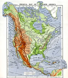
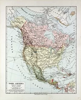
Background imageHistorical Maps Collection: Physical Map Of North America In The Late 19Th Century

Physical Map Of North America In The Late 19Th Century

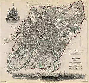
Background imageHistorical Maps Collection: Map of Moscow

Map of Moscow 1836

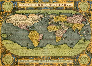
Background imageHistorical Maps Collection: Oval World Map

Oval World Map 1598, Ortelius, Abraham

Background imageHistorical Maps Collection: Map of Saint Petersburg

Map of Saint Petersburg 1834

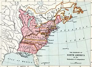
Background imageHistorical Maps Collection: Map Of The Colonies Of North America At The Declaration Of Independence

Map Of The Colonies Of North America At The Declaration Of Independence

Background imageHistorical Maps Collection: Map of Constantinople

Map of Constantinople 1840

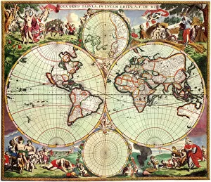
Background imageHistorical Maps Collection: Nova Orbis Tabula in Lucem Edita

Nova Orbis Tabula in Lucem Edita
Old World Map 1675, de Wit, Frederick

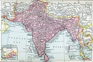
Background imageHistorical Maps Collection: The Indian Empire And Ceylon Circa 1930

The Indian Empire And Ceylon Circa 1930

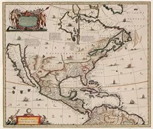
Background imageHistorical Maps Collection: North America and Islands

North America and Islands 1653

Background imageHistorical Maps Collection: Orbis Terrae Compendiosa Descriptio Quam ex Magna Universali

Orbis Terrae Compendiosa Descriptio Quam ex Magna Universali
Old World Map 1587, Mercator, Rumold

Background imageHistorical Maps Collection: Map Of Asia, 1899

Map Of Asia, 1899

Background imageHistorical Maps Collection: Virginiae Item et Floridae Americae Provinciarum nova Descri

Virginiae Item et Floridae Americae Provinciarum nova Descri
Map of Virginia and Florida 1606

Background imageHistorical Maps Collection: Mappamondo del Globo Terraqueo

Mappamondo del Globo Terraqueo
Map of Cook??s Voyages 1788, Cassini, Giovanni Maria

Background imageHistorical Maps Collection: Map Of Indonesia, 1899

Map Of Indonesia, 1899

Background imageHistorical Maps Collection: Plan of Athens

Plan of Athens
Perspective view of the plan of Athens, Greece 1700

Background imageHistorical Maps Collection: Nuove Scoperte [New Discoveries]

Nuove Scoperte [New Discoveries]
New Discoveries 1776

Background imageHistorical Maps Collection: Map Of North America, 1899

Map Of North America, 1899

Background imageHistorical Maps Collection: Judea seu Terra Sancta

Judea seu Terra Sancta
Map of Israels Twelve Tribes 1696

Background imageHistorical Maps Collection: Map Of New York, United States Of America, 1899

Map Of New York, United States Of America, 1899

Background imageHistorical Maps Collection: Map of England

Map of England 1612

Background imageHistorical Maps Collection: Map showing Ptolemy 1507

Map showing Ptolemy 1507

Background imageHistorical Maps Collection: Map Of Mexiko, 1899

Map Of Mexiko, 1899

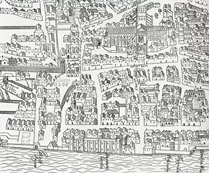
Background imageHistorical Maps Collection: Plan of London around St. Pauls in 1563. After Ralph Agass map

Plan of London around St. Pauls in 1563. After Ralph Agass map. From London Pictures, published 1890

Background imageHistorical Maps Collection: Partie de la Nouvelle France ou du Canada

Partie de la Nouvelle France ou du Canada
Canada Map 1762

Background imageHistorical Maps Collection: Map Of South America, 1899

Map Of South America, 1899

Background imageHistorical Maps Collection: Map of Copenhagen

Map of Copenhagen 1837

Background imageHistorical Maps Collection: Map showing Amerigo Vespucci 1507

Map showing Amerigo Vespucci 1507

Background imageHistorical Maps Collection: Map Of The South Of Brazil, 1899

Map Of The South Of Brazil, 1899

Background imageHistorical Maps Collection: Map of Liverpool

Map of Liverpool 1836

Background imageHistorical Maps Collection: Map of Marseille

Map of Marseille 1832

Background imageHistorical Maps Collection: Golden Bordered Map of the World 1688

Golden Bordered Map of the World 1688

Background imageHistorical Maps Collection: Map Of North America And South America

Map Of North America And South America

Background imageHistorical Maps Collection: Amerca Septentrionalis

Amerca Septentrionalis
Map of North America 1636

Background imageHistorical Maps Collection: Americae pars magis cognita

Americae pars magis cognita
Map of South America 1592

Background imageHistorical Maps Collection: A Town Plan of Lisbon 1598

A Town Plan of Lisbon 1598

Background imageHistorical Maps Collection: Map Of Egypt, Sudan, 1899

Map Of Egypt, Sudan, 1899

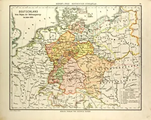
Background imageHistorical Maps Collection: MAP OF GERMANY IN 1813

MAP OF GERMANY IN 1813

Background imageHistorical Maps Collection: Map of Boston

Map of Boston 1842

Background imageHistorical Maps Collection: Map of Sixteenth-Century Jerusalem 1612

Map of Sixteenth-Century Jerusalem 1612

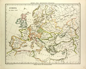
Background imageHistorical Maps Collection: MAP OF EUROPE IN 1519

MAP OF EUROPE IN 1519

Background imageHistorical Maps Collection: Map of New York City

Map of New York City 1840

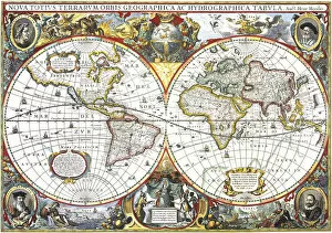
Background imageHistorical Maps Collection: Double-Hemisphere Map of the World 1630

Double-Hemisphere Map of the World 1630

Background imageHistorical Maps Collection: MAP OF THE DISCOVERIES OF EUROPEAN SEAFARERS IN THE 15TH AND 16TH CENTURIES

MAP OF THE DISCOVERIES OF EUROPEAN SEAFARERS IN THE 15TH AND 16TH CENTURIES

Background imageHistorical Maps Collection: Map of Genoa, Italy

Map of Genoa, Italy 1836

Background imageHistorical Maps Collection: World map in: Tabulae Rudolphinae : quibus astronomicae by Johannes Kepler, 1571-1630

World map in: Tabulae Rudolphinae : quibus astronomicae by Johannes Kepler, 1571-1630

Background imageHistorical Maps Collection: Nova et accuratissima totius terrarum orbis tabula

Nova et accuratissima totius terrarum orbis tabula. A new and most accurate map of all the worlds countries. World map by Joan Blaeu (1596-1673) dating from the mid 17th century

Background imageHistorical Maps Collection: Nova Orbis Tabula, in Lucem Edita

Nova Orbis Tabula, in Lucem Edita
Old World Map 1688, de Wit, Frederick


All Professionally Made to Order for Quick Shipping


-

Why Choose Us?

We are a leading provider of Art Prints and Photo Gifts since 2003, working in partnership with a range of Sporting Clubs, Charities, Museums and Picture Libraries. A large share of profits from any of their images will go directly towards supporting that charity or club. Our archive of images is carefully curated to bring you a wide range of subjects, including landscapes, wildlife, architecture, and more. We ship from our partner labs in the UK, USA, EU (Netherlands) and Australia.
+

How do I place an order?

Ordering is quick & easy - Just follow 5 Simple Steps:
  1. Find your image: Use our search box or browse our online photo Collections to find the image you want.

  2. Choose your print format: Select your desired product and add it to your cart.

  3. Enter your details: If you're a returning customer, simply enter your email address and password, and we'll fill in your billing and shipping address details. All personal details are held securely and are fully GDPR compliant. As standard, we remove all Personally Identifiable Information after 12 months.

  4. Pay for your purchase: We use state-of-the-art security for online shopping and do not have access to your card details.

  5. Sit back and relax: We'll email you confirmation of your order and when it's dispatched. Registered customers can also track orders in the 'My Account' area.

+

How do I pay for an order?

You can pay for your order with most of the major credit and debit cards, or PayPal. For added security, major financial institutions process payment details separately and securely on our behalf. We do not have access to your online payment card details. Online payments are preferred however we do take phone orders. For UK customers only we accept cheques issued against a UK bank.
+

Is my data safe?

We take data security very seriously. We do not have access to your full card details and all payments are requested over a fully secure connection. Additionally, we fully comply with current European and GDPR legislation, and automatically remove all personal data after at most 12 months (unless you have an account with us and have signed in recently). We also have a strict opt-in policy and would never sell your personal details. Your data is only used to fulfill your order promptly and efficiently.
+

Is wall art ready to hang?

For quick and easy installation all wall art, including framed prints, canvas prints and metal prints are supplied with a ready to hang solution on the back. Generally, saw tooth hangers are applied as they allow wall art to hang flush against the wall. The serrated edge of the hanger prevents the frame from shifting or tilting when hung.
+

Are the photo prints fade resistant?

Yes, we use archival quality photo paper photographic paper for vivid reproduction Prints are an accurate representations of the original artwork, which is preserved for artistic character and authenticity. We guarantee they match previews shown on our web site