
Joan Blaeu Collection
Joan Blaeu, a renowned cartographer of the 17th century, left an indelible mark on the world of maps


All Professionally Made to Order for Quick Shipping
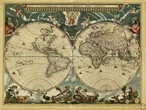
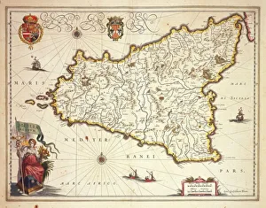
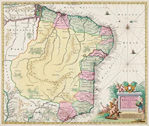
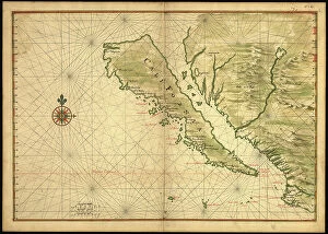
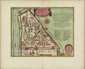
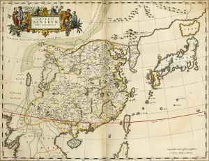
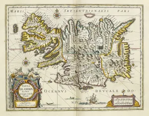
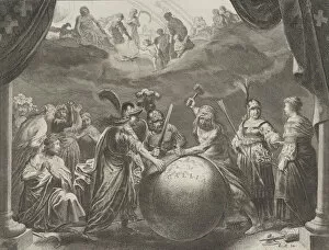
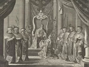
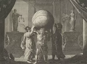
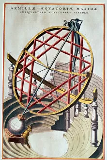
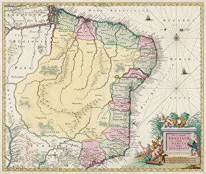
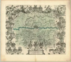
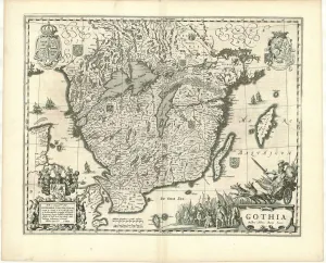
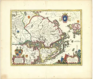
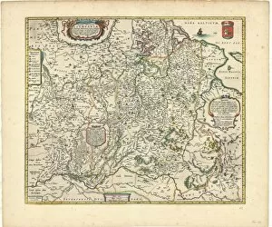
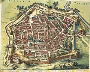
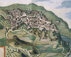
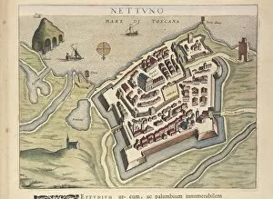
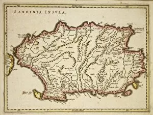
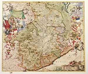
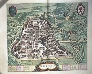
Joan Blaeu, a renowned cartographer of the 17th century, left an indelible mark on the world of maps. His meticulous craftsmanship and attention to detail are evident in his masterpieces such as the Map of Sicily region and the Map of Virginia and Florida. These hand-coloured engravings on vellum transport us back in time, allowing us to explore these regions as they were centuries ago. One cannot overlook Blaeu's contribution to documenting Moscow's history with his copper engravings and watercolor renditions of The Moscow Kremlin Map. Through his artistry, he captured the essence of this ancient city, providing us with invaluable insights into its architectural marvels. Blaeu's talent extended beyond geographical maps; he also delved into depicting cities like Rome and Bologna. His print from Theatrum Civitatum et Admirandorum showcases Rome's grandeur while his copper engraving captures the Archiginnasio Palace in Bologna with remarkable precision. Not limited to earthly realms, Blaeu even ventured into celestial cartography. His Celestial Globe takes us on a journey through the cosmos, revealing our place within this vast universe. The breadth of Blaeu's work is truly awe-inspiring - from Germany to Ischia; from Europe as a whole to individual cities and regions - each map tells a unique story. Whether it be exploring new territories or preserving historical landmarks, it has left an enduring legacy that continues to captivate scholars and enthusiasts alike.