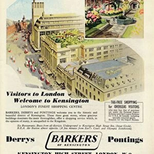
Home > Europe > United Kingdom > England > London > Sights > Kensington Gardens
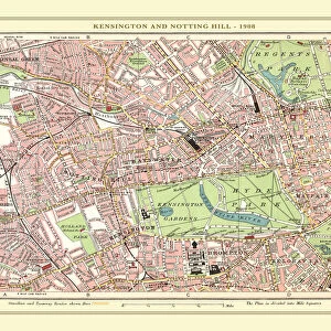
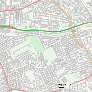
Kensington and Chelsea W14 9 Map

![]()
Wall Art and Photo Gifts from Map Marketing
Kensington and Chelsea W14 9 Map
Postcode Sector Map of Kensington and Chelsea W14 9
Media ID 19982868
Barton Road Beaumont Avenue Beaumont Crescent Bellamy Close Edith Road Fairholme Road Greyhound Road Kensington And Chelsea May Street North End Road St Andrews Road Stanier Close Star Road Franklin Square
FEATURES IN THESE COLLECTIONS
> Arts
> Artists
> W
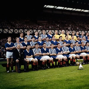
> Wilson Wilson
> Arts
> Portraits
> Pop art gallery
> Street art portraits
> Europe
> United Kingdom
> England
> London
> Sights
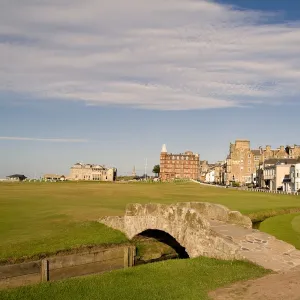
> Kensington Gardens
> Europe
> United Kingdom
> Scotland
> Fife
> St Andrews
> Europe
> United Kingdom
> Wales
> Powys
> Talgarth
> Map Marketing
> Postcode Sector Maps
> W - London W
> Maps and Charts
> Related Images
> Maps and Charts
> Star Charts
MADE IN THE USA
Safe Shipping with 30 Day Money Back Guarantee
FREE PERSONALISATION*
We are proud to offer a range of customisation features including Personalised Captions, Color Filters and Picture Zoom Tools
SECURE PAYMENTS
We happily accept a wide range of payment options so you can pay for the things you need in the way that is most convenient for you
* Options may vary by product and licensing agreement. Zoomed Pictures can be adjusted in the Cart.