
Geographical Collection (page 3)
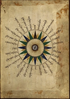
"Journey through Time and Space: Exploring the Geographical Evolution" Al-Idrisi's World Map, 1154: Unveiling ancient cartographic wisdom


All Professionally Made to Order for Quick Shipping
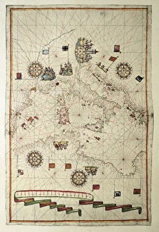
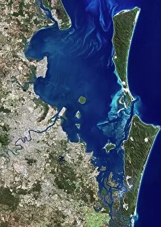
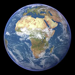
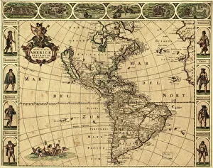
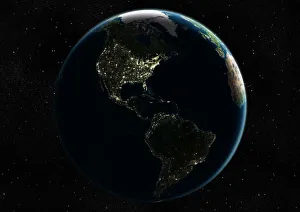
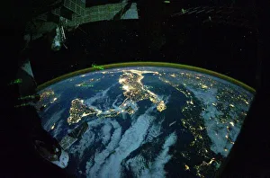
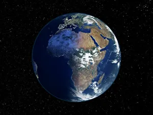
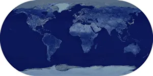
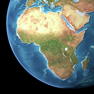
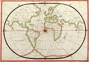
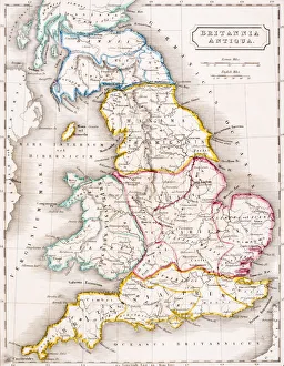
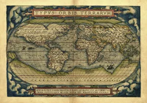
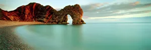
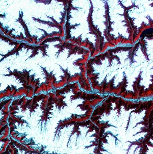
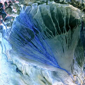
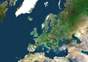
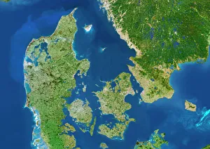
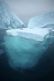
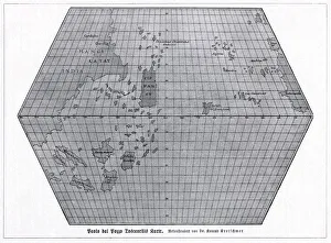
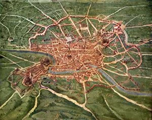
"Journey through Time and Space: Exploring the Geographical Evolution" Al-Idrisi's World Map, 1154: Unveiling ancient cartographic wisdom, this map showcases the Islamic scholar's remarkable understanding of global geography. Continental Drift after 250 Million Years: Witnessing Earth's transformative power, this concept reveals how tectonic plates shaped our continents over millions of years. Malham Cove, Yorkshire Dales: A geological marvel standing tall in the picturesque Yorkshire Dales, showcasing nature's artistic prowess carved by ice and water. British Empire World Map, 19th Century: Tracing the vast expanse of an empire on which the sun never set; a testament to Britain's once-global dominance. James Craig Map of New Town, Edinburgh, Scotland (1768): The birth of urban planning captured in ink; explore Edinburgh’s meticulously designed New Town with its unique topography. Anglo-Saxon 10th Century World Map: Delving into medieval perceptions of our planet; discover how early societies envisioned their place within a world still shrouded in mystery. Catalan Atlas, 14th Century: Marvel at one of history’s most exquisite maps as it unveils Europe’s expanding knowledge during the Middle Ages – a true masterpiece. UK at Night from Space: Behold Britain illuminated like never before. This awe-inspiring view from space captures the vibrant tapestry that is modern-day United Kingdom after sundown. Orteliuss Map of Ottoman Empire (1570): Step back into time and witness one man’s meticulous depiction of an empire that spanned three continents - revealing cultural diversity and grandeur. Europe at Night - Satellite Image & Europe at Night - Illuminating Boundaries : Gaze upon two contrasting images capturing Europe under different lights – highlighting both unity and division across nations 17th Century World Map.