Home > Europe > United Kingdom > Scotland > Maps
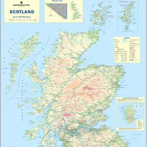
Map of Britain in 626, from The Northumbrian Kingdom 588 to 685 in A Short History

![]()
Wall Art and Photo Gifts from Fine Art Finder
Map of Britain in 626, from The Northumbrian Kingdom 588 to 685 in A Short History
KW392502 Map of Britain in 626, from The Northumbrian Kingdom 588 to 685 in A Short History of the English People by J. R. Green, published 1893 (litho) by English School, (19th century); Private Collection; Ken Welsh; English, out of copyright
Media ID 12871915
© www.bridgemanimages.com
Anglo Saxon C07th Cartography Counties County Early Medieval Mapping Northumbria Region Regions Territories Territory Wales
FEATURES IN THESE COLLECTIONS
> Europe
> United Kingdom
> England
> Maps
> Europe
> United Kingdom
> Scotland
> Maps
> Europe
> United Kingdom
> Wales
> Maps
> Fine Art Finder
> Maps (celestial & Terrestrial)
> Fine Art Finder
> Schools
> English School
> Maps and Charts
> Early Maps
> Maps and Charts
> Wales
EDITORS COMMENTS
This print showcases a historical treasure, the "Map of Britain in 626". Taken from J. R. Green's renowned book, "A Short History of the English People" published in 1893, this lithograph offers a glimpse into the Northumbrian Kingdom's supremacy between 588 and 685. The map presents an intricate web of counties, territories, and regions that once constituted England, Scotland, and Wales during the early medieval period. It beautifully illustrates the vast extent of Northumbria's influence at its peak under King Eadwine. Every detail on this map tells a story; it reveals how borders shifted over time as kingdoms rose and fell. The delicate lines trace ancient boundaries while providing insight into the Anglo-Saxon era. This piece is not merely cartography but also an invaluable historical artifact. As we gaze upon this print, we are transported back to a bygone era when power struggles shaped British history. It serves as a reminder of our rich heritage and invites us to explore our roots further. Preserved within private collections for generations before being made available through Ken Welsh's collection via Fine Art Finder website (www. bridgemanimages. com), this image allows us to appreciate both its artistic value and educational significance. Let it inspire curiosity about our ancestors' lives while marveling at their mastery in mapping their world centuries ago.
MADE IN THE USA
Safe Shipping with 30 Day Money Back Guarantee
FREE PERSONALISATION*
We are proud to offer a range of customisation features including Personalised Captions, Color Filters and Picture Zoom Tools
SECURE PAYMENTS
We happily accept a wide range of payment options so you can pay for the things you need in the way that is most convenient for you
* Options may vary by product and licensing agreement. Zoomed Pictures can be adjusted in the Cart.