Home > Europe > France > Canton > Landes
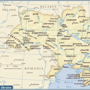
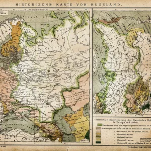
1574 Ruscelli Map Of Russia Muscovy And Ukraine

![]()
Wall Art and Photo Gifts from Universal Images Group (UIG)
1574 Ruscelli Map Of Russia Muscovy And Ukraine
1574, Ruscelli Map of Russia, Muscovy and Ukraine
Universal Images Group (UIG) manages distribution for many leading specialist agencies worldwide
Media ID 38547738
© Artokoloro Quint Lox Limited
1574 Antique Map Latitude Longitude Mappa Mundi Old Antique Plan Old Antique View Ols Antique Map Rare Old Maps Topo
FEATURES IN THESE COLLECTIONS
> Europe
> France
> Canton
> Landes
> Europe
> Russia
> Related Images
> Europe
> Ukraine
> Related Images
> Historic
> Space exploration
> Maps and Charts
> Early Maps
> Maps and Charts
> Related Images
> Universal Images Group (UIG)
> History
> Historical Maps
EDITORS COMMENTS
Step back in time to the 16th century with this stunning print of the 1574 Ruscelli Map of Russia, Muscovy and Ukraine. This beautifully illustrated map is a testament to the cartographic skills of Girolamo Ruscelli, an Italian geographer and cartographer who was renowned for his meticulous attention to detail.
The map depicts the vast expanse of Eastern Europe, stretching from present-day Poland and Lithuania in the west to Siberia in the east. The region is rendered in exquisite detail, with intricate illustrations of mountains, rivers, forests, and cities. Note the sprawling cityscapes of Moscow and Kiev, as well as the numerous trade routes that crisscrossed this important region.
This historic map not only provides a fascinating glimpse into the geography and topography of Russia and Ukraine during this period but also offers a unique perspective on how our understanding of these regions has evolved over time. Whether you're a history buff or simply someone who appreciates beautiful artistry, this vintage map print is sure to captivate your imagination.
MADE IN THE USA
Safe Shipping with 30 Day Money Back Guarantee
FREE PERSONALISATION*
We are proud to offer a range of customisation features including Personalised Captions, Color Filters and Picture Zoom Tools
SECURE PAYMENTS
We happily accept a wide range of payment options so you can pay for the things you need in the way that is most convenient for you
* Options may vary by product and licensing agreement. Zoomed Pictures can be adjusted in the Cart.