Poster Print : 1745, Seale Map or Chart of the Mediterranean Sea, topography, cartography, geography

![]()
Poster Prints From Liszt Collection
1745, Seale Map or Chart of the Mediterranean Sea, topography, cartography, geography
1745, Seale Map or Chart of the Mediterranean Sea
Liszt Collection of nineteenth-century engravings and images to browse and enjoy
Media ID 14006618
© Artokoloro Quint Lox Limited
1745 Antique Map Latitude Longitude Mappa Mundi Old Antique Plan Old Antique View Ols Antique Map Rare Old Maps Topo
20x30 inch Poster Print
Discover the rich history of cartography with our stunning poster prints from the Media Storehouse collection. This particular piece showcases the 1745 Seale Map or Chart of the Mediterranean Sea, a captivating representation of the geography, topography, and cartographic knowledge of the time from the esteemed Liszt Collection. Bring the intriguing world of maritime exploration into your home or office with this beautifully detailed and historically significant poster print. A must-have for history buffs, cartography enthusiasts, or anyone seeking to add a touch of historical charm to their space.
Poster prints are budget friendly enlarged prints in standard poster paper sizes. Printed on 150 gsm Matte Paper for a natural feel and supplied rolled in a tube. Great for framing and should last many years. To clean wipe with a microfiber, non-abrasive cloth or napkin. Our Archival Quality Photo Prints and Fine Art Paper Prints are printed on higher quality paper and the choice of which largely depends on your budget.
Poster prints are budget friendly enlarged prints in standard poster paper sizes (A0, A1, A2, A3 etc). Whilst poster paper is sometimes thinner and less durable than our other paper types, they are still ok for framing and should last many years. Our Archival Quality Photo Prints and Fine Art Paper Prints are printed on higher quality paper and the choice of which largely depends on your budget.
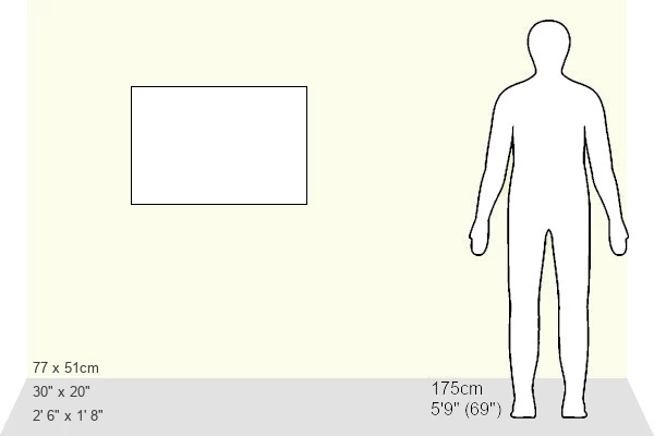
Estimated Product Size is 76.8cm x 51.4cm (30.2" x 20.2")
These are individually made so all sizes are approximate
Artwork printed orientated as per the preview above, with landscape (horizontal) or portrait (vertical) orientation to match the source image.
EDITORS COMMENTS
This print showcases the intricate details of a Seale Map or Chart of the Mediterranean Sea from 1745. With its rich topography, cartography, and geography, this vintage piece of art takes us on a journey through time. The carefully illustrated land formations and geographic features are beautifully depicted on this aged paper, evoking a sense of history and exploration. As we gaze upon this ancient map, we can't help but imagine the navigational challenges faced by sailors in centuries past. The grid lines representing latitude and longitude add a geometric precision to the chart, reminding us of the meticulous craftsmanship that went into creating such maps during that era. This decorative piece offers more than just historical value; it sparks our curiosity about the world as it once was. It serves as a reminder of how far we have come in terms of geographical knowledge and technological advancements. The Liszt Collection has preserved this rare old map with great care, allowing us to appreciate its beauty today. Whether you're an avid collector or simply fascinated by history, this antique map is sure to captivate your imagination and transport you back in time to an era when exploration was at its peak.
MADE IN THE USA
Safe Shipping with 30 Day Money Back Guarantee
FREE PERSONALISATION*
We are proud to offer a range of customisation features including Personalised Captions, Color Filters and Picture Zoom Tools
SECURE PAYMENTS
We happily accept a wide range of payment options so you can pay for the things you need in the way that is most convenient for you
* Options may vary by product and licensing agreement. Zoomed Pictures can be adjusted in the Basket.