
Latitude Collection
"Exploring the World Through Latitude: A Journey of Maps and Topography" Step back in time to 1768 with James Craig's Map of New Town, Edinburgh, Scotland


All Professionally Made to Order for Quick Shipping
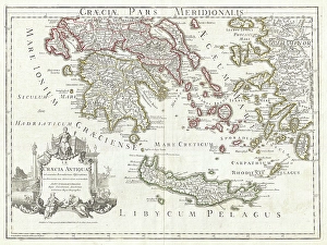
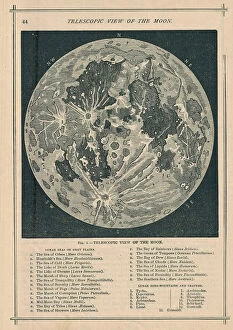
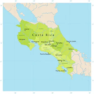
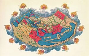
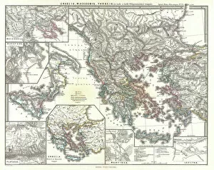
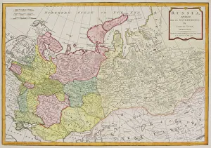
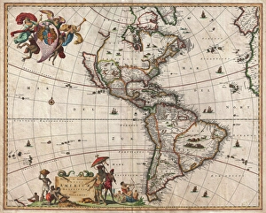
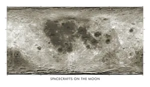
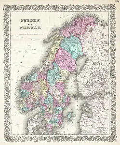
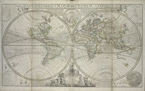
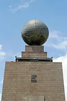
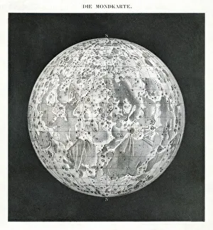
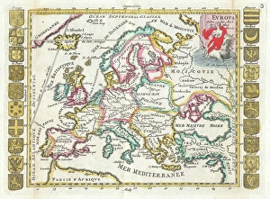
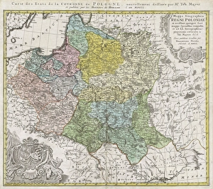
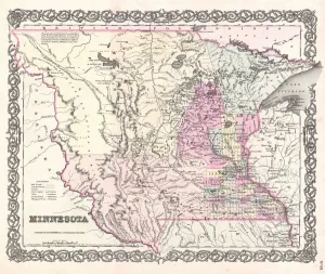
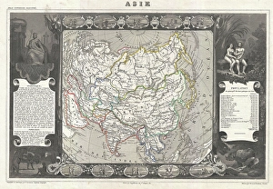
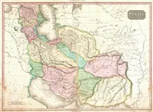
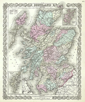
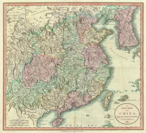
"Exploring the World Through Latitude: A Journey of Maps and Topography" Step back in time to 1768 with James Craig's Map of New Town, Edinburgh, Scotland. This intricate depiction showcases the birth of a new city, highlighting its topography and layout. Fast forward to 1794, where Delisle's Map takes us on an adventure through Southern Ancient Greece, Greek Isles, and Crete. Discover the stunning landscapes that shaped this ancient civilization. In 1886, a Telescopic View and Map of the Moon mesmerizes with its detailed cartography. Explore lunar topography as you delve into the mysteries of our celestial neighbor. Traveling to Costa Rica brings us a Vector Map that captures the beauty of this Central American gem. From lush rainforests to pristine beaches, uncover nature's wonders within its borders. An Antique map reveals Russia's rich history and vast territories. Marvel at how geography has shaped this mighty nation throughout centuries. Ptolemy's Map of the World from AD 150 transports us back in time when cartographers were pioneers in mapping our planet. Witness their early understanding of landmasses and geographical features. Witness mankind's triumphs as a spacecraft lands on the Moon accompanied by a lunar map. Explore uncharted territory through advanced technology while appreciating both artistry and science. Journey to 1658 with Visscher's Map showcasing North America and South America’s diverse topographies. Immerse yourself in these continents' varied landscapes from towering mountains to sprawling plains. The Colton Map from 1855 invites exploration across Scandinavia - Norway, Sweden, Finland - revealing their enchanting natural beauty through meticulous cartographic details. Spruner's Map takes us back even further – before Peloponnesian War – unveiling Greece’s captivating topography during ancient times. Trace historical paths etched upon rugged terrains that once witnessed great conflicts.