Poster Print > Animals > Mammals > Muridae > Western Mediterranean Mouse
Poster Print : Map of Corsica, c.1900 (engraving)
")
![]()
Poster Prints From Fine Art Finder
Map of Corsica, c.1900 (engraving)
533290 Map of Corsica, c.1900 (engraving); (add.info.: Map of Corsica, France, circa 1902, from the 10th edition of Encyclopaedia Britannica.); Encyclopaedia Britannica/UIG
Media ID 38208750
© Encyclopaedia Britannica/UIG / Bridgeman Images
1902 19th Century Style Corsica Guidance Illustration Technique Mediterranean Sea Meridian Navigational Equipment Old Fashioned Physical Geography The Past Western Script
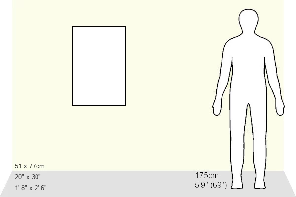
20x30 inch Poster Print
Explore our collection of vintage-inspired Poster Prints, featuring the intricate and historical "Map of Corsica, c.1900" by Bridgeman Images from Fine Art Finder. Perfect for adding a touch of old-world charm to any space.
Poster prints are budget friendly enlarged prints in standard poster paper sizes. Printed on 150 gsm Matte Paper for a natural feel and supplied rolled in a tube. Great for framing and should last many years. To clean wipe with a microfiber, non-abrasive cloth or napkin. Our Archival Quality Photo Prints and Fine Art Paper Prints are printed on higher quality paper and the choice of which largely depends on your budget.
Poster prints are budget friendly enlarged prints in standard poster paper sizes (A0, A1, A2, A3 etc). Whilst poster paper is sometimes thinner and less durable than our other paper types, they are still ok for framing and should last many years. Our Archival Quality Photo Prints and Fine Art Paper Prints are printed on higher quality paper and the choice of which largely depends on your budget.
Estimated Product Size is 51.4cm x 76.8cm (20.2" x 30.2")
These are individually made so all sizes are approximate
Artwork printed orientated as per the preview above, with landscape (horizontal) or portrait (vertical) orientation to match the source image.
FEATURES IN THESE COLLECTIONS
> Fine Art Finder
> Temp Classification
> Animals
> Mammals
> Muridae
> Western Mediterranean Mouse
> Maps and Charts
> Related Images
EDITORS COMMENTS
This stunning engraving of a Map of Corsica, dating back to around 1900, offers a glimpse into the past and showcases the intricate cartography of this beautiful island in France. The detailed illustration captures the essence of Corsica's rugged coastline, with its western script labeling key geographical features.
As we study this vintage map, we are transported back to a time when navigational equipment was essential for exploration and discovery. The meridian lines and sea routes depicted on the map speak to a bygone era of seafaring adventures and maritime trade in the Mediterranean Sea.
The old-fashioned charm of this engraving is evident in its meticulous attention to detail and artistic flair. It serves as a reminder of the importance of maps in guiding travelers through unfamiliar territories and providing valuable insights into physical geography.
Whether you have an interest in historical maps or simply appreciate fine artistry, this print is sure to captivate your imagination. Let yourself be drawn into the world of 19th-century cartography with this exquisite depiction of Corsica, brought to life by Bridgeman Images from Fine Art Finder.
MADE IN THE USA
Safe Shipping with 30 Day Money Back Guarantee
FREE PERSONALISATION*
We are proud to offer a range of customisation features including Personalised Captions, Color Filters and Picture Zoom Tools
SECURE PAYMENTS
We happily accept a wide range of payment options so you can pay for the things you need in the way that is most convenient for you
* Options may vary by product and licensing agreement. Zoomed Pictures can be adjusted in the Basket.