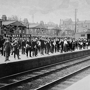
Home > Europe > United Kingdom > England > London > Towns > Palmers Green
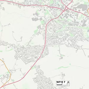
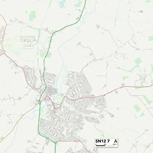
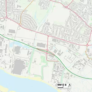
Thurrock RM17 5 Map

![]()
Wall Art and Photo Gifts from Map Marketing
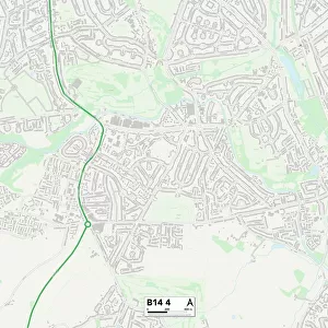
Thurrock RM17 5 Map
Postcode Sector Map of Thurrock RM17 5
Media ID 19977812
Addison Gardens Argyll Road Balfour Road Belmont Road Broadlands Brooke Road Castle Road College Avenue College Road Cromwell Road Dell Road Derby Road Devonshire Road Dexter Close Dukes Avenue Eastern Road Eastern Way Fairfax Road Florence Close Hampden Road Hathaway Road Hillside Hogg Lane Ingram Road Kiln Way London Road Lucas Road Maidstone Road Malvern Road Meadway Milton Road Moss Bank Northfields Orchard Drive Parker Road Quarry Hill Ridgeway Rookwood Close Rosebery Road Southend Road St Georges Avenue Stuart Road Tennyson Avenue Thurrock Wallace Road Walpole Close Ward Avenue Wharf Road Whitehall Road Wingfield Woodward Close Grays Helleborine
FEATURES IN THESE COLLECTIONS
> Animals
> Mammals
> Phocidae
> Grey Seal
> Europe
> United Kingdom
> England
> London
> Sights
> Green Park
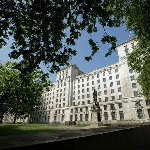
> Europe
> United Kingdom
> England
> London
> Sights
> Whitehall
> Europe
> United Kingdom
> England
> London
> Towns
> Belmont
> Europe
> United Kingdom
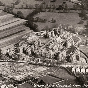
> England
> London
> Towns
> Grove Park
> Europe
> United Kingdom
> England
> London
> Towns
> Palmers Green
> Europe
> United Kingdom
> Scotland
> Argyll
> Map Marketing
> Postcode Sector Maps
> RM - Romford
> Map Marketing
> UK Maps
> Maps and Charts
> Related Images
MADE IN THE USA
Safe Shipping with 30 Day Money Back Guarantee
FREE PERSONALISATION*
We are proud to offer a range of customisation features including Personalised Captions, Color Filters and Picture Zoom Tools
SECURE PAYMENTS
We happily accept a wide range of payment options so you can pay for the things you need in the way that is most convenient for you
* Options may vary by product and licensing agreement. Zoomed Pictures can be adjusted in the Cart.