
Wharf Road Collection
Wharf Road: A Journey Through History and Connectivity Located in various parts of the United Kingdom


All Professionally Made to Order for Quick Shipping
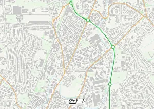
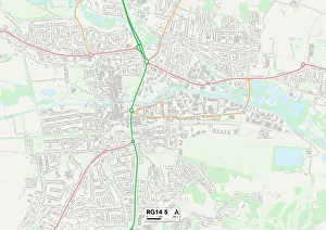
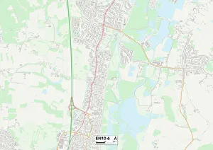
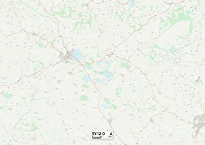
Wharf Road: A Journey Through History and Connectivity Located in various parts of the United Kingdom, it has witnessed significant historical events and played a crucial role in connecting people across vast distances. From Berkshire to Broxbourne, Coventry to Shropshire, Cornwall to Spelthorne, Staffordshire to Southampton - each location holds its own unique tale. Starting in Berkshire RG14 5 Map, Wharf Road stands as a testament to progress and innovation. It was here that the Gutta Percha Speaking Tube was advertised - an engraving showcasing the advancement of communication technology during its time. This tube revolutionized conversation by providing clear transmission over long distances. Moving on to Broxbourne EN10 6 Map, Wharf Road's significance extends further with machines covering the Atlantic Cable wire with Gutta Percha. The engravings depicting this process highlight how this material protected the cable from external elements while ensuring uninterrupted communication between continents. Coventry CV6 5 Map takes us deeper into history as we explore the manufacture of the Atlantic Telegraph Cable itself. These engravings depict skilled workers meticulously crafting cables that would connect nations and bridge gaps in understanding. Shropshire SY12 0 Map reveals another facet of Wharf Road's importance - it served as a vital link for trade and commerce. With its strategic location near waterways or ports, it facilitated transportation of goods essential for economic growth. Cornwall TR26 1 Map showcases yet another chapter in Wharf Road's journey through time. Here lies evidence of connectivity through maps like TR18 2 Map where coastal areas were connected via this road network – enabling seamless travel for both locals and visitors alike. Spelthorne TW19 5 Map brings us closer to modern times where infrastructure development became paramount. As part of urban expansion plans, Wharf Road transformed into a bustling thoroughfare connecting communities within Spelthorne and beyond.