Home > Europe > United Kingdom > England > London > Boroughs > Kingston upon Thames
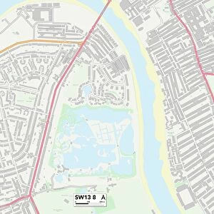
Kingston upon Thames KT6 5 Map

![]()
Wall Art and Photo Gifts from Map Marketing
Kingston upon Thames KT6 5 Map
Postcode Sector Map of Kingston upon Thames KT6 5
Media ID 19973050
Alston Close Balaclava Road Brighton Road Brook Road Church Meadow Church Road Devonshire Drive Effingham Road Endsleigh Gardens Gladstone Road Hastings Drive Herne Road Highfield Close Hook Road Houston Road Jennings Close Kelvin Grove Kings Road Kingston Upon Thames Love Lane Oaks Way Orchard Close Portsmouth Road Pound Close Prospect Road Rectory Close Rectory Lane Saffron Way Sharon Close Sherwood Shrewsbury Close St Chads Close St Marys Road Victoria Avenue Waterside Close Wentworth Close Windmill Close Windmill Lane Akerman Road Cottage Grove
FEATURES IN THESE COLLECTIONS
> Africa
> Chad
> Related Images
> Europe
> United Kingdom
> England
> London
> Boroughs
> Kingston upon Thames
> Map Marketing
> Postcode Sector Maps
> KT - Kingston upon Thames
> Maps and Charts
> Related Images
MADE IN THE USA
Safe Shipping with 30 Day Money Back Guarantee
FREE PERSONALISATION*
We are proud to offer a range of customisation features including Personalised Captions, Color Filters and Picture Zoom Tools
SECURE PAYMENTS
We happily accept a wide range of payment options so you can pay for the things you need in the way that is most convenient for you
* Options may vary by product and licensing agreement. Zoomed Pictures can be adjusted in the Cart.