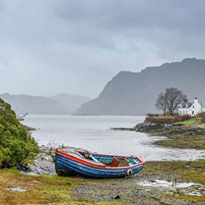
Jigsaw Puzzle > Popular Themes > Isle of Skye
Jigsaw Puzzle : MAP: SCOTLAND, 1849. Map of Scotland. Engraving published by S. Augustus Mitchell


![]()
Jigsaw Puzzles From Granger
MAP: SCOTLAND, 1849. Map of Scotland. Engraving published by S. Augustus Mitchell
MAP: SCOTLAND, 1849.
Map of Scotland. Engraving published by S. Augustus Mitchell, 1849
Granger holds millions of images spanning more than 25,000 years of world history, from before the Stone Age to the dawn of the Space Age
Media ID 13637026
1849 Atlantic Ocean Augustus Hebrides Mitchell North Sea Scotland Scottish Isle Of Skye Orkney Islands Shetland Islands
Jigsaw Puzzle (520 Pieces)
Discover the beauty and history of Scotland with our intricately designed jigsaw puzzle from Media Storehouse. This captivating puzzle features an authentic, antique map of Scotland, published by S. Augustus Mitchell in 1849. The intricately detailed engraving, sourced from The Granger Collection, invites you to explore the land of lochs, castles, and rugged terrain. Immerse yourself in the puzzle-solving experience and uncover the stories hidden within this piece of Scottish history. Perfect for puzzle enthusiasts, history buffs, or anyone seeking a challenging and rewarding pastime.
Made in the USA, 520-piece puzzles measure 16" x 20" (40.6 x 50.8 cm). Every puzzle is meticulously printed on glossy photo paper, which has a strong 1.33 mm thickness. Delivered in a black storage cardboard box, these puzzles are both stylish and practical. (Note: puzzles contain small parts and are not suitable for children under 3 years of age.)
Jigsaw Puzzles are an ideal gift for any occasion
Estimated Product Size is 40.5cm x 50.8cm (15.9" x 20")
These are individually made so all sizes are approximate
Artwork printed orientated as per the preview above, with landscape (horizontal) or portrait (vertical) orientation to match the source image.
EDITORS COMMENTS
This print showcases a historical map of Scotland from the year 1849. The intricate engraving, published by S. Augustus Mitchell, provides a detailed representation of the Scottish landscape during that era. The map encompasses various significant locations such as the Hebrides, Isle of Skye, Orkney Islands, and Shetland Islands. The artist's attention to detail is evident in this piece, with each region clearly labeled and accompanied by descriptive text. As we gaze upon this vintage map, it transports us back in time to an age when cartography was both an art form and a means of navigation. The coastal areas are particularly striking on this map; the Atlantic Ocean stretches out towards the west while the North Sea borders Scotland's eastern shores. These bodies of water played crucial roles in shaping Scotland's history and culture. Whether you have ancestral ties to Scotland or simply appreciate its rich heritage, this print offers a unique glimpse into its past. Hang it proudly on your wall as a conversation starter or use it as inspiration for planning your next adventure through these historic lands.
MADE IN THE USA
Safe Shipping with 30 Day Money Back Guarantee
FREE PERSONALISATION*
We are proud to offer a range of customisation features including Personalised Captions, Color Filters and Picture Zoom Tools
SECURE PAYMENTS
We happily accept a wide range of payment options so you can pay for the things you need in the way that is most convenient for you
* Options may vary by product and licensing agreement. Zoomed Pictures can be adjusted in the Basket.