
Thomas Kitchin Collection
Thomas Kitchin was a renowned cartographer who created numerous county maps during the late 18th century


All Professionally Made to Order for Quick Shipping
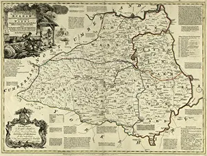
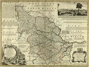
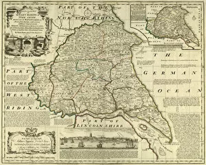
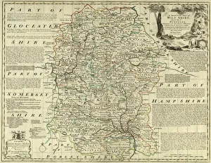
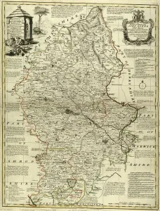
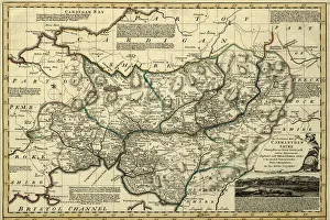
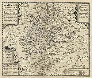
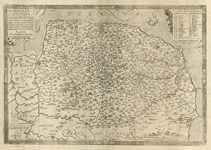
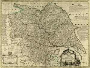
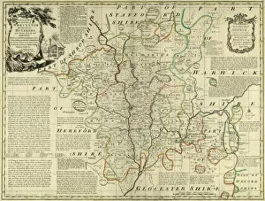
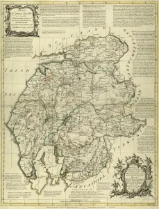
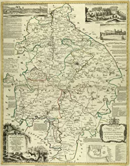
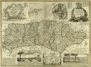
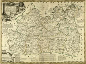
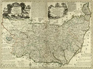
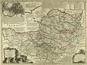
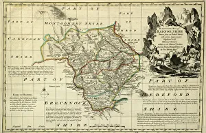
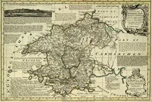
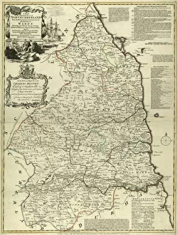
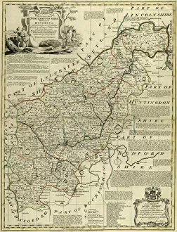
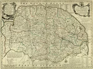
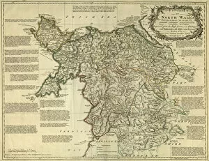
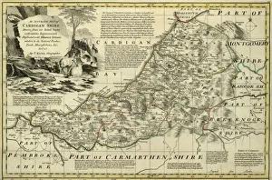
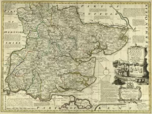
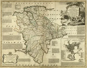
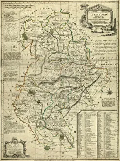
Thomas Kitchin was a renowned cartographer who created numerous county maps during the late 18th century. His intricate and detailed works provide us with valuable insights into the geography and boundaries of various regions in England and Wales. One such masterpiece is his County Map of County Durham, crafted around 1777. This map showcases the stunning landscapes, towns, and villages that make up this historic county. Moving on to another remarkable creation by Kitchin, we have his County Map of Yorkshire East Riding from approximately the same period. With meticulous precision, he captures the sprawling beauty of this region known for its picturesque countryside and charming coastal towns. Kitchin's talent extended beyond England as well; he also produced a captivating County Map of Camarthenshire in Wales during this time. This map highlights the enchanting Welsh landscape dotted with castles, rolling hills, and vibrant communities. Delving further into history, we encounter William Smith's rendition of Warwickshire based on Saxton's original work from around 1600. Kitchin played a role in preserving these historical maps by reprinting them for future generations to appreciate. Christopher Saxton's legacy lives on through Kitchin's reprinting efforts as well. The County Maps of Norfolk (reprinted in 1641) and Suffolk (dated circa 1650) showcase Saxton's exceptional craftsmanship while providing invaluable insights into these counties' rich heritage. Returning to Yorkshire once again, Kitchin presents us with three distinct maps: Yorkshire itself along with its West Riding and North Riding counterparts. These masterpieces allow us to explore every nook and cranny of one of England's largest counties – from bustling cities like Leeds to tranquil rural landscapes like the Yorkshire Dales. Lastly, we have Kitchin’s County Maps of Worcestershire as well as Westmoreland and Cumberland – both created circa 1777.