
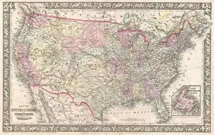
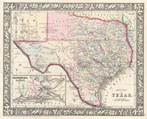
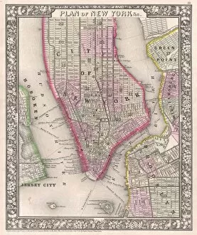
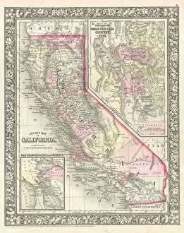
Mappa Mundi Collection (page 4)
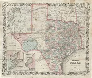
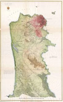
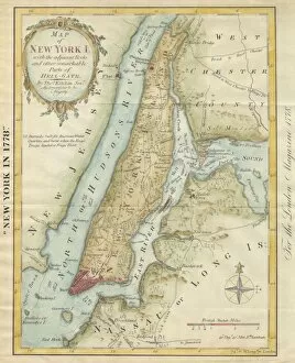
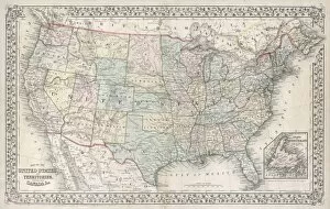
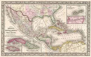
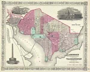
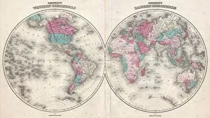
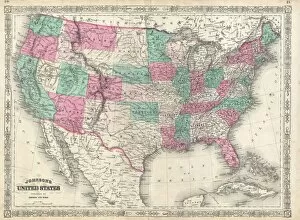
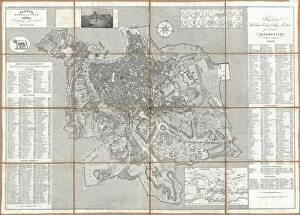
The Hereford Mappa Mundi, created by Richard de Bello in 1285, is a fascinating depiction of the world during that time


All Professionally Made to Order for Quick Shipping
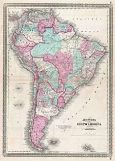
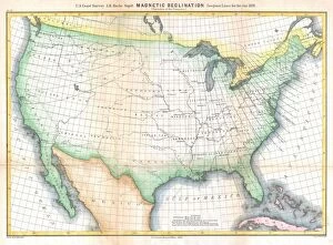
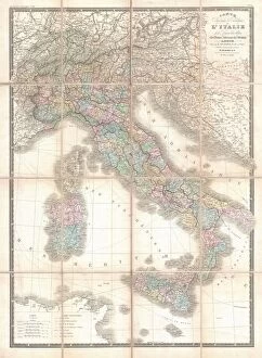
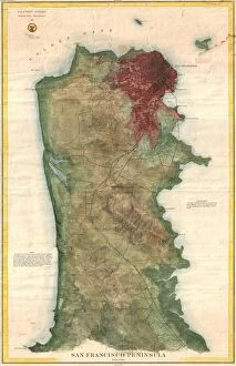
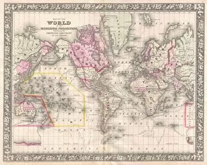
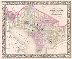
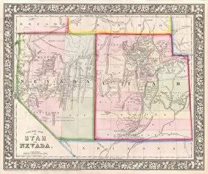
The Hereford Mappa Mundi, created by Richard de Bello in 1285, is a fascinating depiction of the world during that time. This intricate map showcases various regions and landmarks with remarkable detail. Moving forward to 1768, James Craig's Map of New Town in Edinburgh provides an early glimpse into the topography of this Scottish city. The Anglo-Saxon 10th century world map offers insight into how our ancestors perceived the world around them. Fast forward to the Catalan Atlas from the 14th century, which presents a comprehensive view of Europe, Africa, and Asia. Delisle's Map of Southern Ancient Greece in 1794 highlights Greek Isles and Crete with meticulous attention to topography. Intriguingly, an 1886 Telescopic View and Map of the Moon takes us beyond Earth's boundaries as it explores lunar cartography and geography. The Cottonian or Anglo-Saxon World Map from the 11th century demonstrates how medieval Europeans envisioned their place within a vast cosmos. Moving on to Sawley or Enrico di Magonza's Mappa Mundi from the 12th century, we encounter an exquisite piece crafted using ink and colors on parchment. Visscher's Map of North America and South America in 1658 captures both continents' diverse landscapes through detailed cartography. Lastly, Colton's Map of Scandinavia in 1855 provides valuable insights into Norway, Sweden, Finland while showcasing their unique topographical features. These maps offer glimpses into different eras throughout history when people sought to understand our planet better through artful representations known as mappa mundi - truly captivating windows into our past.