
Emanuel Bowen Collection
Emanuel Bowen: Mapping the British Isles in the 18th Century Step back in time to the late 1700s with Emanuel Bowen


All Professionally Made to Order for Quick Shipping
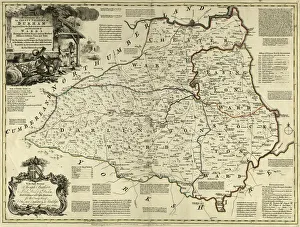
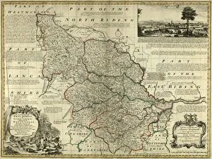
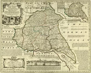
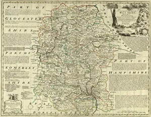
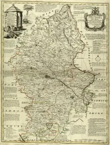
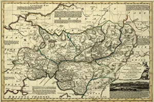
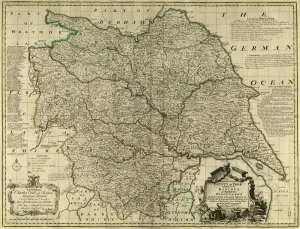
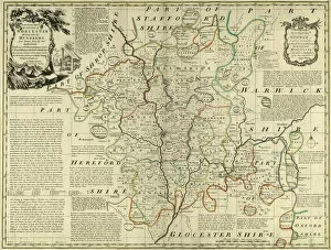
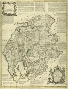
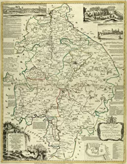
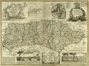
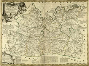
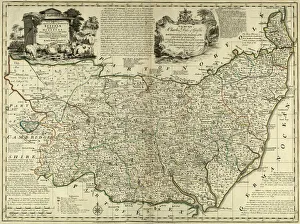
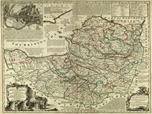
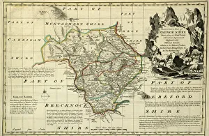
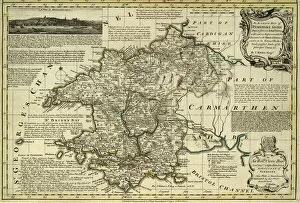
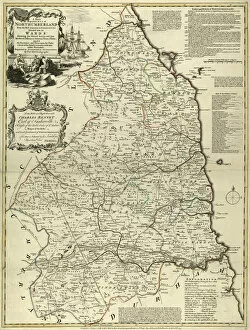
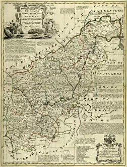
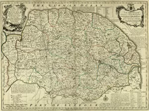
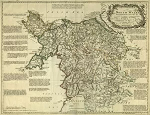
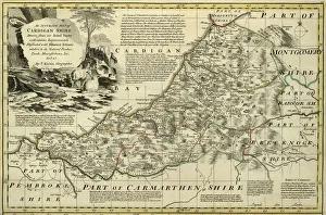
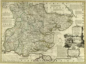
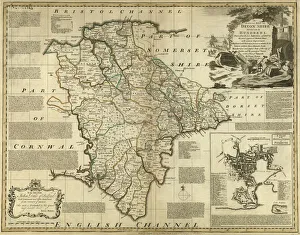
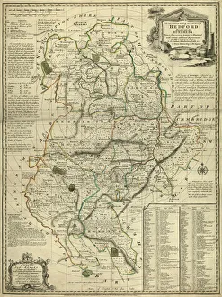
Emanuel Bowen: Mapping the British Isles in the 18th Century Step back in time to the late 1700s with Emanuel Bowen, a renowned cartographer who meticulously crafted detailed county maps of various regions across England and Wales. Born in Wales, Bowen's passion for geography and mapmaking led him to produce some of the most accurate depictions of counties during his era. One such masterpiece is his County Map of County Durham, created around 1777. This intricately designed map showcases the boundaries, towns, rivers, and roads that define this historic region. With an eye for detail and precision, Bowen captured not only geographical features but also important landmarks that shaped County Durham's identity. Moving eastward on our journey through time, we encounter another gem from Bowen's collection - the County Map of Yorkshire East Riding. Crafted with utmost care and skill, this map provides a window into Yorkshire's past landscape. From bustling market towns to serene countryside vistas, every corner is brought to life by Bowen's artistic talent. Venturing further south brings us to Wiltshire - a county immortalized by Bowen's artistry on his County Map of Wiltshire. As if painting with ink and parchment instead of brushstrokes on canvas, he captures Wiltshire's essence through its rolling hills dotted with charming villages like pieces on a grand tapestry. Crossing over into Wales reveals yet another treasure within Emanuel Bowen's repertoire - the County Map of Camarthenshire. This stunning piece showcases both natural beauty and man-made structures that defined this Welsh county during its historical heyday. Returning once more to Yorkshire unveils three more masterpieces: The County Maps of Yorkshire as well as West Riding and North Riding specifically. Each one delves deep into these regions' distinct characteristics - be it industrial hubs or picturesque landscapes adorned with ancient castles standing tall against time itself. Bowen didn't limit himself solely to England and Wales, as evidenced by his County Map of Worcestershire.