
Bowens Map Collection
"Bowen's Map: A Glimpse into 18th Century County Boundaries" Step back in time with Bowen's county maps, meticulously crafted in the year 1777


All Professionally Made to Order for Quick Shipping
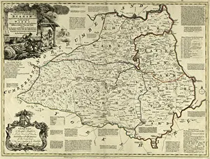
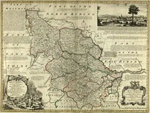
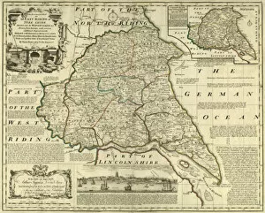
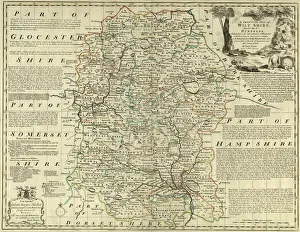
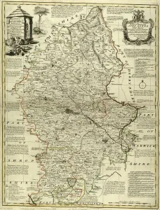
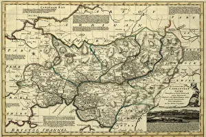
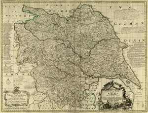
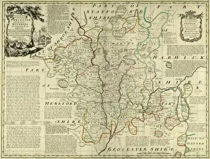
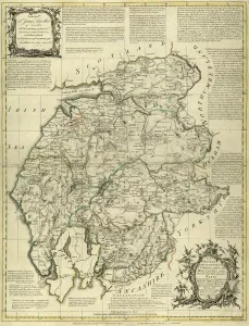
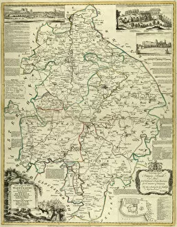
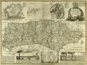
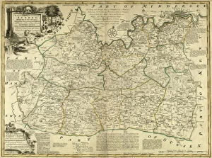
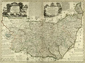
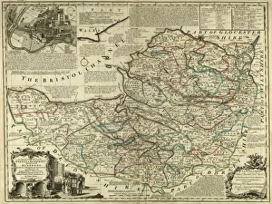
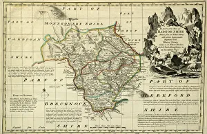
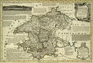
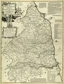
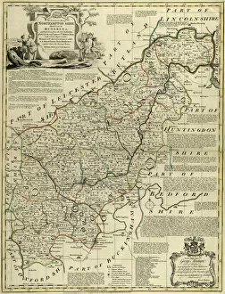
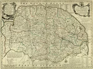
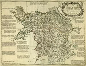
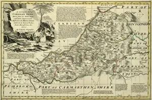
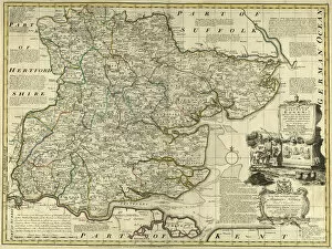
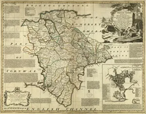
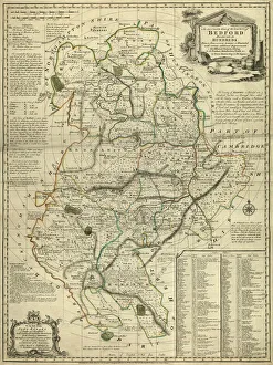
"Bowen's Map: A Glimpse into 18th Century County Boundaries" Step back in time with Bowen's county maps, meticulously crafted in the year 1777. These stunning cartographic masterpieces provide a captivating window into the geographical landscape of various regions across England and Wales. From the County Map of County Durham to the County Map of Yorkshire East Riding, each map offers a detailed representation of its respective area. Immerse yourself in history as you explore the intricate lines and contours that define these counties. Delve into Camarthenshire, Wales, through Bowen's lens and discover its unique topography. Traverse Yorkshire from north to south with three distinct maps showcasing West Riding, North Riding, and the entire region itself. Wander through Worcestershire on paper trails laid out centuries ago or venture further west to uncover Westmoreland and Cumberland's hidden secrets. Warwickshire beckons with its enchanting landscapes while Sussex reveals its charm through Bowen's artistry. Uncover forgotten tales embedded within these ancient boundaries as you trace your finger along Surrey's edges or marvel at Wiltshire's historical significance. Each map is not merely an artifact but a testament to human curiosity about our surroundings. Bowen's maps serve as more than just navigational aids; they are gateways connecting us to bygone eras when exploration was limited yet imagination boundless. Transport yourself back to 1777 and witness how geography shaped lives during this pivotal period. Whether you're an avid historian seeking insight into regional development or simply captivated by antique cartography, Bowen’s county maps offer a fascinating glimpse into England and Wales' past. So grab your magnifying glass and embark on a journey through time with Bowens Maps - where history unfolds before your very eyes.