

Framed Prints From Mary Evans
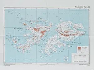
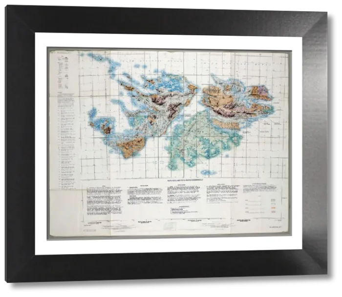
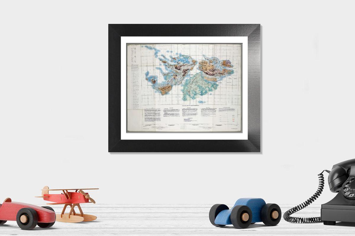
Framed Print of Falkland Islands Royal Engineer briefing map, 1982
Falkland Islands Royal Engineer briefing map, 1982 (c); with typescript annotations relating to the condition and passibility of airfields, roads and tracks by tracked and wheeled vehicles. From papers relating to the South Atlantic (Falklands War) (1982), collected by 24057159 WO2 David Langham, 81 Ordnance Company, Royal Army Ordnance Corps. Date: circa 1982. Mary Evans Picture Library makes available wonderful images created for people to enjoy over the centuries. © The National Army Museum / Mary Evans Picture Library
Artwork supplied by Mary Evans
Your chosen combination is quickly and professionally made to order, our shipping page has more details
If you are not entirely happy with your items, simply return them to us within 30 days for a replacement or full refund. Please read our full returns policy.
Media ID 14404020
Editors Comments
Framed Prints featuring historical maps like the Falkland Islands Royal Engineer briefing map from 1982. This authentic print shows a detailed military map with typescript annotations, perfect for history enthusiasts and collectors. Add a touch of nostalgia to any room with our Framed Prints.
This artwork is also available as...
Photo Prints - Acquire a Photo Print of the Falkland Islands Royal Engineer briefing map, 1982, featuring typescript annotations on airfield and road conditions. This historical document shows military planning during a pivotal moment in history. Perfect for historians, military enthusiasts and collectors seeking authentic Photo Prints for their archives or personal collections.
Photo Mugs - Photo Mug, featuring an intriguing historical image of a Falkland Islands Royal Engineer briefing map from 1982. This mug shows annotated details of airfield conditions and passability of roads and tracks for both tracked and wheeled vehicles. Relive history with every sip from this mug, perfect for tea or coffee. The print ensures the image remains clear and crisp, making it a great conversation starter. Order yours today and bring a piece of history into your daily routine. (C) Mary Evans Prints Online, all rights reserved.
Poster Prints - Poster Prints featuring historical maps like the Falkland Islands Royal Engineer briefing map, 1982, with typescript annotations on airfields, roads and tracks. Perfect for history enthusiasts and collectors. Our Poster Prints are ideal for decorating homes and offices while showcasing fascinating military history.
Metal Prints - Add a touch of industrial chic to your space with Metal Prints, featuring reproductions of historical maps like the Falkland Islands Royal Engineer briefing map from 1982. Perfect for military history enthusiasts and collectors, these durable prints are made from metal sheets, ensuring colors and long-lasting durability.
Canvas Prints - Bring a piece of history into your home with our Canvas Prints, featuring the Falkland Islands Royal Engineer briefing map from 1982. This detailed map shows typescript annotations on airfields, roads and tracks by tracked and wheeled vehicles, making for an addition to any room or office.
Mouse Mats - Mouse Mats featuring historical maps like the Falkland Islands Royal Engineer briefing map, 1982, offering a blend of functionality and nostalgia. Perfect for gamers, office workers and history enthusiasts alike, our Mouse Mats provide comfort and accuracy while adding a touch of vintage charm to any home or office setup.
Image Download - Download a Falkland Islands Royal Engineer briefing map from 1982, featuring typescript annotations on airfield and road conditions for tracked and wheeled vehicles. This image is available under a Rights Managed license for personal use, courtesy of Mary Evans Picture Library.
Modern Frame 12"x10"
Ready to Hang Contemporary Framed Prints adds style, protection, and a polished touch to your space - effortlessly.
Your artwork will be printed as shown in the preview. To adjust please select Edit Printed Image under the Buy button
Made and Shipped from within the USA or Canada as appropriate. Printed on 10"x8" Premium Matte Paper offering bright, white paper with a matte finish with a digitally rendered mat surround offering the timeless look of professionally mounted artwork. Our 1″ Frames are available in a range of colours with clear acrylic shatterproof glazing and Kraft pad backer. Matte Paper offer a lighter-weight alternative to fine art paper which is optimized for artwork and can be suitable for photography in scenarios where a less glossy appearance is preferred. This sustainable paper printing is an alternative to our premium fine art paper. Each frame is 1″ wide by 3/4″ deep and glazed using standard 1/16” clear PETG to protect and enhance the visibility of each print. Ready to hang with a sawtooth metal hanger and sturdy backer.
These are individually made so all sizes are approximate
Estimated Image Size (if not cropped) is 19.8cm x 15.3cm (7.8" x 6")
Estimated Product Size is 30.5cm x 25.4cm (12" x 10")
Features In These Collections
> Europe > United Kingdom > Scotland > Fife > Falkland