Home > Oceania > Australia > Maps
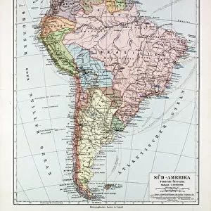
Australia and pacific islands map 1898

![]()
Wall Art and Photo Gifts from Fine Art Storehouse
Australia and pacific islands map 1898
Unleash your creativity and transform your space into a visual masterpiece!
THEPALMER
Media ID 14757022
© This content is subject to copyright
FEATURES IN THESE COLLECTIONS
> Fine Art Storehouse
> Map
> Historical Maps
> Maps and Charts
> Early Maps
EDITORS COMMENTS
This print titled "Australia and Pacific Islands Map 1898" takes us on a journey back in time to the late 19th century. The map, skillfully crafted by THEPALMER, showcases the intricate details of Australia and its surrounding Pacific islands during this era. As we gaze upon this historical piece, our eyes are immediately drawn to the beautifully illustrated landmasses that make up Australia. From the vast deserts of the Outback to the lush rainforests along its eastern coast, each region is meticulously depicted with precision and artistry. Beyond Australia's borders, we are transported to a world of enchanting islands scattered across the vast expanse of the Pacific Ocean. Each island is marked with delicate strokes, allowing us to imagine their unique landscapes and cultures that have captivated explorers for centuries. The sepia tones used in this print add an air of nostalgia, evoking a sense of adventure and discovery reminiscent of times gone by. It serves as a reminder of how far cartography has come since then while also honoring its rich history. Whether you're an avid traveler or simply appreciate fine art, this print offers a glimpse into a bygone era when maps were not just navigational tools but works of art themselves. Display it proudly in your home or office space as a conversation starter or as an homage to exploration and curiosity about our world's past.
MADE IN THE USA
Safe Shipping with 30 Day Money Back Guarantee
FREE PERSONALISATION*
We are proud to offer a range of customisation features including Personalised Captions, Color Filters and Picture Zoom Tools
SECURE PAYMENTS
We happily accept a wide range of payment options so you can pay for the things you need in the way that is most convenient for you
* Options may vary by product and licensing agreement. Zoomed Pictures can be adjusted in the Cart.