
Maps Collection
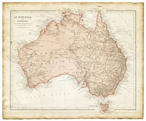
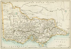
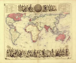
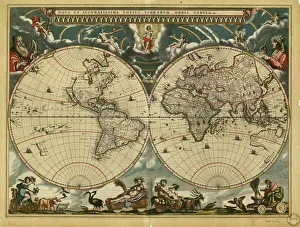
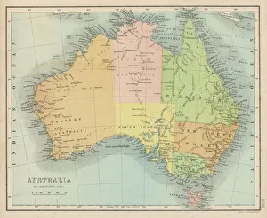
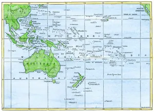
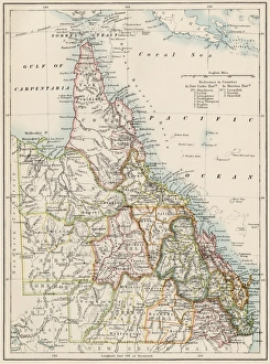
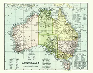
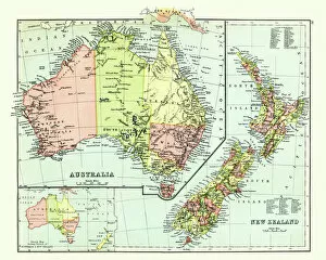
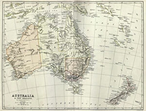
Maps of Australia Oceania are a collection of detailed maps that provide an overview of the geographical features and terrain of the region
Choose a picture from our Maps Collection for your Wall Art and Photo Gifts
760 items


All Professionally Made to Order for Quick Shipping
-
Maps Collection
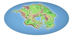
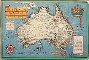
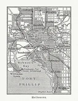
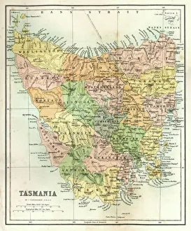
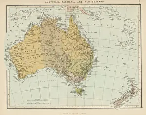
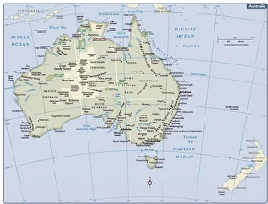
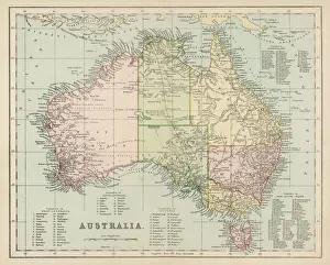
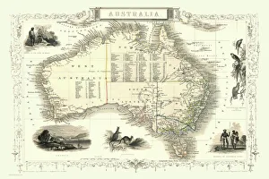
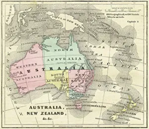
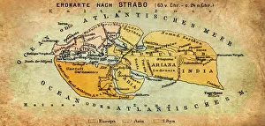
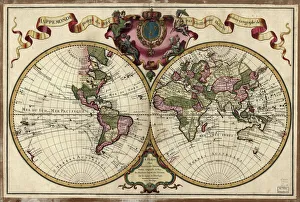
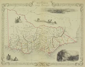
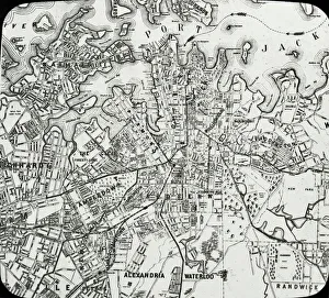
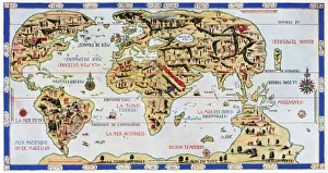
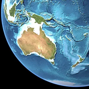
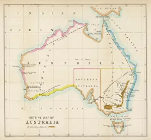
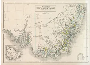
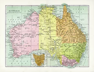
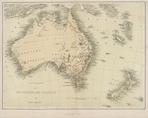
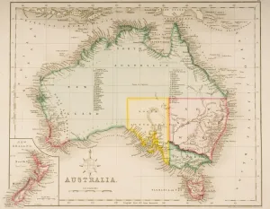
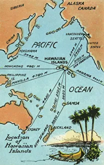
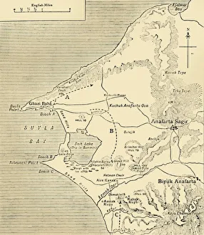
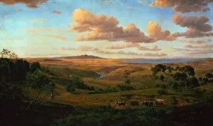
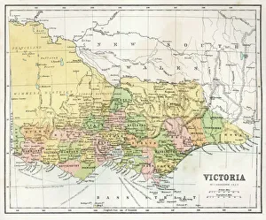
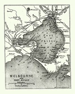
Maps of Australia Oceania are a collection of detailed maps that provide an overview of the geographical features and terrain of the region. The maps cover a wide range of topics, including physical features, political boundaries, population density, climate zones, and more. They also include information on major cities and towns as well as roads and transportation networks. They can available in both digital and print formats for easy access to anyone interested in exploring the region. With their comprehensive coverage and detailed information, Maps of Australia Oceania can be used for research or planning trips to the area.
+
Our beautiful pictures are available as Framed Prints, Photos, Wall Art and Photo Gifts
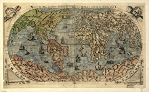
The Maps of Australia Oceania collection from Media Storehouse is a stunning array of wall art and framed prints that showcase the beauty and diversity of this region. Our collection features an extensive range of maps, including vintage maps, topographical maps, political maps, and satellite images. These high-quality prints are available in a variety of sizes to suit any space or decor style. One standout feature of the Maps of Australia Oceania collection is its attention to detail. Each map is carefully selected for its accuracy and visual appeal, making it an ideal choice for both educational purposes and home decor. Whether you're looking to add some color to your living room or want to create a focal point in your office, these prints are sure to impress. The Maps of Australia Oceania collection offers something for everyone with its vast selection and exceptional quality. It's no wonder that these prints have become a popular choice among art lovers and geography enthusiasts alike.
+
What are Maps of Australia Oceania art prints?
Maps of Australia Oceania art prints are a collection of high-quality, visually stunning maps that showcase the geography and topography of the region. These prints are perfect for anyone who wants to add a touch of sophistication and style to their home or office decor. They feature detailed depictions of the landmasses, waterways, cities, towns, and other important landmarks in Australia and Oceania. These art prints come in various sizes and formats such as canvas prints, framed prints, poster prints among others. They are printed on premium quality paper using state-of-the-art printing technology that ensures vibrant colors and sharp details. The Maps of Australia Oceania art print collection is ideal for travel enthusiasts who want to commemorate their travels or anyone looking to decorate their space with unique wall art. These maps offer an excellent way to explore the beauty and diversity of this fascinating part of the world while adding a touch of elegance to your living space.
+
What Maps of Australia Oceania art prints can I buy from Media Storehouse?
We offer a wide range of Maps of Australia Oceania art prints that are perfect for those who love geography and history. You can choose from a variety of maps, including antique maps, topographical maps, political maps, and satellite images. These art prints showcase the beauty and diversity of Australia Oceania's landscapes and provide an insight into its rich cultural heritage. Whether you're looking for a map to decorate your home or office or as a gift for someone special, we have something to suit every taste and budget. The art prints are available in different sizes and formats, such as canvas prints, framed prints, metal prints, or photographic paper. Some popular choices include vintage-style world maps with intricate details of the region's flora and fauna; colorful political maps highlighting each country's borders; detailed topographic maps showing mountain ranges, rivers, lakes; satellite images capturing stunning aerial views of cities like Sydney or Auckland. Overall We provide an extensive collection that will satisfy any cartography enthusiast.
+
How do I buy Maps of Australia Oceania art prints?
To buy Maps of Australia Oceania art prints from Media Storehouse, you can browse our collection online and select the print that catches your eye. Once you have found the perfect piece, simply add it to your cart and proceed to checkout. During the checkout process, you will be prompted to enter your shipping and payment information. After completing these steps, your order will be processed and shipped directly to you. We offer a wide variety of maps of Australia Oceania art prints in different sizes and styles, so there is something for everyone's taste. Whether you are looking for vintage or modern designs, colorful or monochromatic options, they have it all. Their high-quality printing ensures that each map looks stunning on any wall in your home or office. With easy ordering and fast delivery times available worldwide, buying Maps of Australia Oceania art prints from Media Storehouse is a hassle-free experience that will bring joy to any space.
+
How much do Maps of Australia Oceania art prints cost?
We offer a wide range of Maps of Australia Oceania art prints that vary in price depending on the size and type of print. Our collection includes vintage maps, contemporary designs, and artistic interpretations of the region. We strive to provide high-quality prints at affordable prices so that everyone can enjoy beautiful artwork in their homes or offices. Our selection includes various sizes ranging from small to large prints suitable for any space. We also offer different types of paper finishes such as matte, gloss, or satin to suit your preferences. Whether you're looking for a gift or something to enhance your decor, our Maps of Australia Oceania art prints are an excellent choice. Please note that prices may vary depending on the specific print you choose and other factors such as framing options. However, we aim to keep our prices competitive while maintaining quality standards across all products offered through Media Storehouse.
+
How will my Maps of Australia Oceania art prints be delivered to me?
We take great care in delivering your Maps of Australia Oceania art prints to you. We use high-quality packaging materials to ensure that your artwork arrives safely and securely. Your print will be carefully rolled and placed into a sturdy cardboard tube for protection during transit. We work with trusted courier services to deliver your order directly to your doorstep. Once dispatched, you will receive an email notification with tracking information so that you can monitor the progress of your delivery. Our team is dedicated to providing excellent customer service, so if you have any questions or concerns about the delivery of your Maps of Australia Oceania art prints, please do not hesitate to contact us. We are always happy to help and ensure that our customers receive their orders in a timely manner and in perfect condition.