Home > North America > United States of America > New York > New York > Maps
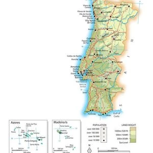
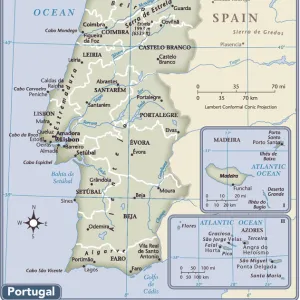
France Spain Portugal map 1856
![]()

Wall Art and Photo Gifts from Fine Art Storehouse
France Spain Portugal map 1856
Colton and Fitchs Modern School Geography by George W. Fitch - New York 1856
Unleash your creativity and transform your space into a visual masterpiece!
THEPALMER
Media ID 13668739
© Roberto A Sanchez
European Union Mediterranean Sea Portugal Western Europe Retro Styled
FEATURES IN THESE COLLECTIONS
> Fine Art Storehouse
> The Magical World of Illustration
> Palmer Illustrated Collection
> Fine Art Storehouse
> Map
> Historical Maps
> Maps and Charts
> Early Maps
> Maps and Charts
> Spain
> Maps and Charts
> World
> North America
> United States of America
> New York
> New York
> Maps
EDITORS COMMENTS
This print takes us back in time to the year 1856, when cartography was a meticulous art form. The map showcased here is titled "France Spain Portugal map 1856" and it originates from the renowned book "Colton and Fitch's Modern School Geography" by George W. Fitch, published in New York during that era. The retro styling of this antique piece transports us to an era long gone, where physical geography played a crucial role in understanding the world. The intricate details of France, Spain, and Portugal are beautifully illustrated on this vertical map, capturing the essence of Western Europe. As we gaze upon this historical artifact, our eyes wander across the borders of these three countries nestled along the Mediterranean Sea. It serves as a reminder of their rich cultural heritage and interconnected histories within Europe. "The Palmer" who has brought forth this remarkable print through Fine Art Storehouse, allows us to appreciate not only its aesthetic value but also its educational significance. This artwork invites us to explore an age-old representation of geographical boundaries while igniting curiosity about how these nations have evolved over time. Whether you are an enthusiast for vintage maps or simply captivated by European history, this stunning illustration offers a unique glimpse into the past that will surely enrich any space it adorns.
MADE IN THE USA
Safe Shipping with 30 Day Money Back Guarantee
FREE PERSONALISATION*
We are proud to offer a range of customisation features including Personalised Captions, Color Filters and Picture Zoom Tools
SECURE PAYMENTS
We happily accept a wide range of payment options so you can pay for the things you need in the way that is most convenient for you
* Options may vary by product and licensing agreement. Zoomed Pictures can be adjusted in the Cart.


