
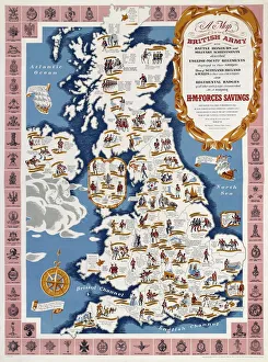
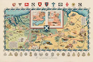
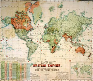
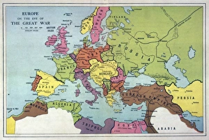
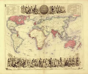
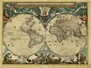
World Collection
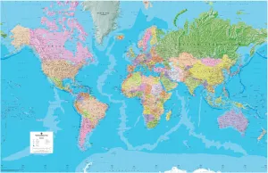
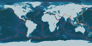
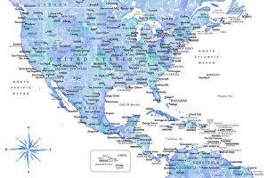
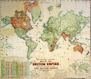
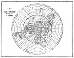
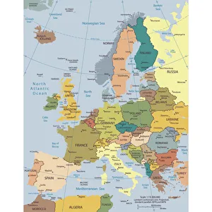
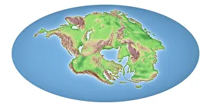
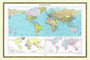
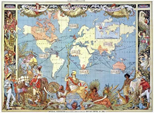
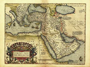
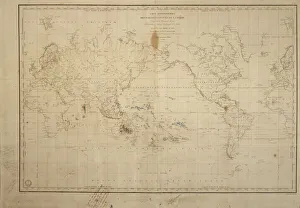
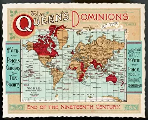
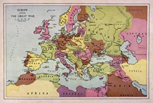
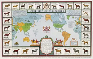
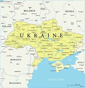
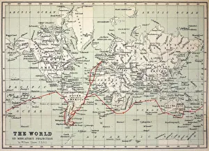
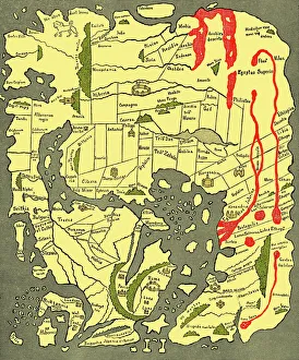
World maps and charts are visual representations of the Earth's surface, showing geographical features such as continents, oceans, countries, cities
Choose a picture from our World Collection for your Wall Art and Photo Gifts
6,921 items


All Professionally Made to Order for Quick Shipping
-
World Collection
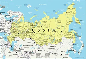
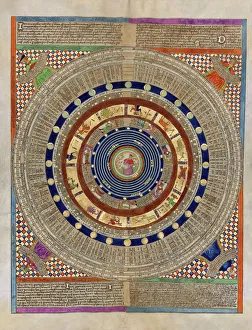
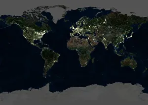
World maps and charts are visual representations of the Earth's surface, showing geographical features such as continents, oceans, countries, cities, rivers and mountains. They have been used for centuries to aid navigation, exploration and education. Maps can be created using various techniques including satellite imagery or hand-drawn illustrations. Charts are graphical representations of data that help people understand complex information in a simplified manner. Examples include population growth rates or economic indicators by country. Both maps and charts are important tools for understanding our world and making informed decisions about global issues such as climate change or international trade policies.
+
Our beautiful Wall Art and Photo Gifts include Framed Prints, Photo Prints, Poster Prints, Canvas Prints, Jigsaw Puzzles, Metal Prints and so much more
The World collection from Media Storehouse is a stunning array of wall art and framed prints that showcase the beauty and diversity of our planet. Featuring an extensive range of maps, charts, and diagrams, our collection offers something for everyone – from vintage world maps to modern satellite imagery. Each print is carefully crafted using high-quality materials to ensure that it looks great in any setting. Whether you're looking for a piece to decorate your home or office, or simply want to add some visual interest to your space, the World collection has something for you. With its wide variety of styles and subjects, our collection is perfect for anyone who loves travel, geography, history or science. So why not explore the world from the comfort of your own home with one of these beautiful prints?
+
What are World (Maps and Charts) art prints?
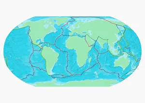
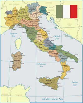
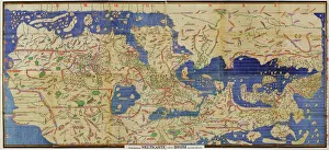
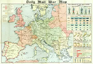
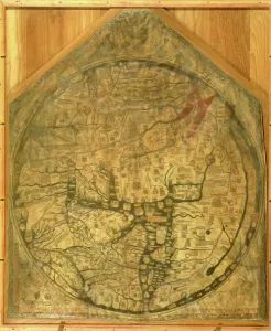
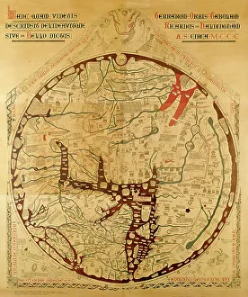
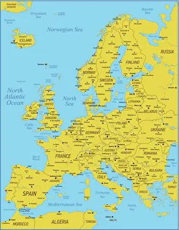
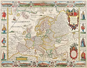
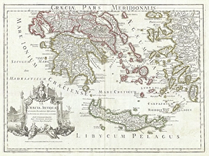
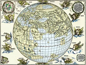
World maps and charts art prints are high-quality reproductions of historical or contemporary maps and charts that depict the geography, topography, political boundaries, and other features of different regions of the world. These prints can be used for decorative purposes in homes, offices, schools, museums, libraries or any other setting where a visual representation of global locations is needed. World maps and charts art prints come in various sizes to suit different spaces and preferences. They may feature antique designs from centuries ago or modern interpretations with updated information on countries' borders and names. Some popular styles include vintage world maps with sepia tones or muted colors; colorful political maps highlighting specific regions such as Europe or Africa; nautical charts showing ocean depths and currents; or satellite images displaying terrain details. Whether you're a history buff looking to decorate your study room with an old-world map print or a traveler seeking inspiration for your next adventure destination, World Maps & Charts Art Prints offer something for everyone's taste.
+
What World (Maps and Charts) art prints can I buy from Media Storehouse?
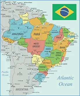
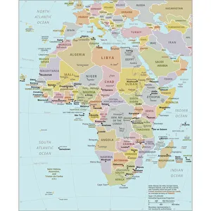
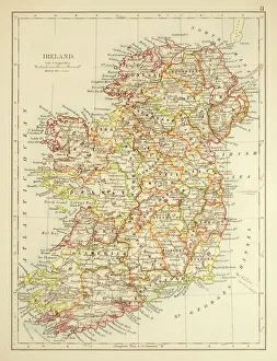
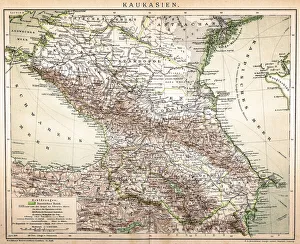
We offer a wide range of World Maps and Charts art prints that are perfect for decorating your home or office. You can choose from vintage maps, antique charts, modern world maps, satellite images of the earth, and many more options. These art prints come in various sizes to suit your needs and preferences. The collection includes detailed maps of different countries and continents such as Europe, Africa, Asia, North America, South America among others. The prints also feature famous landmarks like the Eiffel Tower in Paris or the Statue of Liberty in New York City. Moreover, you can find educational charts on topics like geography or astronomy that are ideal for classrooms. Our World Maps and Charts art prints are printed using high-quality materials to ensure they last a long time without fading or losing their vibrancy. They make great gifts for anyone who loves travel or wants to learn more about our planet's geography.
+
How do I buy World (Maps and Charts) art prints?
To purchase World art prints from Media Storehouse, you can browse our extensive collection of high-quality images online. Once you have found the print that you would like to buy, simply add it to your cart and proceed to checkout. At this point, you will be prompted to enter your shipping and payment information. We offer a variety of sizes for their art prints, so be sure to select the size that best fits your needs. You may also have the option to choose between different paper types or finishes. Once your order has been processed, Media Storehouse will carefully package your print and ship it directly to your doorstep. Whether you are looking for a unique piece of wall decor or a thoughtful gift for someone special, World art prints from Media Storehouse are an excellent choice for anyone who loves geography or history.
+
How much do World (Maps and Charts) art prints cost?
We offer a wide range of World Maps and Charts art prints that are available at varying prices. The cost of our World Maps and Charts art prints depends on the size, quality, and type of print you choose. We have different options such as canvas prints, framed prints, photographic prints, and poster prints. Our World Maps and Charts art prints come in various sizes ranging from small to large formats. The price also varies depending on whether you want a black-and-white or colored print. Our collection features vintage maps as well as contemporary designs that cater to different tastes. We take pride in providing high-quality products at affordable prices without compromising on the quality of our artwork. You can be sure that every piece is carefully crafted with attention to detail using premium materials. The cost of our World Maps and Charts art prints is reasonable considering their quality and uniqueness. Whether you're looking for a statement piece for your home or office space or an educational tool for your classroom, we have something for everyone's budget.
+
How will my World (Maps and Charts) art prints be delivered to me?
We take great care in delivering your World art prints to you. We use a trusted courier service to ensure that your order arrives safely and on time. Your print will be carefully packaged in protective materials to prevent any damage during transit. We offer a range of delivery options for our customers, including standard shipping and express delivery for those who need their order sooner. Once your order has been dispatched, you will receive an email with tracking information so that you can keep track of its progress. Our team is committed to providing excellent customer service, so if you have any questions or concerns about the delivery of your World art prints, please do not hesitate to get in touch with us. We are always happy to help.