
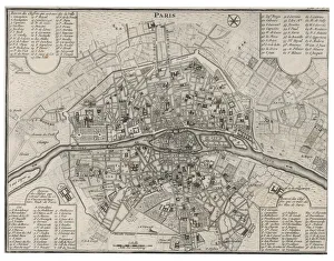
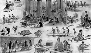
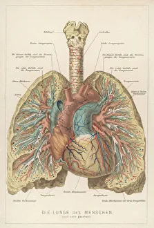
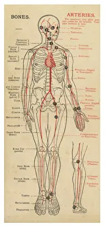
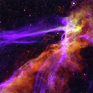
Detailed art pieces Cushion Collection
Discover the beauty of our Detailed Art Pieces collection from Media Storehouse. These exquisite cushions showcase stunning photorealistic artworks that bring the essence of fine art into your home. Each piece is meticulously crafted to capture every detail and texture, transforming your living space into a personal gallery. Immerse yourself in the world of art with these elegant and sophisticated cushions, perfect for adding a touch of elegance and sophistication to any room.
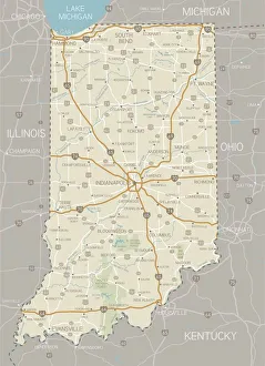
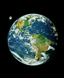
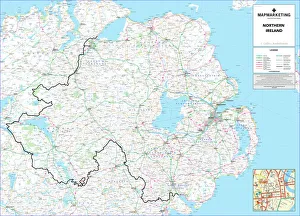
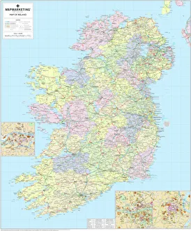
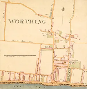
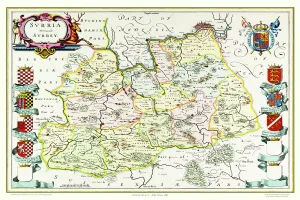
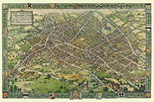
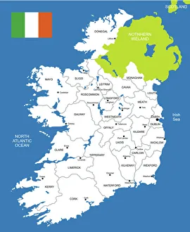
Choose a picture from our collection for your Wall Art and Photo Gifts


All Professionally Made to Order for Quick Shipping
Why Choose Us?
How do I place an order?
-
Find your image: Use our search box or browse our online photo Collections to find the image you want.
-
Choose your print format: Select your desired product and add it to your cart.
-
Enter your details: If you're a returning customer, simply enter your email address and password, and we'll fill in your billing and shipping address details. All personal details are held securely and are fully GDPR compliant. As standard, we remove all Personally Identifiable Information after 12 months.
-
Pay for your purchase: We use state-of-the-art security for online shopping and do not have access to your card details.
-
Sit back and relax: We'll email you confirmation of your order and when it's dispatched. Registered customers can also track orders in the 'My Account' area.