Premium Framed Print > Arts > Artists > O > Oceanic Oceanic
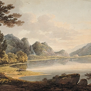
Premium Framed Print : Chart of oceanic section, Madeira, Portugal to St. Vincent


![]()
Framed Photos From Mary Evans Picture Library
Chart of oceanic section, Madeira, Portugal to St. Vincent
A photograph taken during the voyage of H.M.S. Challenger (1872-1876) funded by the British Government for scientific purposes. The expedition is believed to have been the first to carry an official photographer
Mary Evans Picture Library makes available wonderful images created for people to enjoy over the centuries
Media ID 8608980
© Mary Evans Picture Library 2015 - https://copyrighthub.org/s0/hub1/creation/maryevans/MaryEvansPictureID/10714521
Adventure Cape Cape Verde Islands Caribbean Challenger Chart Depth Diagram Discovery Exploration Floor Graph Hms Challenger Hydrography Madeira Maritime Measurement Nautical Oceanic Oceanography
14"x18" Premium Frame
Contemporary style Premium Wooden Frame with 8"x12" Print. Complete with 2" White Mat and 1.25" thick MDF frame. Printed on 260 gsm premium paper. Glazed with shatter proof UV coated acrylic glass. Backing is paper covered backing with rubber bumpers. Supplied ready to hang with a pre-installed sawtooth/wire hanger. Care Instructions: Spot clean with a damp cloth. Securely packaged in a clear plastic bag and envelope in a reinforced cardboard shipper
FSC Real Wood Frame and Double Mounted with White Conservation Mountboard - Professionally Made and Ready to Hang
Estimated Image Size (if not cropped) is 30.4cm x 20.3cm (12" x 8")
Estimated Product Size is 45.8cm x 35.6cm (18" x 14")
These are individually made so all sizes are approximate
Artwork printed orientated as per the preview above, with landscape (horizontal) orientation to match the source image.
FEATURES IN THESE COLLECTIONS
> Africa
> Cape Verde
> Related Images
> Arts
> Artists
> O
> Oceanic Oceanic
> Europe
> Portugal
> Related Images
> Maps and Charts
> Related Images
> Services
> Royal Navy
EDITORS COMMENTS
This photograph showcases a chart or graph depicting the oceanic section from Madeira, Portugal to St. Vincent, taken during the historic voyage of H.M.S. Challenger (1872-1876). Funded by the British Government for scientific purposes, the Challenger expedition is renowned as the first to carry an official photographer on board, documenting the groundbreaking exploration of the world's oceans. The chart illustrates the depth measurements and hydrographic data collected during the expedition's journey through the Atlantic Ocean, passing by the Madeira Islands off the coast of Europe and continuing towards the Caribbean's St. Vincent. The intricate details of the chart represent the significant strides made in oceanography and marine exploration during this era. The image evokes a sense of adventure and discovery, as the Challenger set sail with a team of scientists, sailors, and the pioneering photographer, capturing the world's oceans in a new light. The nautical chart serves as a testament to the expedition's invaluable contributions to maritime and scientific knowledge, providing a glimpse into the rich history of oceanic exploration. The photograph's historical significance lies in its representation of the Challenger's voyage, which revolutionized the understanding of the ocean floor and its diverse ecosystems. The chart's intricate details and precise measurements continue to inspire awe and fascination, offering a unique perspective on the vast and mysterious depths of the ocean.
MADE IN THE USA
Safe Shipping with 30 Day Money Back Guarantee
FREE PERSONALISATION*
We are proud to offer a range of customisation features including Personalised Captions, Color Filters and Picture Zoom Tools
SECURE PAYMENTS
We happily accept a wide range of payment options so you can pay for the things you need in the way that is most convenient for you
* Options may vary by product and licensing agreement. Zoomed Pictures can be adjusted in the Basket.