Poster Print > Europe > United Kingdom > Scotland > Maps
Poster Print : SC0128reduced


![]()
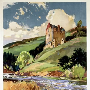
Poster Prints From Scottish Canals
SC0128reduced
Scottish Canals are in charge of the five canals in Scotland
Media ID 14786721
18x24 inch Poster Print
Poster prints are budget friendly enlarged prints in standard poster paper sizes. Printed on 150 gsm Matte Paper for a natural feel and supplied rolled in a tube. Great for framing and should last many years. To clean wipe with a microfiber, non-abrasive cloth or napkin. Our Archival Quality Photo Prints and Fine Art Paper Prints are printed on higher quality paper and the choice of which largely depends on your budget.
Poster prints are budget friendly enlarged prints in standard poster paper sizes (A0, A1, A2, A3 etc). Whilst poster paper is sometimes thinner and less durable than our other paper types, they are still ok for framing and should last many years. Our Archival Quality Photo Prints and Fine Art Paper Prints are printed on higher quality paper and the choice of which largely depends on your budget.
Estimated Product Size is 61.6cm x 46.3cm (24.3" x 18.2")
These are individually made so all sizes are approximate
Artwork printed orientated as per the preview above, with landscape (horizontal) orientation to match the source image.
FEATURES IN THESE COLLECTIONS
> Architecture
> Country
> Scotland
> Architecture
> Drawings
> Arts
> Photorealistic artworks
> Detailed art pieces
> Masterful detailing in art
> Europe
> France
> Canton
> Landes
> Europe
> United Kingdom
> Scotland
> Maps
> Europe
> United Kingdom
> Scotland
> Posters
> Europe
> United Kingdom
> Scotland
> Related Images
> Europe
> United Kingdom
> Scotland
> Rivers
> Maps and Charts
> Related Images
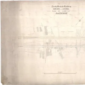
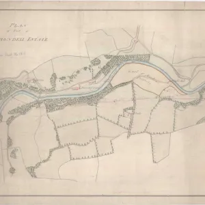
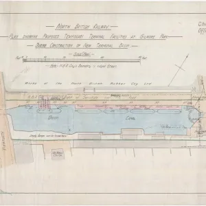
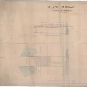
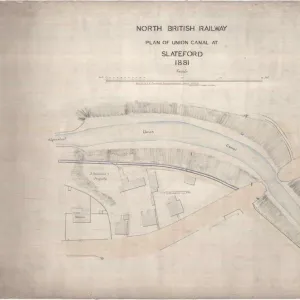
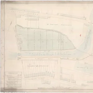
VISUAL DESCRIPTION
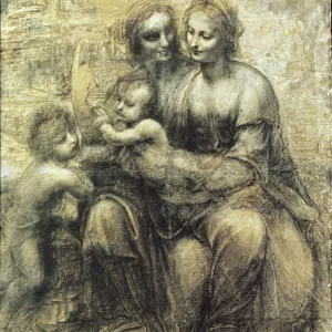
The image shows a large, detailed architectural or engineering drawing. It appears to be an old document, given the style of handwriting and the coloration of the paper. The plan includes text annotations and several sections with measurements, indicating that it might be a map or blueprint for a building project, land development, infrastructure work such as roads or canals, or possibly even fortifications. There are various blocks of text which seem to include titles and descriptions but they're not clearly legible in this resolution. There's also what looks like a river or waterway running through the center of the drawing with structures on either side. To provide more specific information about its content and purpose would require higher-resolution imagery or additional context about where this document comes from and what it pertains to.
MADE IN THE USA
Safe Shipping with 30 Day Money Back Guarantee
FREE PERSONALISATION*
We are proud to offer a range of customisation features including Personalised Captions, Color Filters and Picture Zoom Tools
SECURE PAYMENTS
We happily accept a wide range of payment options so you can pay for the things you need in the way that is most convenient for you
* Options may vary by product and licensing agreement. Zoomed Pictures can be adjusted in the Basket.