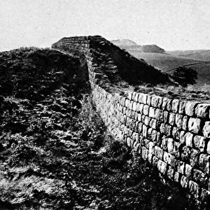
Pillow > Europe > United Kingdom > England > London > Sights > Mile End Park
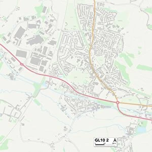
Pillow : Horsham RH13 0 Map


![]()
Home Decor From Map Marketing
Horsham RH13 0 Map
Postcode Sector Map of Horsham RH13 0
Media ID 19976498
Bramble Close Brick Lane Chapel Road Cross Lane Farm Close Greenfield Road Hayes Lane Horsham King Edward Road Lovers Lane Lowfield Road Lyons Road Mitchell Gardens Park Road Park Street Salisbury Road Smugglers Lane Smugglers Way Spring Lane Station Road Sycamore Rise Tannery Close The Avenue The Street Tower Close Tower Hill West Way Willow Place Woodland Avenue Worthing Road Christs Hospital Yew Trees
18"x18" (46x46cm) Pillow
18"x18" (46x46cm) Faux Suede Pillow with a plush soft feel. Your choice of image fills the front, with a stone colored faux suede back. Flat sewn concealed white zip.
Accessorise your space with decorative, soft pillows
Estimated Product Size is 45.7cm x 45.7cm (18" x 18")
These are individually made so all sizes are approximate
Artwork printed orientated as per the preview above, with landscape (horizontal) or portrait (vertical) orientation to match the source image.
FEATURES IN THESE COLLECTIONS
> Map Marketing
> Postcode Sector Maps
> RH - Redhill
> Animals
> Birds
> Passerines
> Finches
> Brambling
> Animals
> Fishes
> B
> Brook Trout
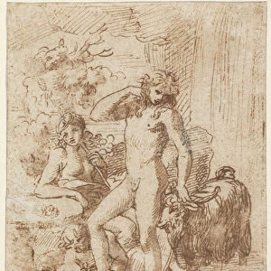
> Arts
> Artists
> C
> Edward Cooper
> Europe
> United Kingdom
> England
> London
> Sights
> Mile End Park
> Maps and Charts
> Related Images
MADE IN THE USA
Safe Shipping with 30 Day Money Back Guarantee
FREE PERSONALISATION*
We are proud to offer a range of customisation features including Personalised Captions, Color Filters and Picture Zoom Tools
SECURE PAYMENTS
We happily accept a wide range of payment options so you can pay for the things you need in the way that is most convenient for you
* Options may vary by product and licensing agreement. Zoomed Pictures can be adjusted in the Basket.