Photographic Print > Europe > France > Maps
Photographic Print : Historical map of France (colour litho)
")

![]()
Photo Prints From Fine Art Finder
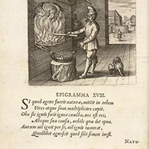
Historical map of France (colour litho)
3622142 Historical map of France (colour litho) by Beuzon, Joseph (1864-1940); Private Collection; (add.info.: Historical map of France. Illustration for Histoire de France by A Aymard with illustrations by J and L Beuzon (Hachette, 1933).); © Look and Learn
Media ID 25151948
© Look and Learn / Bridgeman Images
10"x8" Photo Print
Step back in time with our exquisite Historical Map of France print from Media Storehouse. This stunning, color lithograph by Joseph Beuzon (1864-1940) showcases intricate details of France's historical geography. Originally from a private collection, this fine art piece is now available to adorn your walls through Media Storehouse's high-quality reproductions. Bring history into your home and transport yourself on a journey through time with this beautiful and captivating print from Fine Art Finder by Bridgeman Images (3622142).
Photo prints are produced on Kodak professional photo paper resulting in timeless and breath-taking prints which are also ideal for framing. The colors produced are rich and vivid, with accurate blacks and pristine whites, resulting in prints that are truly timeless and magnificent. Whether you're looking to display your prints in your home, office, or gallery, our range of photographic prints are sure to impress. Dimensions refers to the size of the paper in inches.
Our Photo Prints are in a large range of sizes and are printed on Archival Quality Paper for excellent colour reproduction and longevity. They are ideal for framing (our Framed Prints use these) at a reasonable cost. Alternatives include cheaper Poster Prints and higher quality Fine Art Paper, the choice of which is largely dependant on your budget.
Estimated Product Size is 20.3cm x 25.4cm (8" x 10")
These are individually made so all sizes are approximate
Artwork printed orientated as per the preview above, with landscape (horizontal) or portrait (vertical) orientation to match the source image.
FEATURES IN THESE COLLECTIONS
> Maps and Charts
> Early Maps
> Maps and Charts
> Related Images
EDITORS COMMENTS
This print showcases a mesmerizing "Historical map of France (colour litho)" by Joseph Beuzon. The intricate details and vibrant colors bring to life the rich history and cultural heritage of France. The map, part of a private collection, is an illustration for the renowned book "Histoire de France" by A. Aymard with illustrations by J and L Beuzon, published in 1933 by Hachette. It serves as a visual guide through the fascinating past of this enchanting country. Every border and region is meticulously depicted on this historical map, providing a glimpse into the diverse landscapes that have shaped French history over centuries. From its mainland to its overseas departments and territories, every corner tells a story. As you explore this artwork, you can't help but be transported back in time, imagining the events that unfolded within these borders – from ancient Gaul to medieval castles and Renaissance palaces. This piece truly encapsulates the essence of French culture. With its educational value and artistic beauty combined, this print is not only visually stunning but also serves as an invaluable resource for historians or anyone interested in exploring the rich tapestry of French history.
MADE IN THE USA
Safe Shipping with 30 Day Money Back Guarantee
FREE PERSONALISATION*
We are proud to offer a range of customisation features including Personalised Captions, Color Filters and Picture Zoom Tools
SECURE PAYMENTS
We happily accept a wide range of payment options so you can pay for the things you need in the way that is most convenient for you
* Options may vary by product and licensing agreement. Zoomed Pictures can be adjusted in the Basket.