Home > Europe > United Kingdom > England > Maps
MAP / MIDDLESEX MID-18C

![]()
Wall Art and Photo Gifts from Mary Evans Picture Library
MAP / MIDDLESEX MID-18C
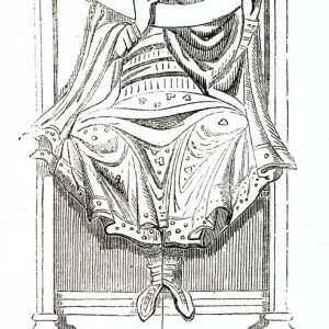
Map of Middlesex Date: mid-18th century
Mary Evans Picture Library makes available wonderful images created for people to enjoy over the centuries
Media ID 20153853
© Bubblepunk
FEATURES IN THESE COLLECTIONS
> Europe
> United Kingdom
> England
> Maps
> Europe
> United Kingdom
> England
> Middlesex
> Related Images
> Maps and Charts
> Related Images
> Mary Evans Prints Online
> New Images July 2020
EDITORS COMMENTS
This exquisite map print, titled "Middlesex," dates back to the mid-18th century and offers a fascinating glimpse into the geography and topography of Middlesex, England during that era. The map is rich in detail, featuring not only the county's natural features such as rivers, forests, and hills, but also the numerous villages, towns, and parishes that dotted the landscape. Middlesex, located in the south east of England, was an important region during the 18th century, with London, the country's bustling capital city, serving as its northern boundary. This map provides valuable insight into the layout of the area surrounding London, including the Thames River and its many tributaries, which played a crucial role in the transportation and commerce of the time. The map is adorned with intricate cartouches and decorative elements, reflecting the artistic sensibilities of the period. The use of vivid colors and careful attention to detail adds to the map's aesthetic appeal, making it a beautiful addition to any historical collection or decorative display. This map also provides valuable historical context for students of English history, offering a glimpse into the layout and geography of Middlesex during a time of significant social, political, and economic change. The map's intricate details and decorative elements make it a fascinating artifact of the past, transporting us back to the mid-18th century and offering a window into the world of Middlesex during that time.
MADE IN THE USA
Safe Shipping with 30 Day Money Back Guarantee
FREE PERSONALISATION*
We are proud to offer a range of customisation features including Personalised Captions, Color Filters and Picture Zoom Tools
SECURE PAYMENTS
We happily accept a wide range of payment options so you can pay for the things you need in the way that is most convenient for you
* Options may vary by product and licensing agreement. Zoomed Pictures can be adjusted in the Cart.