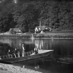
Home > Europe > United Kingdom > England > Buckinghamshire > Taplow
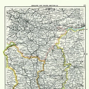
South Buckinghamshire SL6 0 Map

![]()
Wall Art and Photo Gifts from Map Marketing
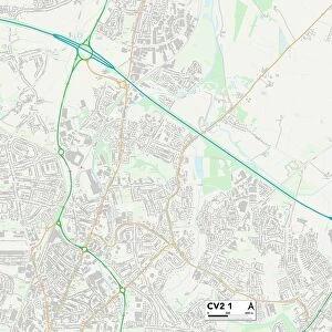
South Buckinghamshire SL6 0 Map
Postcode Sector Map of South Buckinghamshire SL6 0
Media ID 19978862
Approach Road Bath Road Berry Hill Boundary Road Cavendish Close Conway Road Devonshire Gardens Ellington Road Fairview Road Farm Road Fern Drive Glebe Close Green Close Green Drive Harcourt Close Harcourt Road High Street Hill Farm Road Hunts Lane Institute Road Jubilee Lane Marsh Lane Maypole Road Meadow Way Mill Lane Rectory Road River Road Rutland Close South Buckinghamshire Stafford Close Station Road Abbey Gate Taplow
FEATURES IN THESE COLLECTIONS
> Arts
> Landscape paintings
> Waterfall and river artworks
> River artworks
> Arts
> Portraits
> Pop art gallery
> Street art portraits
> Europe
> United Kingdom
> England
> Buckinghamshire
> Related Images
> Europe
> United Kingdom
> England
> Buckinghamshire
> Taplow
> Europe
> United Kingdom
> England
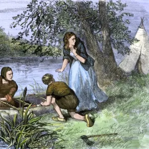
> Rutland
> Related Images
> Europe
> United Kingdom
> Scotland
> Aberdeenshire
> Huntly
> Map Marketing
> Postcode Sector Maps
> SL - Slough
> Maps and Charts
> Related Images
MADE IN THE USA
Safe Shipping with 30 Day Money Back Guarantee
FREE PERSONALISATION*
We are proud to offer a range of customisation features including Personalised Captions, Color Filters and Picture Zoom Tools
SECURE PAYMENTS
We happily accept a wide range of payment options so you can pay for the things you need in the way that is most convenient for you
* Options may vary by product and licensing agreement. Zoomed Pictures can be adjusted in the Cart.