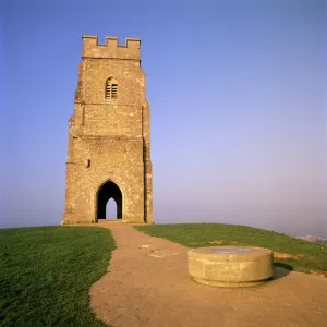
Home > Architecture > Towers > Churches
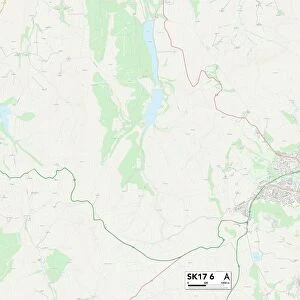
Derbyshire Dales S32 1 Map

![]()
Wall Art and Photo Gifts from Map Marketing
Derbyshire Dales S32 1 Map
Postcode Sector Map of Derbyshire Dales S32 1
Media ID 19980488
Back Lane Barnfield Drive Baulk Lane Castleton Road Church Bank Cliffe Lane Crossland Road Dale Crescent Derbyshire Dales Gatehouse Lane Heather Lane Hill Lane Long Causeway Main Road Mill Lane Moorland Road Roslyn Road School Lane Sheffield Road Station Approach Station Road The Crofts The Dale Abney Hathersage Offerton
FEATURES IN THESE COLLECTIONS
> Architecture
> Towers
> Churches
> Europe
> United Kingdom
> England
> Derbyshire
> Related Images
> Map Marketing
> Postcode Sector Maps
> S - Sheffield
> Maps and Charts
> Related Images
MADE IN THE USA
Safe Shipping with 30 Day Money Back Guarantee
FREE PERSONALISATION*
We are proud to offer a range of customisation features including Personalised Captions, Color Filters and Picture Zoom Tools
SECURE PAYMENTS
We happily accept a wide range of payment options so you can pay for the things you need in the way that is most convenient for you
* Options may vary by product and licensing agreement. Zoomed Pictures can be adjusted in the Cart.