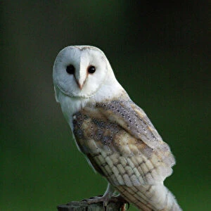
Home > Animals > Birds > Accipitriformes > Accipitridae > Common Kestrel
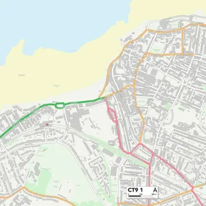
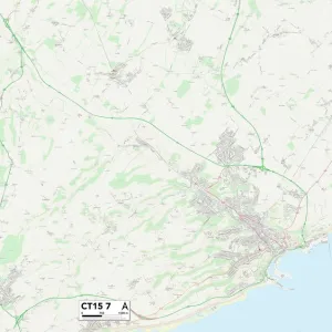
Kent CT16 3 Map

![]()
Wall Art and Photo Gifts from Map Marketing
Kent CT16 3 Map
Postcode Sector Map of Kent CT16 3
Media ID 19967488
Abbey Road Alison Close Beechwood Close Bridleway Brookside Burgess Close Castle Drive Chapel Road Chestnut Close Church Hill Cranleigh Drive Downside Road Eagle Drive Egerton Road Forge Lane Green Lane Harvest Road High Street Honeywood Close Kedleston Road Kent Kestrel Grove Laburnum Close London Road Lower Road Loxwood Close Malvern Road Manley Close Manor Gardens Mayfield Road Merlin Avenue Mill Lane Mill Street Newlands Nursery Lane Orchard Close Osprey Gardens Palmerston Road Park Road Richmond Way Riverside Rye Lane Sandwich Road Temple Close The Acre The Avenue The Drove Wellington Road Whitfield Woodside Close Hobby Drive The Pier
FEATURES IN THESE COLLECTIONS
> Animals
> Birds
> Accipitriformes
> Accipitridae
> Common Kestrel
> Animals
> Birds
> Accipitriformes
> Accipitridae
> Red Goshawk
> Animals
> Birds
> Accipitriformes
> Falcons
> Common Kestrel
> Animals
> Birds
> Owls
> Barn Owl
> Animals
> Birds
> Owls
> Common Barn Owl
> Animals
> Birds
> Owls
> Eagle Owl
> Animals
> Birds
> Owls
> Related Images
> Arts
> Artists
> R
> George Richmond
> Arts
> Portraits
> Pop art gallery
> Street art portraits
> Europe
> United Kingdom
> England
> Kent
> Alkham
> Map Marketing
> Postcode Sector Maps
> CT - Canterbury
MADE IN THE USA
Safe Shipping with 30 Day Money Back Guarantee
FREE PERSONALISATION*
We are proud to offer a range of customisation features including Personalised Captions, Color Filters and Picture Zoom Tools
SECURE PAYMENTS
We happily accept a wide range of payment options so you can pay for the things you need in the way that is most convenient for you
* Options may vary by product and licensing agreement. Zoomed Pictures can be adjusted in the Cart.