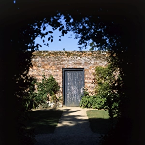
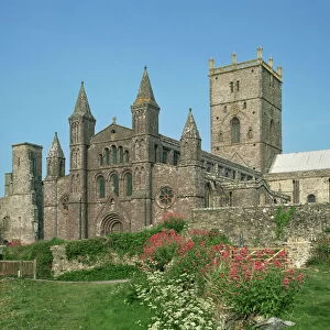
Home > Europe > United Kingdom > Wales > Pembrokeshire > St Davids
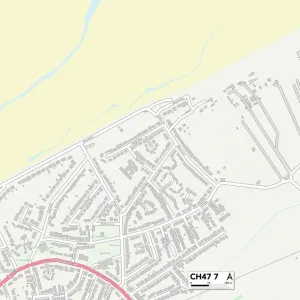
Wirral CH62 0 Map

![]()
Wall Art and Photo Gifts from Map Marketing
Wirral CH62 0 Map
Postcode Sector Map of Wirral CH62 0
Media ID 19967632
Ch62 Chapel View Church Lane College Way Cranford Close Ferry Road Lock Road Mayfield Drive Parsons Close Seaview Avenue St Johns Road Stanley Lane Wirral Wyndham Close Eastham
FEATURES IN THESE COLLECTIONS
> Animals
> Mammals
> Muridae
> Heath Mouse
> Arts
> Artists
> W
> John Wood
> Europe
> United Kingdom
> Wales
> Pembrokeshire
> St Davids
> Map Marketing
> Postcode Sector Maps
> CH - Chester
> Maps and Charts
> Related Images
MADE IN THE USA
Safe Shipping with 30 Day Money Back Guarantee
FREE PERSONALISATION*
We are proud to offer a range of customisation features including Personalised Captions, Color Filters and Picture Zoom Tools
SECURE PAYMENTS
We happily accept a wide range of payment options so you can pay for the things you need in the way that is most convenient for you
* Options may vary by product and licensing agreement. Zoomed Pictures can be adjusted in the Cart.