
Home > Maps and Charts > Americas
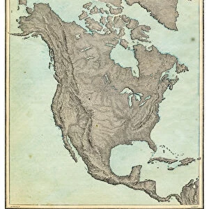
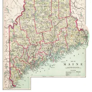
Report on the new map of Maryland, 1836, 19th century engraving, US, America

Framed Photos
Photo Prints
Jigsaw Puzzles
Poster Prints
Fine Art Prints
Metal Prints
Home Decor
![]()
Wall Art and Photo Gifts from Liszt Collection
Report on the new map of Maryland, 1836, 19th century engraving, US, America
Liszt Collection of nineteenth-century engravings and images to browse and enjoy
Media ID 12807787
© Quint Lox Limited
MADE IN THE USA
Safe Shipping with 30 Day Money Back Guarantee
FREE PERSONALISATION*
We are proud to offer a range of customisation features including Personalised Captions, Color Filters and Picture Zoom Tools
SECURE PAYMENTS
We happily accept a wide range of payment options so you can pay for the things you need in the way that is most convenient for you
* Options may vary by product and licensing agreement. Zoomed Pictures can be adjusted in the Cart.
Beautiful Photo Prints and Gifts
Professionally Printed
Photo Prints are in stock
Professional quality finish
Made with high-grade materials
Carefully packed to aid safe arrival
Related Images


+
Shipping
+
Choices
+
Reviews
+