Home > Arts > Artists > B > Willem Blaeu
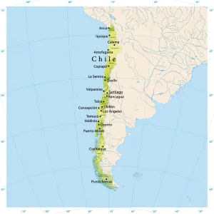
Map of the Strait of Magellan, 1635-1664. Creator: Willem Blaeu

![]()
Wall Art and Photo Gifts from Heritage Images
Map of the Strait of Magellan, 1635-1664. Creator: Willem Blaeu
Map of the Strait of Magellan, 1635-1664. At the top right a coat of arms
Heritage Images features heritage image collections
Media ID 36340910
© Heritage Art/Heritage Images
Blazon Chile South America Coat Of Arms Heraldic Heraldry Marine Maritime Shield Of Arms Strait Willem Blaeu Blaeu Willem Janszoon Constantijn Huygens Strait Of Magellan Watercolour Paint Willem Jansz Blaeu Willem Janszoon Blaeu
FEATURES IN THESE COLLECTIONS
> Arts
> Art Movements
> Baroque
> Arts
> Artists
> B
> Willem Blaeu
> Arts
> Realistic drawings
> Figure drawing
> Fine art portraits
> Europe
> Netherlands
> Maps
> Europe
> Netherlands
> Posters
> Europe
> Netherlands
> Related Images
> Maps and Charts
> Early Maps
> Maps and Charts
> Netherlands
> Maps and Charts
> Willem Janszoon Blaeu
> South America
> Chile
> Maps
EDITORS COMMENTS
This stunning 17th-century map print, titled "Map of the Strait of Magellan," is a testament to the remarkable cartographic achievements of Dutch cartographer Willem Blaeu during the Baroque era. Created between 1635 and 1664, the map showcases the intricate details of the strait, a vital waterway connecting the Atlantic and Pacific Oceans, located in the southernmost tip of South America. The map is adorned with a coat of arms at the top right corner, a symbol of the Dutch maritime tradition and the exploration spirit of the Low Countries. The heraldic design, featuring figures and shields, is a common element in maps of the time, reflecting the importance of heraldry in European culture. Willem Blaeu, a renowned cartographer and publisher, produced this map during the height of the Dutch Golden Age. He collaborated with notable figures such as Constantijn Huygens and his son Constantijn Huygens the Younger, contributing to the advancement of geographical knowledge in Europe. The map is characterized by its vibrant watercolour paint, adding depth and texture to the intricate depiction of the strait and its surrounding geographical features. The inclusion of ships and marine transportation elements further emphasizes the map's historical significance, reflecting the importance of maritime trade and exploration during this period. This Map of the Strait of Magellan, now a cherished piece of heritage art, is a captivating example of the artistic and cartographic achievements of the 17th century. It can be found in the Rijksmuseum, the Dutch national museum in Amsterdam, a testament to its historical and cultural importance.
MADE IN THE USA
Safe Shipping with 30 Day Money Back Guarantee
FREE PERSONALISATION*
We are proud to offer a range of customisation features including Personalised Captions, Color Filters and Picture Zoom Tools
SECURE PAYMENTS
We happily accept a wide range of payment options so you can pay for the things you need in the way that is most convenient for you
* Options may vary by product and licensing agreement. Zoomed Pictures can be adjusted in the Cart.