Fraud Blocker Skip to main content

St Peters Close Collection

Discover the charm of St. Peter's Close, a hidden gem tucked away in various corners of England

Background imageSt Peters Close Collection: Tower Hamlets E2 7 Map

Tower Hamlets E2 7 Map
Postcode Sector Map of Tower Hamlets E2 7

Background imageSt Peters Close Collection: North Yorkshire DL9 4 Map

North Yorkshire DL9 4 Map
Postcode Sector Map of North Yorkshire DL9 4

Background imageSt Peters Close Collection: Newmarket CB8 8 Map

Newmarket CB8 8 Map
Postcode Sector Map of Newmarket CB8 8

Background imageSt Peters Close Collection: Three Rivers WD3 8 Map

Three Rivers WD3 8 Map
Postcode Sector Map of Three Rivers WD3 8

Background imageSt Peters Close Collection: Test Valley SP11 7 Map

Test Valley SP11 7 Map
Postcode Sector Map of Test Valley SP11 7

Background imageSt Peters Close Collection: Wiltshire SN15 2 Map

Wiltshire SN15 2 Map
Postcode Sector Map of Wiltshire SN15 2

Background imageSt Peters Close Collection: East Riding of Yorkshire YO25 9 Map

East Riding of Yorkshire YO25 9 Map
Postcode Sector Map of East Riding of Yorkshire YO25 9

Background imageSt Peters Close Collection: North Dorset DT11 8 Map

North Dorset DT11 8 Map
Postcode Sector Map of North Dorset DT11 8

Background imageSt Peters Close Collection: Blackburn with Darwen BB3 2 Map

Blackburn with Darwen BB3 2 Map
Postcode Sector Map of Blackburn with Darwen BB3 2

Background imageSt Peters Close Collection: North Yorkshire YO61 2 Map

North Yorkshire YO61 2 Map
Postcode Sector Map of North Yorkshire YO61 2

Background imageSt Peters Close Collection: Hertsmere WD23 1 Map

Hertsmere WD23 1 Map
Postcode Sector Map of Hertsmere WD23 1

Background imageSt Peters Close Collection: Spelthorne TW18 2 Map

Spelthorne TW18 2 Map
Postcode Sector Map of Spelthorne TW18 2

Background imageSt Peters Close Collection: Eastleigh SO32 2 Map

Eastleigh SO32 2 Map
Postcode Sector Map of Eastleigh SO32 2

Background imageSt Peters Close Collection: Wandsworth SW17 7 Map

Wandsworth SW17 7 Map
Postcode Sector Map of Wandsworth SW17 7

Background imageSt Peters Close Collection: Staffordshire ST17 4 Map

Staffordshire ST17 4 Map
Postcode Sector Map of Staffordshire ST17 4

Background imageSt Peters Close Collection: Somerset TA19 9 Map

Somerset TA19 9 Map
Postcode Sector Map of Somerset TA19 9

Background imageSt Peters Close Collection: South Buckinghamshire SL1 7 Map

South Buckinghamshire SL1 7 Map
Postcode Sector Map of South Buckinghamshire SL1 7

Background imageSt Peters Close Collection: Malvern Hills WR14 4 Map

Malvern Hills WR14 4 Map
Postcode Sector Map of Malvern Hills WR14 4

Background imageSt Peters Close Collection: Kirklees WF17 9 Map

Kirklees WF17 9 Map
Postcode Sector Map of Kirklees WF17 9

Background imageSt Peters Close Collection: Kirklees WF14 9 Map

Kirklees WF14 9 Map
Postcode Sector Map of Kirklees WF14 9

Background imageSt Peters Close Collection: Walsall WS9 9 Map

Walsall WS9 9 Map
Postcode Sector Map of Walsall WS9 9

Background imageSt Peters Close Collection: Wychavon WR11 2 Map

Wychavon WR11 2 Map
Postcode Sector Map of Wychavon WR11 2

Background imageSt Peters Close Collection: Wychavon WR11 1 Map

Wychavon WR11 1 Map
Postcode Sector Map of Wychavon WR11 1

Background imageSt Peters Close Collection: York YO26 6 Map

York YO26 6 Map
Postcode Sector Map of York YO26 6

Background imageSt Peters Close Collection: Berkshire RG19 8 Map

Berkshire RG19 8 Map
Postcode Sector Map of Berkshire RG19 8

Background imageSt Peters Close Collection: Warrington WA13 9 Map

Warrington WA13 9 Map
Postcode Sector Map of Warrington WA13 9

Background imageSt Peters Close Collection: St. Helens WA9 2 Map

St. Helens WA9 2 Map
Postcode Sector Map of St. Helens WA9 2

Background imageSt Peters Close Collection: Rotherham S60 5 Map

Rotherham S60 5 Map
Postcode Sector Map of Rotherham S60 5

Background imageSt Peters Close Collection: Hampshire PO7 7 Map

Hampshire PO7 7 Map
Postcode Sector Map of Hampshire PO7 7

Background imageSt Peters Close Collection: Hampshire RG26 3 Map

Hampshire RG26 3 Map
Postcode Sector Map of Hampshire RG26 3

Background imageSt Peters Close Collection: Somerset TA4 4 Map

Somerset TA4 4 Map
Postcode Sector Map of Somerset TA4 4

Background imageSt Peters Close Collection: Somerset TA2 8 Map

Somerset TA2 8 Map
Postcode Sector Map of Somerset TA2 8

Background imageSt Peters Close Collection: Torbay TQ2 6 Map

Torbay TQ2 6 Map
Postcode Sector Map of Torbay TQ2 6

Background imageSt Peters Close Collection: Teignbridge TQ13 9 Map

Teignbridge TQ13 9 Map
Postcode Sector Map of Teignbridge TQ13 9

Background imageSt Peters Close Collection: Cherwell OX27 8 Map

Cherwell OX27 8 Map
Postcode Sector Map of Cherwell OX27 8

Background imageSt Peters Close Collection: Bracknell Forest SL4 2 Map

Bracknell Forest SL4 2 Map
Postcode Sector Map of Bracknell Forest SL4 2

Background imageSt Peters Close Collection: Bolsover S44 5 Map

Bolsover S44 5 Map
Postcode Sector Map of Bolsover S44 5

Background imageSt Peters Close Collection: Wiltshire SP9 7 Map

Wiltshire SP9 7 Map
Postcode Sector Map of Wiltshire SP9 7

Background imageSt Peters Close Collection: Wiltshire SP2 0 Map

Wiltshire SP2 0 Map
Postcode Sector Map of Wiltshire SP2 0

Background imageSt Peters Close Collection: Wiltshire SP3 4 Map

Wiltshire SP3 4 Map
Postcode Sector Map of Wiltshire SP3 4

Background imageSt Peters Close Collection: West Oxfordshire OX29 4 Map

West Oxfordshire OX29 4 Map
Postcode Sector Map of West Oxfordshire OX29 4

Background imageSt Peters Close Collection: Plymouth PL7 1 Map

Plymouth PL7 1 Map
Postcode Sector Map of Plymouth PL7 1

Background imageSt Peters Close Collection: East Lindsey PE24 5 Map

East Lindsey PE24 5 Map
Postcode Sector Map of East Lindsey PE24 5

Background imageSt Peters Close Collection: Sheffield S1 2 Map

Sheffield S1 2 Map
Postcode Sector Map of Sheffield S1 2

Background imageSt Peters Close Collection: East Northamptonshire NN14 1 Map

East Northamptonshire NN14 1 Map
Postcode Sector Map of East Northamptonshire NN14 1

Background imageSt Peters Close Collection: Daventry NN11 4 Map

Daventry NN11 4 Map
Postcode Sector Map of Daventry NN11 4

Background imageSt Peters Close Collection: Vale of White Horse OX13 6 Map

Vale of White Horse OX13 6 Map
Postcode Sector Map of Vale of White Horse OX13 6

Background imageSt Peters Close Collection: Norfolk NR17 1 Map

Norfolk NR17 1 Map
Postcode Sector Map of Norfolk NR17 1


All Professionally Made to Order for Quick Shipping

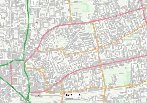
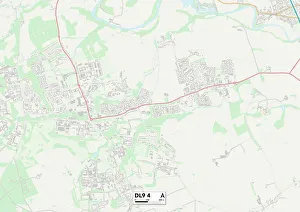
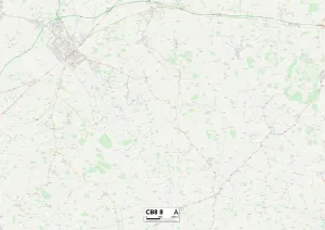
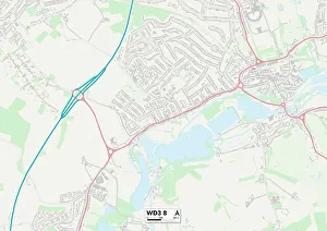
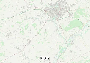
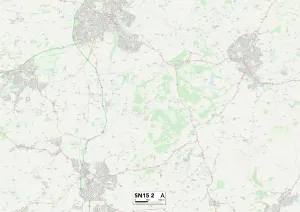
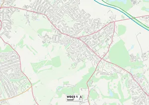
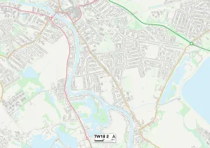
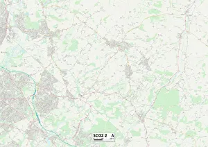
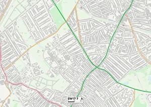
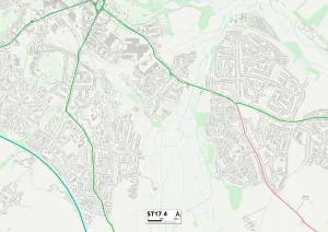
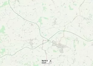
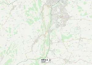
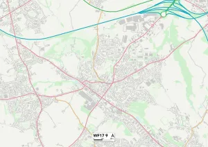
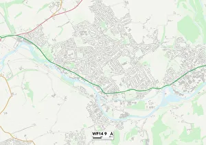
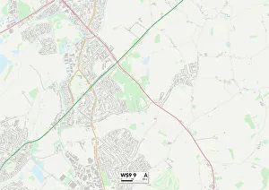
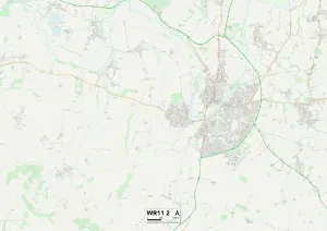
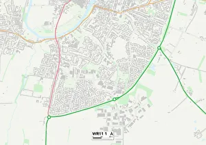
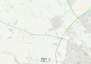
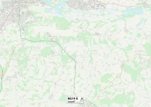
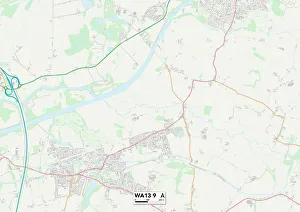
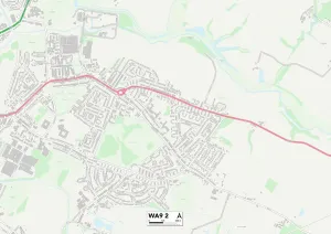
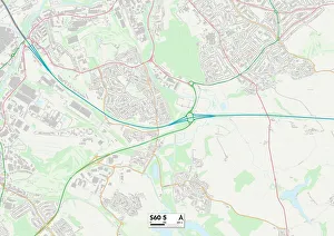
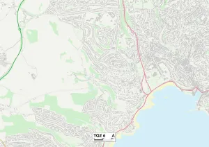
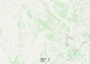
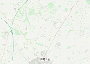
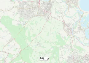
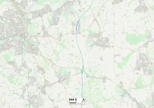
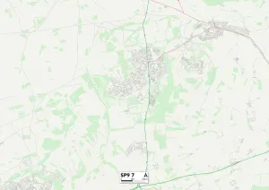
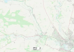
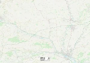
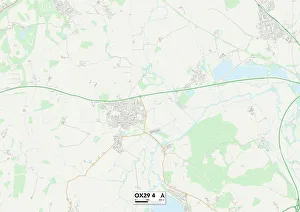
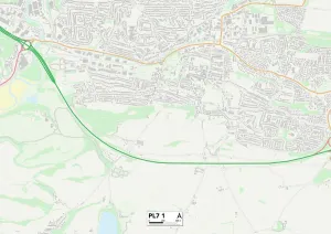
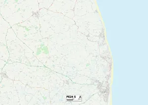
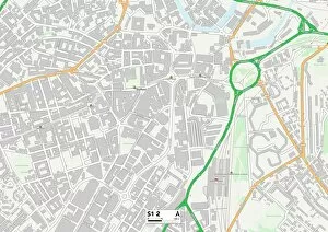
Discover the charm of St. Peter's Close, a hidden gem tucked away in various corners of England. From Tower Hamlets to North Yorkshire, this quaint street can be found on maps across the country. Wander through its diverse locations such as Newmarket and Three Rivers, each offering unique experiences and breathtaking landscapes. In Tower Hamlets E2 7 Map, St. Peter's Close welcomes you with its vibrant atmosphere and bustling city life. Explore the lively streets filled with trendy cafes and eclectic shops that cater to every taste. Head up north to North Yorkshire DL9 4 Map where St. Peter's Close exudes a sense of tranquility amidst picturesque countryside views. Immerse yourself in nature's beauty as you stroll along this peaceful street surrounded by rolling hills and charming villages. Newmarket CB8 8 Map invites horse racing enthusiasts to experience St. Peter's Close at the heart of one of Britain's most prestigious equestrian destinations. Feel the excitement in the air as racehorses thunder past during training sessions or immerse yourself in history at nearby equine museums. Venture further south to Three Rivers WD3 8 Map nestled within stunning Hertfordshire scenery where St. Peter’s close offers a serene escape from urban life. Take leisurely walks along scenic trails or enjoy picnics by tranquil riversides while soaking up nature’s wonders Test Valley SP11 7 Map takes you into rural Hampshire where St. Peter’s close reveals an idyllic setting for those seeking peace & quiet. Explore charming villages dotted around Test Valley or embark on outdoor adventures like fishing, hiking, & cycling amid lush greenery Wiltshire SN15 2 Map unveils another facet of St. Peter’s close; here it is embraced by quintessential English countryside.