Fraud Blocker Skip to main content

Population Collection (page 2)

"Exploring the Diversity

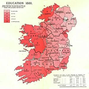
Background imagePopulation Collection: The Graphic Statistical Maps of Ireland; Education 1881, 1886. Creator: Unknown

The Graphic Statistical Maps of Ireland; Education 1881, 1886. Creator: Unknown
The Graphic Statistical Maps of Ireland; Education 1881, 1886. From "The Graphic. An Illustrated Weekly Newspaper Volume 33. January to June, 1886"

Background imagePopulation Collection: The Graphic Statistical Maps of Ireland; Population 1881, 1886. Creator: Unknown

The Graphic Statistical Maps of Ireland; Population 1881, 1886. Creator: Unknown
The Graphic Statistical Maps of Ireland; Population 1881, 1886. From "The Graphic. An Illustrated Weekly Newspaper Volume 33. January to June, 1886"

Background imagePopulation Collection: Flemish Rebellion, plate 7 from Historical Scenes from the Life of Emperor...printed c. 1520

Flemish Rebellion, plate 7 from Historical Scenes from the Life of Emperor...printed c. 1520. Creator: Wolf Traut
Flemish Rebellion, plate 7 from Historical Scenes from the Life of Emperor Maximilian I from the Triumphal Arch, 1515-17, printed c. 1520

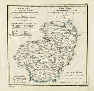
Background imagePopulation Collection: General Map of Kaluga Province: Showing Postal and Major Roads, Stations and... 1822

General Map of Kaluga Province: Showing Postal and Major Roads, Stations and... 1822
General Map of Kaluga Province: Showing Postal and Major Roads, Stations and the Distance in Versts between Them, 1822. This 1822 map of Kaluga Province is from a larger work

Background imagePopulation Collection: General Map of Poltava Province: Showing Postal and Major Roads, Stations and... 1821

General Map of Poltava Province: Showing Postal and Major Roads, Stations and... 1821
General Map of Poltava Province: Showing Postal and Major Roads, Stations and the Distance in Versts between Them, 1821. This 1821 map of Poltava Provinceis from a larger work

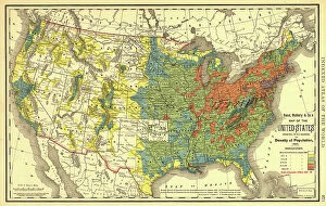
Background imagePopulation Collection: Rand, McNally & Co.'s map of the United States showing, in six degrees the density of pop... 1890

Rand, McNally & Co.'s map of the United States showing, in six degrees the density of pop... 1890
Rand, McNally & Co.'s map of the United States showing, in six degrees the density of population, 1890, (1892). This map, published in 1892 by the Chicago-based Rand McNally and Company

Background imagePopulation Collection: General Map of Pskov Province: Showing Postal and Major Roads, Stations and the Distance... 1820

General Map of Pskov Province: Showing Postal and Major Roads, Stations and the Distance... 1820
General Map of Pskov Province: Showing Postal and Major Roads, Stations and the Distance in Versts between Them, 1820. This 1820 map of Pskov Provinceis from a larger work

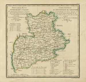
Background imagePopulation Collection: General Map of Chernigov Province: Showing Postal and Major Roads, Stations and... 1821

General Map of Chernigov Province: Showing Postal and Major Roads, Stations and... 1821
General Map of Chernigov Province: Showing Postal and Major Roads, Stations and the Distance in Versts between Them, 1821

Background imagePopulation Collection: General Map of Moscow Province: Showing Postal and Major Roads, Stations and the.. 1821

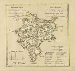
General Map of Moscow Province: Showing Postal and Major Roads, Stations and the.. 1821
General Map of Moscow Province: Showing Postal and Major Roads, Stations and the Distance in Versts between Them, 1821. This 1821 map of Smolensk Provinceis from a larger work

Background imagePopulation Collection: General Map of Kherson Province: Showing Postal and Major Roads, Stations and... 1821

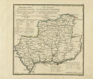
General Map of Kherson Province: Showing Postal and Major Roads, Stations and... 1821
General Map of Kherson Province: Showing Postal and Major Roads, Stations and the Distance in Versts between Them, 1821. This 1821 map of Kherson Provinceis from a larger work

Background imagePopulation Collection: General Map of Kiev Province: Showing Postal and Major Roads, Stations and.. 1821

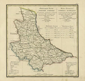
General Map of Kiev Province: Showing Postal and Major Roads, Stations and.. 1821
General Map of Kiev Province: Showing Postal and Major Roads, Stations and the Distance in Versts between Them, 1821. This 1821 map of Kiev Province is from a larger work

Background imagePopulation Collection: Map of the Trans-Mississippi of the United States during the period of the American fur... 1902

Map of the Trans-Mississippi of the United States during the period of the American fur... 1902
Map of the Trans-Mississippi of the United States during the period of the American fur trade as conducted from St. Louis between the years 1807 and 1843, 1902. This map, published in 1902 in H.M

Background imagePopulation Collection: General Map of Mogilev Province: Showing Postal and Major Roads, Stations and... 1821

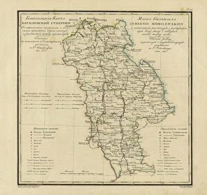
General Map of Mogilev Province: Showing Postal and Major Roads, Stations and... 1821
General Map of Mogilev Province: Showing Postal and Major Roads, Stations and the Distance in Versts between Them, 1821. This 1821 map of Mogilev Provinceis from a larger work

Background imagePopulation Collection: General Map of Taurida Province: Showing Postal and Major Roads, Stations and.. 1822

General Map of Taurida Province: Showing Postal and Major Roads, Stations and.. 1822
General Map of Taurida Province: Showing Postal and Major Roads, Stations and the Distance in Versts between Them, 1822. This 1822 map ofTaurida Provinceis from a larger work

Background imagePopulation Collection: General Map of Tula Province: Showing Postal and Major Roads, Stations and... 1822

General Map of Tula Province: Showing Postal and Major Roads, Stations and... 1822
General Map of Tula Province: Showing Postal and Major Roads, Stations and the Distance in Versts between Them, 1822. This 1822 map of Tula Provinceis from a larger work

Background imagePopulation Collection: General Map of Estland Province: Showing Postal and Major Roads, Stations and... 1820

General Map of Estland Province: Showing Postal and Major Roads, Stations and... 1820
General Map of Estland Province: Showing Postal and Major Roads, Stations and the Distance in Versts between Them, 1820. This 1820 map of Estland Province is from a larger work

Background imagePopulation Collection: General Map of Volhynia Province: Showing Postal and Major Roads, Stations... 1820

General Map of Volhynia Province: Showing Postal and Major Roads, Stations... 1820
General Map of Volhynia Province: Showing Postal and Major Roads, Stations and the Distance in Versts between Them, 1820. This 1820 map of Volhynia Provinceis from a larger work

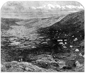
Background imagePopulation Collection: The Tuapeka Goldfields, Otago, New Zealand, 1862. Creator: W Thomas

The Tuapeka Goldfields, Otago, New Zealand, 1862. Creator: W Thomas
The Tuapeka Goldfields, Otago, New Zealand, 1862. The province received a great impetus in June, last year, by the discovery of goldfields situated on a stream called the Tuapeka...The immediate

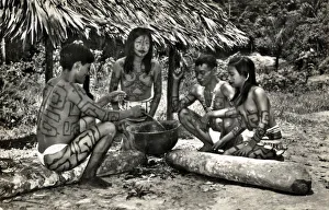
Background imagePopulation Collection: Rio Ampayaco, Peru - Bora Indians in their village

Rio Ampayaco, Peru - Bora Indians in their village. The Bora are an indigenous tribe of the Peruvian, Colombian and Brazilian Amazon, located between the Putumayo and Napo rivers

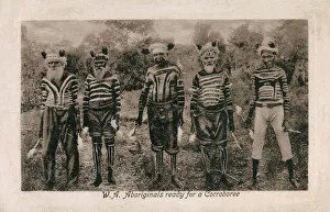
Background imagePopulation Collection: Western Australia - Aborigine Elders ready for a Corroboree

Western Australia - Aborigine Elders ready for a Corroboree
Western Australia, Australia - Five Australian Aborigine Elders ready for a Corroboree (an an Australian Aboriginal dance ceremony which may take the form of a sacred ritual or an informal gathering)

Background imagePopulation Collection: Large shoal of Horse mackerel (Megalaspis cordyla) schooling. Rinca, Komodo National Park

Large shoal of Horse mackerel (Megalaspis cordyla) schooling. Rinca, Komodo National Park, Indonesia

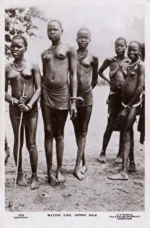
Background imagePopulation Collection: Sudan, Africa - Shilluk Mother and her four daughters

Sudan, Africa - Shilluk Mother and her four daughters. Date: circa 1920s

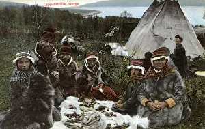
Background imagePopulation Collection: Sami Family, Norway

Sami Family, Norway. Date: circa 1908

Background imagePopulation Collection: Five male members of the Mois Tribe, Vietnam

Five male members of the Mois Tribe, Vietnam
Five male members of the Mois Tribe, Binh Thuan Province, Vietnam (just about preserving their modesty). The Mountain People ( Mois is actually a derogatory term) are The Degar

Background imagePopulation Collection: The last light of day illuminates San Francisco Bay and its surrounding cities and hills

The last light of day illuminates San Francisco Bay and its surrounding cities and hills. This area is bordered by open space in the East Bay

Background imagePopulation Collection: The San Francisco Bay Area has a complex network of infrastructure that supports one of the most

The San Francisco Bay Area has a complex network of infrastructure that supports one of the most populous areas on the west coast of the U.S

Background imagePopulation Collection: Early morning light shines on the populated San Francisco Bay Area in Northern California

Early morning light shines on the populated San Francisco Bay Area in Northern California. This populous region is home to millions of people

Background imagePopulation Collection: View of Shimla city in Indian Himalayas the capital of Indian state Himachal Pradesh

View of Shimla city in Indian Himalayas the capital of Indian state Himachal Pradesh. Shimla, Himachal Prades, India. Landscape photography View of Shimla city in Indian Himalayas the capital of

Background imagePopulation Collection: An aerial view shows dense housing developments in Summerlin, just outside the city of Las Vegas

An aerial view shows dense housing developments in Summerlin, just outside the city of Las Vegas, Nevada. This area is quickly being developed

Background imagePopulation Collection: A beautiful sunrise illuminates Oakland, Berkeley and San Francisco Bay in Northern California

A beautiful sunrise illuminates Oakland, Berkeley and San Francisco Bay in Northern California. This area is often covered by a thick marine layer

Background imagePopulation Collection: A beautiful sunrise illuminates the hills surrounding San Francisco Bay in Northern California

A beautiful sunrise illuminates the hills surrounding San Francisco Bay in Northern California. This area is often covered by a thick marine layer

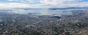
Background imagePopulation Collection: The first light of day shines on San Francisco Bay and the surrounding urban setting in Northern

The first light of day shines on San Francisco Bay and the surrounding urban setting in Northern California. Almost 8 million people live here

Background imagePopulation Collection: Male, Maldivian capital city from above. Aerial view Male

Male, Maldivian capital city from above. Aerial view Male

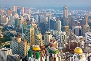
Background imagePopulation Collection: Thailand - Bangkok cityscape view from Baiyoke Sky Tower

Thailand - Bangkok cityscape view from Baiyoke Sky Tower

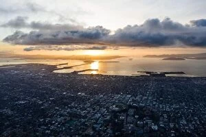
Background imagePopulation Collection: A serene sunset illuminates the densely populated San Francisco Bay area including Oakland

A serene sunset illuminates the densely populated San Francisco Bay area including Oakland, Berkeley, Emeryville, El Cerrito, and San Francisco

Background imagePopulation Collection: A large crowd gathering - north of England (possibly Leeds or Sheffield?). Date: 1908

A large crowd gathering - north of England (possibly Leeds or Sheffield?). Date: 1908

Background imagePopulation Collection: Laos - Champasak Province - Man and woman of the Lao Theung

Laos - Champasak Province - Man and woman of the Lao Theung
Laos - Champasak Province - A man and woman of the Lao Theung (or Lao Thoeng) Date: circa 1910s

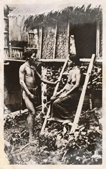
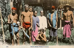
Background imagePopulation Collection: Malaysia - Semang people

Malaysia - Semang people
The Semang are a Negrito ethnic group of the Malay Peninsula. Lowland Semang tribes are also known as Sakai (see card caption), although this term is considered to be derogatory by the Semang people

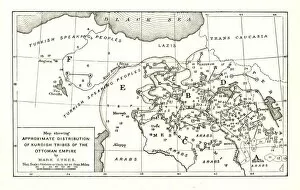
Background imagePopulation Collection: Map showing Approximate Distribution of Kurdish Tribes of the Ottoman Empire, c1915

Map showing Approximate Distribution of Kurdish Tribes of the Ottoman Empire, c1915. Diagram by British writer, soldier and diplomatic advisor Mark Sykes (1879-1919)

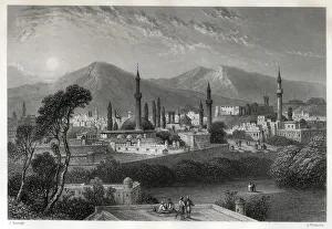
Background imagePopulation Collection: Erzurum, eastern Anatolia, Turkey, Ottoman Empire

Erzurum, eastern Anatolia, Turkey, Ottoman Empire
Erzurum (Armenian - Karin), is a city in eastern Anatolia, Turkey. The name " Erzurum" derives from " Arz-u Rum" (literally The Land of the Romans in Persian)

Background imagePopulation Collection: Native Market - Aden, Yemen

Native Market - Aden, Yemen - note the Sikh Indian and Arab merchants in the background. Date: circa 1906

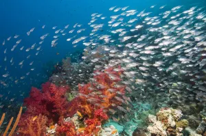
Background imagePopulation Collection: Coral reef scenery with Gorgonian and shoal of Pygmy / Glassy sweepers (Parapriacanthus

Coral reef scenery with Gorgonian and shoal of Pygmy / Glassy sweepers (Parapriacanthus guentheri) Egypt, Red Sea

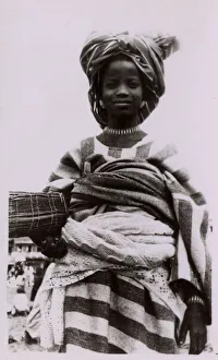
Background imagePopulation Collection: West Africa - Nigeria - Kano Woman - Sanusi People

West Africa - Nigeria - Kano Woman - Sanusi People
West Africa - Nigeria - Kano Woman with a wicker mat rolled-up under her arm - Sanusi People. Date: circa late 1950s

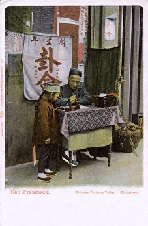
Background imagePopulation Collection: San Francisco, California, USA - Chinatown, Fortune Teller

San Francisco, California, USA - Chinatown, Fortune Teller. Date: 1904

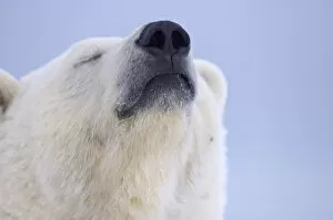
Background imagePopulation Collection: Polar bear (Ursus maritimus) head portrait of adult scenting the wind, Arctic National

Polar bear (Ursus maritimus) head portrait of adult scenting the wind, Arctic National Wildlife Refuge, Alaska

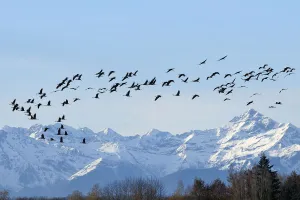
Background imagePopulation Collection: Common / Eurasian crane (Grus grus) flock in flight with snow topped Pyrenees mountains

Common / Eurasian crane (Grus grus) flock in flight with snow topped Pyrenees mountains in the background, during southward migration period, Haute Pyrenees, Gascony, France. December 2009

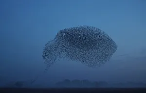
Background imagePopulation Collection: Thousands of starlings fly in a murmuration as they return to roost at dusk near Ely in

Thousands of starlings fly in a murmuration as they return to roost at dusk near Ely in Cambridgeshire, Britain December 24, 2018. REUTERS/Hannah McKay TPX IMAGES OF THE DAY

Background imagePopulation Collection: Sea lions are seen at the Palomino island in Callao, Peru

Sea lions are seen at the Palomino island in Callao, Peru October 14, 2016. REUTERS/Guadalupe Pardo TPX IMAGES OF THE DAY


All Professionally Made to Order for Quick Shipping

"Exploring the Diversity: From British Isles to Global Perspectives on Population" Discover the intricate tapestry distribution across the British Isles with our detailed map of Counties, Districts, and Unitary Authorities. Ignite curiosity in young minds with a Children's Political British Isles Map, showcasing how population shapes political boundaries. Step back in time with a 19th-century British Empire world map and witness the vast territories influenced by its population dynamics. Witness Europe come alive at night through a captivating satellite image, revealing bustling cities and vibrant communities. Marvel at the breathtaking beauty of our planet as you explore a satellite image capturing the Whole Earth at night - an awe-inspiring testament to global population centers. Embark on a nocturnal journey across North America through an enchanting satellite image that illuminates its diverse populations after sunset. Meet an adorable Young Uyghur Girl from Kashgar, Xinjiang, offering glimpses into unique cultures shaped by their local populations. Gain perspective on European urbanization patterns as you observe another striking satellite image showcasing Europe at night - where lights tell stories of human settlement and activity. Travel back in time to 1913 Dove Holes, Derbyshire, and stroll along its Main Street teeming with life - a snapshot of local population dynamics from over a century ago. Immerse yourself in Fortunio Matania's artwork depicting Grimsby's Fish Pontoon - witness how fishing communities thrive thanks to their reliance on abundant marine resources driven by local populations' needs. Uncover the fascinating process behind Navajo Indian Rugs' creation in the USA - these masterpieces reflect generations of cultural heritage intertwined with indigenous populations' resilience and creativity. Explore Maori culture through an intriguing portrait of a Maori Chieftain from New Zealand – discover how this vibrant community's population has shaped their traditions and identity.