Fraud Blocker Skip to main content

Physical Geography Collection (page 100)

"Exploring the Diverse Landscapes

Background imagePhysical Geography Collection: Lake Lucerne

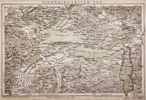
Lake Lucerne
Antique map of LAKE LUCERNE

Background imagePhysical Geography Collection: Algiers map

Algiers map
Antique illustration of a Algiers map

Background imagePhysical Geography Collection: Cartagena, Spain

Cartagena, Spain
Antique illustration of a Cartagena, Spain map

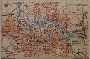
Background imagePhysical Geography Collection: Wroclaw City

Wroclaw City map

Background imagePhysical Geography Collection: Bosporus map

Bosporus map
Antique illustration map of Bosporus

Background imagePhysical Geography Collection: Map of Korea, China

Map of Korea, China
Antique illustration of a Map of Korea, China

Background imagePhysical Geography Collection: Silesia. Poland

Silesia. Poland
Antique illustration of a Silesia. Poland

Background imagePhysical Geography Collection: Siberia - lake of Baikal map

Siberia - lake of Baikal map
Antique illustration map of Siberia - lake of Baikal

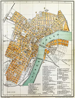
Background imagePhysical Geography Collection: Szeged map

Szeged map
Antique illustration of a Szeged map

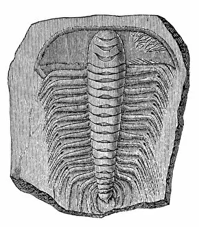
Background imagePhysical Geography Collection: Trilobite (Asaphus caudatus)

Trilobite (Asaphus caudatus)
Illustration of a Trilobite (Asaphus caudatus)

Background imagePhysical Geography Collection: Bird hunting

Bird hunting
Illustration of a men with guns and dog hunting birds

Background imagePhysical Geography Collection: South America map

South America map
Antique illustration of a South America map

Background imagePhysical Geography Collection: Arad City Map

Arad City Map
Illustration of a Arad City Map

Background imagePhysical Geography Collection: Lunar Map

Lunar Map
Antique illustration of a Lunar Map

Background imagePhysical Geography Collection: Chthyosaurus platyodon

Chthyosaurus platyodon
Illustration engraving of a chthyosaurus platyodon eye and jaw

Background imagePhysical Geography Collection: Eastern Canada and Newfoundland

Eastern Canada and Newfoundland
Illustration of a Eastern Canada and Newfoundland

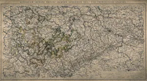
Background imagePhysical Geography Collection: Kingdom of Saxony, province of Saxony (southern part) and Thuringian states

Kingdom of Saxony, province of Saxony (southern part) and Thuringian states

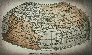
Background imagePhysical Geography Collection: Earth map according to Claudius Ptolemaeus

Earth map according to Claudius Ptolemaeus
Antique illustration of a earth map according to Claudius Ptolemaeus

Background imagePhysical Geography Collection: Province of Brandenburg, province of Saxony, northern part

Province of Brandenburg, province of Saxony, northern part
Antique illustration of a Province of Brandenburg, province of Saxony, northern part

Background imagePhysical Geography Collection: United States of America, eastern part

United States of America, eastern part
Antique illustration of a United States of America, eastern part

Background imagePhysical Geography Collection: United States of America, Middle section

United States of America, Middle section
Antique illustration of a United States of America, Middle section

Background imagePhysical Geography Collection: Western Alps

Western Alps
Antique illustration of a Western Alps

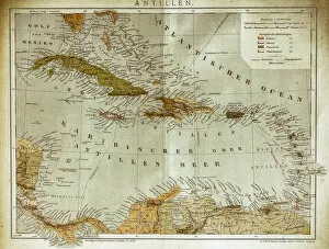
Background imagePhysical Geography Collection: West indies, Antilles map

West indies, Antilles map
Illustration of a West indies, Antilles map

Background imagePhysical Geography Collection: Bremen and Bremerhaven

Bremen and Bremerhaven
Antique illustration of a Bremen and Bremerhaven map

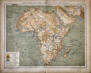
Background imagePhysical Geography Collection: Map of Africa

Map of Africa
Antique illustration of a map of Africa

Background imagePhysical Geography Collection: Local time world map

Local time world map
Antique illustration of a local time world map

Background imagePhysical Geography Collection: Equatorial Africa

Equatorial Africa
Antique illustration of a equatorial Africa

Background imagePhysical Geography Collection: Classification of the Alps

Classification of the Alps
Antique illustration of a classification of the Alps

Background imagePhysical Geography Collection: Egypt

Egypt
Antique illustration of a map of Egypt

Background imagePhysical Geography Collection: The World map

The World map
Antique illustration of a map of the World

Background imagePhysical Geography Collection: Upper and Central Italy

Upper and Central Italy
Antique illustration of a Upper and Central Italy

Background imagePhysical Geography Collection: Italy

Italy
Antique illustration of Italy

Background imagePhysical Geography Collection: Bridge of Four Lions

Bridge of Four Lions
Antique illustration engraving of German Empire Kingdom Prussia Brandenburg Province Berlin: Tiergarten: Bridge of Four Lions

Background imagePhysical Geography Collection: Rock Sepent

Rock Sepent
Pulpit Rock Portland Bill Dorset

Background imagePhysical Geography Collection: Coastal shapes

Coastal shapes
Rocks shaped & sculptured by the heavy waves crashing against rocks at Northumberland England

Background imagePhysical Geography Collection: Limestone rocks

Limestone rocks
Red sunlight on Limestone rocks at Yorkshire Dalls

Background imagePhysical Geography Collection: Andalusian view

Andalusian view
A tiny Andalusian village has the best of best mountains and sea

Background imagePhysical Geography Collection: Typically Scottish

Typically Scottish
A sheep wonders through the foreground of a typically Scottish landscape on the Isle of Skye in Scotland

Background imagePhysical Geography Collection: Jurassic Peaks

Jurassic Peaks
The geological wonder of the Quiraing Mountains on the Isle of Skye, Scotland, United Kingdom

Background imagePhysical Geography Collection: Cliffs surrounding Naeroyfjord

Cliffs surrounding Naeroyfjord

Background imagePhysical Geography Collection: Rugged

Rugged
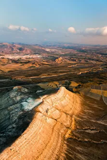
Morning light brings out the rugged landscape of Goreme National Park - an area of outstanding geological features in Cappadocia

Background imagePhysical Geography Collection: Golden Glow

Golden Glow
An ancient cave home makes for an excellent view of the sunset over the Rose Valley in Cappadocia

Background imagePhysical Geography Collection: Reaching for the Sun

Reaching for the Sun
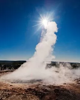
Steam from Geyser reaching for the Sun during a cloudless evening in Iceland

Background imagePhysical Geography Collection: Dyrholaey fingers

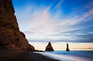
Dyrholaey fingers appear even more surreal during last light of an Icelandic summer evening

Background imagePhysical Geography Collection: Red Rock outcrop along Taylor Creek Kolob Canyons

Red Rock outcrop along Taylor Creek Kolob Canyons area Zion National Park Utah. A high shelf layered with conifer and deciduous trees in a backlit catchlight

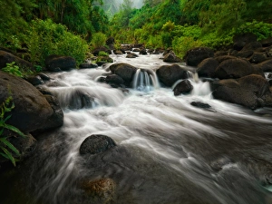
Background imagePhysical Geography Collection: Scenic cascades on Kauai, Hawaii Wonderlust2015

Scenic cascades on Kauai, Hawaii Wonderlust2015
A beautiful and lush stream ( Hanakapi ai ) flowing down from the Hanakapi ai Falls, exiting at Hanakapi ai Beach. Located along the Kalalua Trail on the Northwest side of Kauai, Hawaii

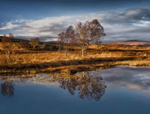
Background imagePhysical Geography Collection: Loch Ba Reflections

Loch Ba Reflections
A sunset creating dramatic side lighting on some birch trees reflecting on Loch Ba, Rannoch Moor, Scotland. Near Glencoe and Edinburgh, North of Glasgow, Scotland

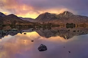
Background imagePhysical Geography Collection: Lochan na h-Achlaise Sunset

Lochan na h-Achlaise Sunset
Spectacular dramatic weather creates an amazing light show over the Mountains of Loch na h-Achlaise. The tranquil water of the loch reflects the distant mountains, islands of trees


All Professionally Made to Order for Quick Shipping

"Exploring the Diverse Landscapes: A Journey through Physical Geography" Embark on a captivating journey through physical geography as we delve into the intricate details of our world's diverse landscapes. From the political map of Africa, showcasing its nations and boundaries, to Mappa Mundi - an exquisite ink and color creation from 1265 London that offers a glimpse into medieval cartography. Travel back in time with the antique maps such as Map of Ireland (1897), Great Britain and Ireland (1867), Sicily (1895), Palestine (1875), and even Tasmania. These historical artifacts not only provide geographical information but also offer insights into how our understanding of land has evolved over centuries. Discover the wonders hidden within Antarctica as you explore a unique map overlaid with illustrations of sea gulls, penguins, elephant seals, shrimp, and buildings. Witness China unfold before your eyes through its intricately detailed map or marvel at Earth's tectonic plates marked by lines on a global scale. Experience rare moments captured by nature itself like never before – witness a snow-covered United Kingdom during January 2010 or immerse yourself in Earth's topographic and bathymetric features depicted meticulously on one single map. Physical geography is more than just studying landforms; it is about unraveling stories etched onto every inch of our planet's surface. Join us on this fascinating expedition where maps become windows to exploration, knowledge, and appreciation for the remarkable diversity that exists right beneath our feet.