
Mapped Collection
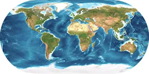
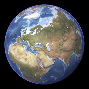
"Exploring the Depths and Heights: Mapped Wonders of Earth, Mars, and Beyond" Earth's vastness unfolds in intricate detail through topographic and bathymetric maps


All Professionally Made to Order for Quick Shipping
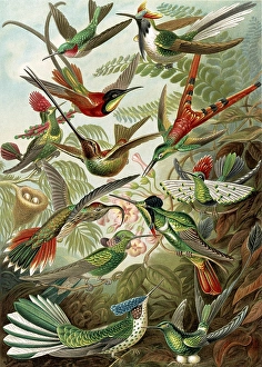
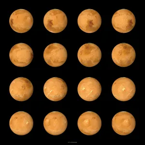
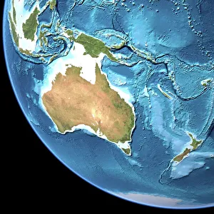
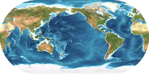
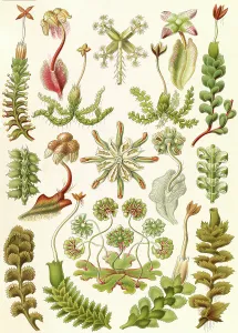
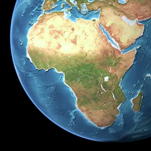
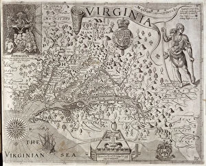
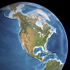
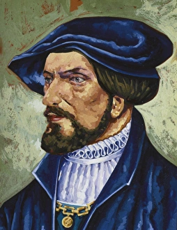
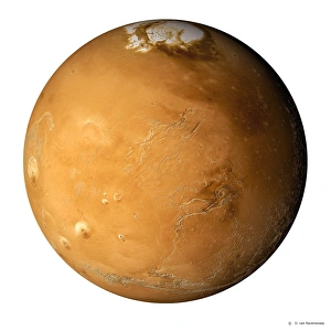
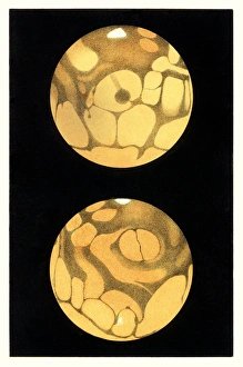
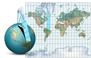
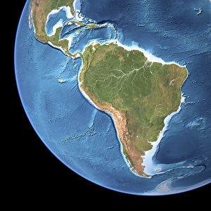
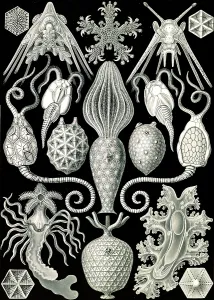
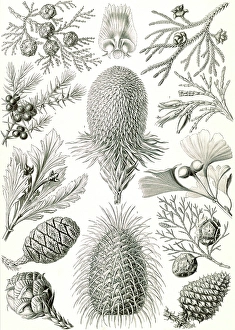
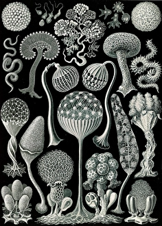
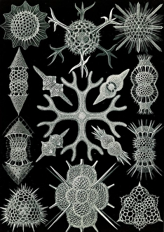
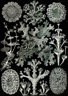
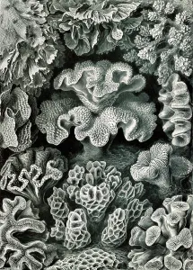
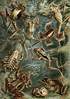
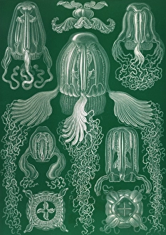
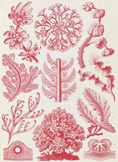
"Exploring the Depths and Heights: Mapped Wonders of Earth, Mars, and Beyond" Earth's vastness unfolds in intricate detail through topographic and bathymetric maps, revealing the hidden contours of both land and sea. Journey to Mars with composite satellite images that piece together a captivating mosaic of the Red Planet's enigmatic landscapes. Australia comes alive on a topographic map, showcasing its diverse terrain from rugged mountains to sprawling deserts. Delight in an illustration featuring graceful hummingbirds - members of the Trochilidae family - as they flit amidst vibrant flowers. Dive into Earth's mysteries once again with a mesmerizing blend of topographic and bathymetric maps, unraveling the secrets held within our oceans' depths. Marvel at an exquisite illustration capturing the delicate beauty of liverworts, known scientifically as Hepaticae – nature's botanical masterpiece. Embark on an adventure across Africa through a detailed topographic map that unveils its majestic peaks, expansive savannas, and winding rivers. Immerse yourself in another stunning fusion of topography and bathymetry as you traverse Earth's varied landscapes yet again. Discover Mars anew with a comprehensive topographical map accompanied by vivid satellite imagery – witness its alien terrains like never before. Encounter stinkhorn mushrooms in all their peculiar glory through an enchanting illustration depicting these fascinating members of Basidiomycetes family. Uncover history's footprints with Rodrigo de Bastidas; this Spanish conquistador left his mark during exploration journeys between 1460-1526 AD. Simon Panser’s artistic prowess shines bright as he brings life to these captivating illustrations that transport us into worlds unseen before our eyes.