Fraud Blocker Skip to main content

Cartographic Collection (page 32)

"Unveiling the World Through Cartographic Masterpieces" Step back in time and embark on a journey through history with these captivating cartographic treasures

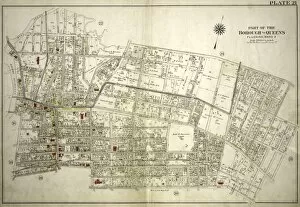
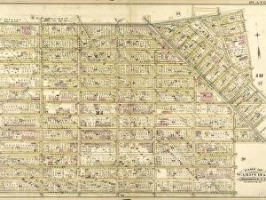
Background imageCartographic Collection: Plate 21: Bounded by Mill Creek Bayside Avenue, Congress Avenue, Myrtle Avenue, Whitestone

Plate 21: Bounded by Mill Creek Bayside Avenue, Congress Avenue, Myrtle Avenue, Whitestone Avenue, Bayside Avenue, 16th Street, Mitchell Avenue, 19th Street, Broadway, 18th Street, Sanford Avenue

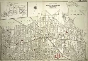
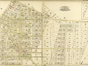
Background imageCartographic Collection: Plate 42: Bounded by Central Avenue, Springfield, Laurelton, Rosedale Terrace Springfield

Plate 42: Bounded by Central Avenue, Springfield, Laurelton, Rosedale Terrace Springfield Road, Springfield Park, High View Park, Higbie Park, Higbie Avenue, Farmers Avenue, Merrick Plank Road

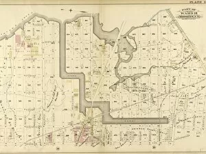
Background imageCartographic Collection: Plate 31: Bounded by New York and Rockaway Beach, Ocean Avenue, Freeland Avenue

Plate 31: Bounded by New York and Rockaway Beach, Ocean Avenue, Freeland Avenue, Flushing Woodhaven Avenue, Sutter Avenue, Cedar Lane, Conduit, Ruby Street, Atlantic Avenue, Drew Avenue

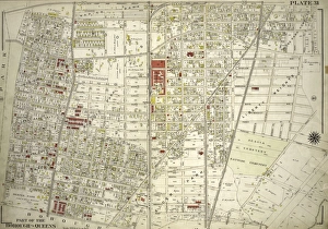
Background imageCartographic Collection: Plate 32: Bounded by Forest Park Magnolia Avenue, Union Place, Tulip Street, Cleveland

Plate 32: Bounded by Forest Park Magnolia Avenue, Union Place, Tulip Street, Cleveland Avenue, Washington Avenue, Myrtle Avenue, Division Avenue

Background imageCartographic Collection: Part of the Borough of Queens, Far Rockaway, Ward 5

Part of the Borough of Queens, Far Rockaway, Ward 5

Background imageCartographic Collection: Plate 124: Bounded by E. 110th Street, Third Avenue, E

Plate 124: Bounded by E. 110th Street, Third Avenue, E. 105th Street and Central Park Fifth Avenue

Background imageCartographic Collection: Plate 5: Bounded by Con. Ed. Gas Co. of N

Plate 5: Bounded by Con. Ed. Gas Co. of N.Y.Winthrop Avenue, Blackwell Avenue, Berrian AVenue, Cabinet Street, Riker Avenue, Bowery Bay Road, Flushing Avenue

Background imageCartographic Collection: Plate 4: Bounded by Rapelje Avenue, Woolsey Avenue, Flushing Avenue, Old Bowery Bay Road

Plate 4: Bounded by Rapelje Avenue, Woolsey Avenue, Flushing Avenue, Old Bowery Bay Road, Woodside Avenue, Middleburg Avenue, Celtic Woodside Avenue, Foster Avenue, Laurel Hill Avenue

Background imageCartographic Collection: Part of the Borough of Queens, New town, Ward 2

Part of the Borough of Queens, New town, Ward 2

Background imageCartographic Collection: Part of the Borough of Queens, Flushing, Ward 3

Part of the Borough of Queens, Flushing, Ward 3

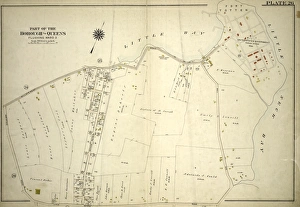
Background imageCartographic Collection: Plate 26: Willets Point Road Little Bay, Bell Avenue Little Neck Bay, Bayside Road

Plate 26: Willets Point Road Little Bay, Bell Avenue Little Neck Bay, Bayside Road and Weststone Road

Background imageCartographic Collection: Plate 30: Bounded by Nassau Road, Broadway, Clinton Avenue, East Alley Road, Little

Plate 30: Bounded by Nassau Road, Broadway, Clinton Avenue, East Alley Road, Little Neck Road, Jericho Turnpike, Rocky Hill Road, Alley Road and Broadway

Background imageCartographic Collection: Section 16

Section 16

Background imageCartographic Collection: Section 8. Staten Island, 1874

Section 8. Staten Island, 1874

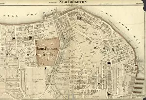
Background imageCartographic Collection: Part of New Brighton : Town of Castleton

Part of New Brighton : Town of Castleton

Background imageCartographic Collection: Section 5. Staten Island, 1874

Section 5. Staten Island, 1874

Background imageCartographic Collection: Section 7. Staten Island, 1874

Section 7. Staten Island, 1874

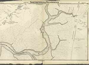
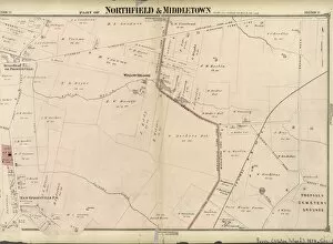
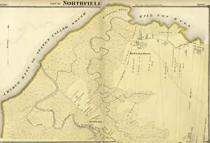
Background imageCartographic Collection: Part of Northfield & Middletown. Staten Island, 1874

Part of Northfield & Middletown. Staten Island, 1874

Background imageCartographic Collection: Section 14

Section 14

Background imageCartographic Collection: Part of Southfield

Part of Southfield

Background imageCartographic Collection: Section 26. Staten Island, 1874

Section 26. Staten Island, 1874

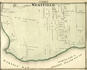
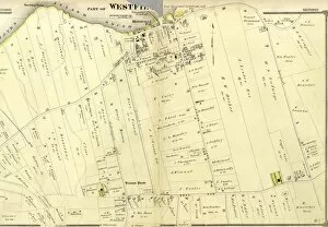
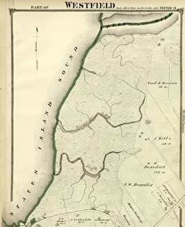
Background imageCartographic Collection: Part of Westfield

Part of Westfield

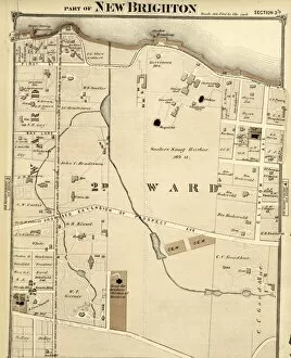
Background imageCartographic Collection: Part of New Brighton

Part of New Brighton

Background imageCartographic Collection: Section 23. Staten Island, 1874

Section 23. Staten Island, 1874

Background imageCartographic Collection: Plate 4: Bounded by Atlantic Avenue, Bond Street, Schermerhorn Street, Flatbush Avenue

Plate 4: Bounded by Atlantic Avenue, Bond Street, Schermerhorn Street, Flatbush Avenue, Fifth Avenue, President Street and Court Street

Background imageCartographic Collection: Section 27

Section 27

Background imageCartographic Collection: Part of Southfield & Middletown

Part of Southfield & Middletown

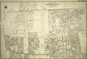
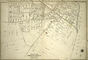
Background imageCartographic Collection: Part of the Borough of Queens, Jamaica, Ward 4

Part of the Borough of Queens, Jamaica, Ward 4

Background imageCartographic Collection: Plate 39: Bounded by Chichester Ave. Claremont Ave

Plate 39: Bounded by Chichester Ave. Claremont Ave. Queens Blvd. Hempstead and Jamaica Plank Rd. W. Whittier St. Wertland Ave. Queens Court Creed Ave. Hempstead and Jamaica Plank Rd. Springfield Rd

Background imageCartographic Collection: Section 19. Staten Island, 1874

Section 19. Staten Island, 1874

Background imageCartographic Collection: Section 9

Section 9

Background imageCartographic Collection: Section 18

Section 18

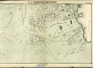
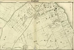
Background imageCartographic Collection: Part of Clifton. Staten Island, 1874

Part of Clifton. Staten Island, 1874

Background imageCartographic Collection: Section 11

Section 11

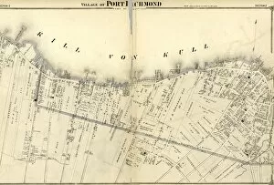
Background imageCartographic Collection: Village of Port Richmond. Staten Island, 1874

Village of Port Richmond. Staten Island, 1874

Background imageCartographic Collection: Section 1. Staten Island, 1874

Section 1. Staten Island, 1874

Background imageCartographic Collection: Plate 31: Bounded by Richards Street, Partition Street, Dwight Street, Bush Street

Plate 31: Bounded by Richards Street, Partition Street, Dwight Street, Bush Street, Columbia Street, Centre Street, Hicks Street, Luquer Street, Henry Street, Nelson Street, Hamilton Avenue

Background imageCartographic Collection: Plate 40: Bounded by Duryea Avenue, Bennet Avenue, New Lots Road, Ruby Street, Cozine

Plate 40: Bounded by Duryea Avenue, Bennet Avenue, New Lots Road, Ruby Street, Cozine Avenue, Grant Avenue, Flatlands Avenue, Lincoln Avenue, Van Wicklen Avenue, Louisiana Avenue, Flatlands Avenue

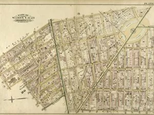
Background imageCartographic Collection: Plate 39: Part of Ward 26. Brooklyn, N. Y

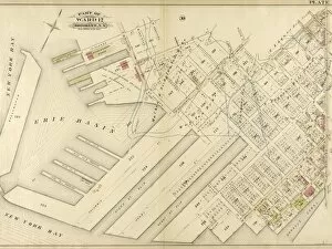
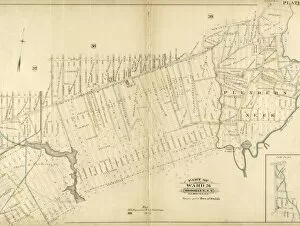
Plate 39: Part of Ward 26. Brooklyn, N. Y
Plate 39: Part of Ward 26. Brooklyn, N.Y

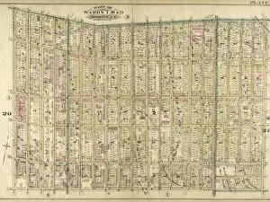
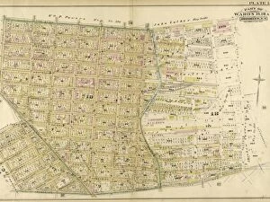
Background imageCartographic Collection: Plate 18: Part of Wards 18 & 21. Brooklyn, N. Y

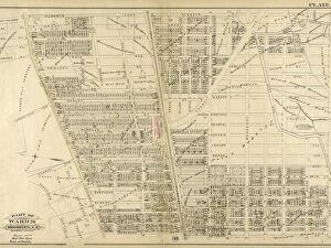
Plate 18: Part of Wards 18 & 21. Brooklyn, N. Y
Plate 18: Part of Wards 18 & 21. Brooklyn, N.Y

Background imageCartographic Collection: Plate 8: Bounded by Flushing Wallabout Avenue, Nostrand Avenue, Lafayette Avenue

Plate 8: Bounded by Flushing Wallabout Avenue, Nostrand Avenue, Lafayette Avenue and Clermont Avenue

Background imageCartographic Collection: Plate 17: Bounded by Flushing Avenue, Knickerbocker Avenue, Grattan Street, Flushing

Plate 17: Bounded by Flushing Avenue, Knickerbocker Avenue, Grattan Street, Flushing Avenue, Covert Avenue, Myrtle Avenue, Cypress Street, Standhope Street, St

Background imageCartographic Collection: Plate 16: Bounded by Newtown Creek Seneca Avenue, Flushing Avenue, Grattan Street

Plate 16: Bounded by Newtown Creek Seneca Avenue, Flushing Avenue, Grattan Street, Knickerbocker Avenue, Morgan Avenue, Amos Street, Gardner Avenue, Maspeth Avenue, Scott Street and Bullion Street

Background imageCartographic Collection: Plate 6: Bounded by Washington Avenue, Underhill Avenue, Parkway, Ninth Avenue, President

Plate 6: Bounded by Washington Avenue, Underhill Avenue, Parkway, Ninth Avenue, President Street, Fifth Avenue, Atlantic Avenue, Portland Avenue, Hanson Place, Greene Avenue

Background imageCartographic Collection: Plate 15: Part of Wards 16, 18. & 19. Brooklyn, N. Y

Plate 15: Part of Wards 16, 18. & 19. Brooklyn, N. Y
Plate 15: Part of Wards 16, 18. & 19. Brooklyn, N.Y

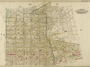
Background imageCartographic Collection: Plate 14: Part of Wards 15, 17 & 18. Brooklyn, N. Y

Plate 14: Part of Wards 15, 17 & 18. Brooklyn, N. Y
Plate 14: Part of Wards 15, 17 & 18. Brooklyn, N.Y

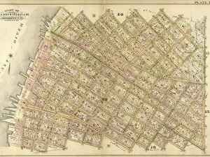
Background imageCartographic Collection: Plate 10: Bounded by N. Second Street, Kent Avenue, N. Third Street, Wythe Avenue, N

Plate 10: Bounded by N. Second Street, Kent Avenue, N. Third Street, Wythe Avenue, N. Fifth Street, Berry Street, N. Seventh Street, Bedford Avenue, N. Ninth Street, Driggs Street, N

Background imageCartographic Collection: Plate 12: Bounded by Commercial Street Newtown Creek, Ash Street, Paidge Avenue

Plate 12: Bounded by Commercial Street Newtown Creek, Ash Street, Paidge Avenue, Sutton Street, Calyer Street, Manhattan Avenue, Noble Street, West Street, Dupont Street and Franklin Street


All Professionally Made to Order for Quick Shipping

"Unveiling the World Through Cartographic Masterpieces" Step back in time and embark on a journey through history with these captivating cartographic treasures. From Al-Idrisi's world map of 1154 to Orteliuss' intricate creations from the 16th century, each map tells a unique story about the world as it was known at that time. Al-Idrisi's world map, crafted in 1154, offers a glimpse into medieval Islamic geography, showcasing an impressive understanding of global trade routes and geographical features. Meanwhile, the British Empire world map from the 19th century illustrates the vast extent of Britain's dominion across continents and oceans. The Catalan Atlas transports us to the 14th century with its exquisite craftsmanship and detailed depictions of various regions. It serves as a testament to Catalonia's rich maritime tradition and exploration during this period. Orteliuss' maps take center stage throughout this collection, providing invaluable insights into specific regions such as Ottoman Empire, Italy, Poland, Greece, Germany, Netherlands - all meticulously documented in his renowned Theatrum Orbis Terrarum. These masterpieces not only showcase Orteliuss' cartographic expertise but also shed light on political boundaries and cultural nuances prevalent during his era. Moving closer to home is the Map of City Dublin from 1797 which showcases Ireland's capital city at that time - offering glimpses into its urban layout and architectural landmarks that have shaped Dublin's identity over centuries. Lastly Zaragoza’s (19th c. ) Map takes us to Spain where we can explore Madrid through intricate details capturing its streetscape during that period - allowing us to immerse ourselves in Spanish history while navigating through its vibrant capital city. These remarkable cartographic works serve as windows into our past – they are not just maps; they are gateways connecting us with bygone eras.