Framed Print > Universal Images Group (UIG) > Universal Images Group > Satellite and Aerial > Planet Observer 4
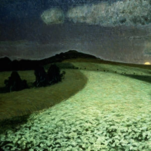
Framed Print : State of Burgenland, Austria, Relief Map


![]()
Framed Photos from Universal Images Group (UIG)
State of Burgenland, Austria, Relief Map
Relief map of the State of Burgenland, Austria. This image was compiled from data acquired by LANDSAT 5 & 7 satellites combined with elevation data
Universal Images Group (UIG) manages distribution for many leading specialist agencies worldwide
Media ID 9619259
© Planet Observer/UIG
Alps Austria Lake Mountain Mountain Range Relief Map State Burgenland Eisenstadt Satellite View
12"x10" Modern Frame
Discover the captivating beauty of Burgenland, Austria with our Framed Prints from Media Storehouse. This exquisite piece showcases a detailed relief map of the region, derived from satellite data acquired by LANDSAT 5 & 7. Each print is meticulously framed, adding an elegant touch to any space. Explore the intricacies of the terrain with this unique and visually stunning representation of Burgenland's landscape.
10x8 Print in an MDF Wooden Frame with 180 gsm Satin Finish Paper. Glazed using shatter proof thin plexi glass. Frame thickness is 1 inch and depth 0.75 inch. Fluted cardboard backing held with clips. Supplied ready to hang with sawtooth hanger and rubber bumpers. Spot clean with a damp cloth. Packaged foam wrapped in a card.
Contemporary Framed and Mounted Prints - Professionally Made and Ready to Hang
Estimated Image Size (if not cropped) is 25.4cm x 25.4cm (10" x 10")
Estimated Product Size is 25.4cm x 30.5cm (10" x 12")
These are individually made so all sizes are approximate
Artwork printed orientated as per the preview above, with landscape (horizontal) or portrait (vertical) orientation to match the source image.
EDITORS COMMENTS
This print showcases the stunning state of Burgenland in Austria, as seen through a relief map. The intricate details and topography of this region have been meticulously captured using data acquired by LANDSAT 5 & 7 satellites, combined with elevation information. Nestled amidst the picturesque landscape lies a serene lake surrounded by majestic mountains, creating a breathtaking vista. The image highlights the diverse physical geography of Burgenland, offering a glimpse into its natural wonders. The towering Alps dominate the horizon, their peaks reaching towards the sky in all their grandeur. This satellite view allows us to appreciate the vastness and beauty of this mountain range that stretches across Europe. The color image brings life to this cartographic representation, showcasing different elevations and terrains with vibrant hues. With no people present in the frame, it emphasizes the untouched nature and tranquility of this outdoor paradise. Eisenstadt, the capital city of Burgenland, may not be visible in this particular shot but is undoubtedly an integral part of this remarkable state's cultural heritage. From historical landmarks to charming villages scattered throughout its boundaries, Burgenland offers endless exploration opportunities for those seeking adventure or simply wishing to immerse themselves in its rich history. This print from Universal Images Group (UIG) serves as both an artistic masterpiece and an educational tool for anyone fascinated by geography or captivated by Austria's natural splendor.
MADE IN THE USA
Safe Shipping with 30 Day Money Back Guarantee
FREE PERSONALISATION*
We are proud to offer a range of customisation features including Personalised Captions, Color Filters and Picture Zoom Tools
SECURE PAYMENTS
We happily accept a wide range of payment options so you can pay for the things you need in the way that is most convenient for you
* Options may vary by product and licensing agreement. Zoomed Pictures can be adjusted in the Cart.