
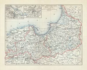
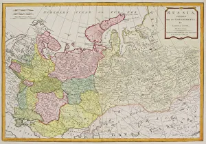
Russia Framed Print Collection
Discover the rich history and culture of Russia with our exquisite collection of Framed Prints from Media Storehouse. Each map and chart in this series showcases intricate details of the vast Russian landscape, from its expansive borders to its major cities and waterways. These high-quality prints are meticulously crafted to bring a touch of history and sophistication to any room. Explore the beauty and complexity of Russia with our beautifully framed maps and charts.
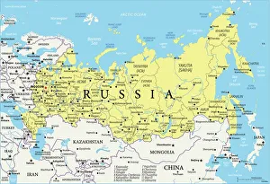
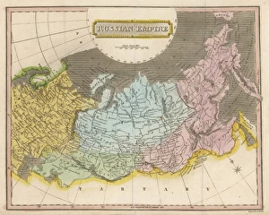
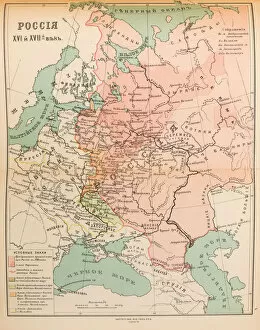
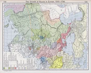
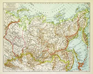
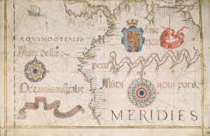
Russia is the largest country in the world
Choose a picture from our Russia Framed Print Collection for your Wall Art and Photo Gifts
1,337 Framed Prints


All Professionally Made to Order for Quick Shipping
-
Russia Framed Print Collection
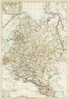
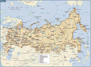
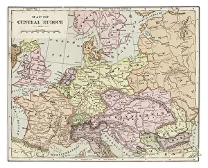
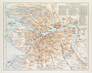
Russia is the largest country in the world, spanning across two continents and covering an area of 17.1 million square kilometers and has a population of over 144 million people, making it the ninth most populous country globally. The country's economy heavily relies on its vast reserves of natural resources such as oil, gas, coal, and timber. Moscow is Russia's capital city and home to over 12 million residents. Other major cities include Saint Petersburg, Novosibirsk, Yekaterinburg, Nizhny Novgorod and Kazan. The Russian Federation comprises eighty-five federal subjects that are divided into seven federal districts for administrative purposes.
+
Our beautiful Wall Art and Photo Gifts include Framed Prints, Photo Prints, Poster Prints, Canvas Prints, Jigsaw Puzzles, Metal Prints and so much more
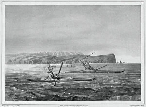
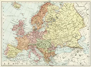
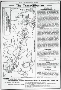
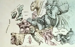
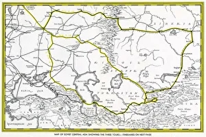
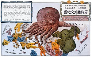
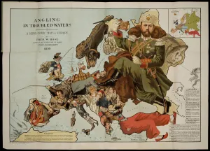
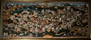
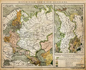
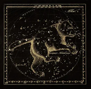
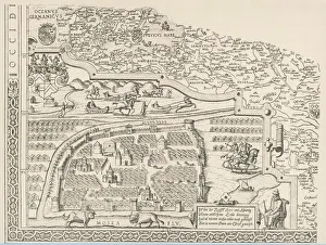
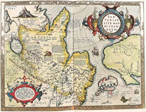
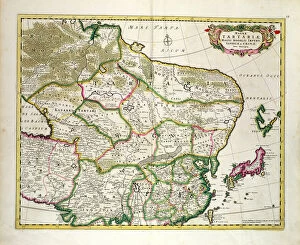
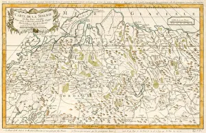
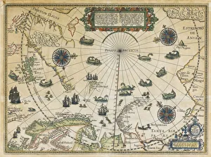
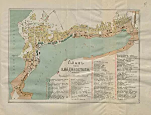
The Russia collection from Media Storehouse offers a stunning array of wall art and framed prints that showcase the beauty, history, and culture of Russia. Our collection features an extensive range of maps and charts that depict various regions, cities, landmarks, and historical events in Russia. Our collection includes vintage maps dating back to the 18th century as well as contemporary designs that capture the modern-day landscape of this vast country. Whether you are looking for a unique piece to decorate your home or office or seeking inspiration for your next travel adventure, our collection has something for everyone. From iconic landmarks such as St. Basil's Cathedral in Moscow to lesser-known gems like Lake Baikal in Siberia, these prints offer a glimpse into the diverse landscapes and rich cultural heritage of Russia. The Russia collection is a must-see for anyone interested in exploring one of the world's most fascinating countries through beautiful artwork.
+
What are Russia (Maps and Charts) art prints?
Russia art prints are a collection of high-quality, visually stunning prints that showcase the geography and history of Russia. These prints feature detailed maps and charts that highlight various regions, cities, rivers, mountains, and other important landmarks in Russia. They also include historical information about the country's culture, economy, politics, and society. These art prints are perfect for anyone who is interested in Russian history or geography. They can be used to decorate homes or offices with a unique touch of sophistication. The intricate details on these maps make them an excellent educational tool for students studying Russian history or geography. The We offer a wide range of Russia art prints in different sizes to suit every need. These prints are made using high-quality materials to ensure their longevity so they can be enjoyed for years to come. Whether you're looking for something classic or contemporary, there is sure to be a print that will capture your imagination at Media Storehouse.
+
What Russia (Maps and Charts) art prints can I buy from Media Storehouse?
We offer a wide range of Russia art prints that you can purchase. These include antique maps, vintage charts, and contemporary illustrations showcasing the beauty and history of Russia. You can choose from various sizes, styles, and materials to suit your preferences. Some popular options include detailed maps of Moscow or St. Petersburg, historic charts depicting the Russian Empire's expansion over time, or modern illustrations featuring iconic landmarks such as the Kremlin or Red Square. Whether you're looking for a unique piece to decorate your home or office space or a thoughtful gift for someone who loves travel and culture, we have something for everyone. Their high-quality prints are produced using state-of-the-art printing technology on premium paper stock to ensure vibrant colors and sharp details that will last for years to come. With so many beautiful Russia art prints available at Media Storehouse, you're sure to find something that catches your eye.
+
How do I buy Russia (Maps and Charts) art prints?
To buy Russia art prints from Media Storehouse, you can browse our extensive collection of artwork online. Simply search for the specific type of print you are looking for using keywords such as "Russia maps" or "Russian charts". Once you have found a print that catches your eye, select the size and format that best suits your needs. We offer a range of formats including canvas prints, framed prints, and poster prints. You can also choose to have your print mounted on wood or metal for added durability. After selecting your preferred format, simply add the item to your cart and proceed to checkout. At checkout, you will be prompted to enter your shipping information and payment details. Once this is complete, Media Storehouse will process your order and ship it directly to you. With high-quality printing techniques used in all their products, purchasing Russia art prints from Media Storehouse is an excellent way to add unique decor pieces with historical significance to any space.
+
How much do Russia (Maps and Charts) art prints cost?
We offer a wide range of Russia art prints that vary in price depending on the size and type of print you choose. Our collection includes vintage maps, historical charts, and contemporary artwork featuring iconic Russian landmarks and landscapes. Our prices are competitive with other online retailers offering similar products. We strive to provide high-quality prints at affordable prices so that everyone can enjoy beautiful artwork in their home or office. Whether you're looking for a small print to add some color to your space or a large statement piece to make a bold impression, we have something for every budget. Our selection is constantly updated with new designs, so be sure to check back often for the latest additions. Our Russia art prints are priced fairly based on their quality and uniqueness.
+
How will my Russia (Maps and Charts) art prints be delivered to me?
We take pride in delivering your Russia art prints to you with utmost care. We use high-quality packaging materials to ensure that your artwork arrives safely and securely at your doorstep. Your art print will be carefully rolled into a sturdy tube, which is then placed inside a protective cardboard box for added security during transit. We work with trusted courier partners who offer reliable delivery services worldwide. Once your order has been dispatched from our warehouse, you will receive an email notification containing the tracking details of your shipment so that you can monitor its progress until it reaches you. We understand the value of preserving art pieces as they are meant to be seen by their creators. That's why we go above and beyond to make sure that every customer receives their Russia art prints in pristine condition – ready for framing or display as soon as they arrive.