Home > Arts > Photorealistic artworks > Detailed art pieces > Masterful detailing in art
Framed Print : Indiana Map


Framed Photos from Fine Art Storehouse
Indiana Map
A detailed map of Indiana state with cities, roads, major rivers, and lakes plus National Forests. Includes neighboring states and surrounding water
Unleash your creativity and transform your space into a visual masterpiece!
Media ID 15495565
22"x18" Modern Frame
Discover the beauty and intrigue of Indiana with our exquisite Framed Prints from Media Storehouse's Fine Art Storehouse. This captivating piece showcases a detailed and vibrant map of the Hoosier State, meticulously crafted to highlight major cities, roads, rivers, lakes, and national forests. Delight in the rich tapestry of Indiana's geography as you explore the winding waterways of the Wabash and White Rivers, the sprawling shores of Lake Michigan and Lake Erie, and the lush expanses of the Hoosier National Forest. With the addition of neighboring states and surrounding water, this masterpiece offers a stunning and comprehensive view of the Midwest region. Elevate your home or office decor with this elegant and informative work of art.
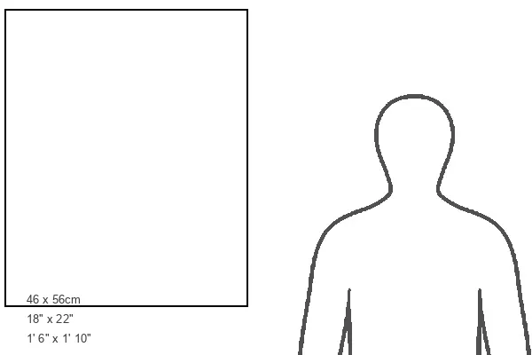
20x16 Print in an MDF Wooden Frame with 180 gsm Satin Finish Paper. Glazed using shatter proof thin plexiglass. Frame thickness is 1 inch and depth 0.75 inch. Fluted cardboard backing held with clips. Supplied ready to hang with sawtooth hanger and rubber bumpers. Spot clean with a damp cloth. Packaged foam wrapped in a card.
Contemporary Framed and Mounted Prints - Professionally Made and Ready to Hang
Estimated Image Size (if not cropped) is 45.7cm x 50.8cm (18" x 20")
Estimated Product Size is 45.7cm x 55.9cm (18" x 22")
These are individually made so all sizes are approximate
Artwork printed orientated as per the preview above, with portrait (vertical) orientation to match the source image.
FEATURES IN THESE COLLECTIONS
> Arts
> Landscape paintings
> Forest and woodland scenes
> Forest artwork
> Arts
> Photorealistic artworks
> Detailed art pieces
> Masterful detailing in art
> Fine Art Storehouse
> Map
> Reference Maps
> Maps and Charts
> Related Images
EDITORS COMMENTS
This stunning print showcases the intricate details of Indiana's geography, providing a comprehensive map of the state. From its bustling cities to winding roads, major rivers, and serene lakes, this artwork captures the essence of Indiana's diverse landscape. The inclusion of National Forests highlights the state's commitment to preserving its natural beauty. Not limited to just depicting Indiana alone, this map also encompasses neighboring states and surrounding water bodies. It serves as a visual gateway into understanding how Indiana fits within the larger regional context. The artist behind this masterpiece has skillfully captured every minute detail with precision and clarity. Each city is marked with accuracy, allowing viewers to trace their fingers along familiar routes or discover new destinations within the state. Whether you are an avid traveler planning your next road trip through Indiana or simply have an appreciation for cartography and artistry, this print from Fine Art Storehouse is sure to captivate your imagination. Hang it in your home or office space as a conversation starter or use it as a reference tool for educational purposes
MADE IN THE USA
Safe Shipping with 30 Day Money Back Guarantee
FREE PERSONALISATION*
We are proud to offer a range of customisation features including Personalised Captions, Color Filters and Picture Zoom Tools
SECURE PAYMENTS
We happily accept a wide range of payment options so you can pay for the things you need in the way that is most convenient for you
* Options may vary by product and licensing agreement. Zoomed Pictures can be adjusted in the Cart.