Home > North America > United States of America > New York > New York > Maps
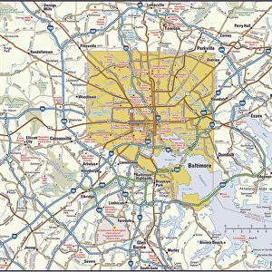
Baltimore city map 1893

![]()
Wall Art and Photo Gifts from Fine Art Storehouse
Baltimore city map 1893
Johnsonas Universal Cyclopedia - Charles Kendall - New York 1893
Unleash your creativity and transform your space into a visual masterpiece!
THEPALMER
Media ID 14756562
© This content is subject to copyright
FEATURES IN THESE COLLECTIONS
> Fine Art Storehouse
> Map
> Historical Maps
> Fine Art Storehouse
> Map
> USA Maps
> Maps and Charts
> Early Maps
> North America
> United States of America
> Maps
> North America
> United States of America
> Maryland
> Baltimore
> North America
> United States of America
> New York
> New York
> Maps
EDITORS COMMENTS
In this print titled "Baltimore City Map 1893" we are transported back in time to the bustling streets of Maryland's largest city over a century ago. The map, sourced from Johnson's Universal Cyclopedia by Charles Kendall, offers a fascinating glimpse into Baltimore's urban landscape as it stood in 1893. With intricate details and meticulous craftsmanship, this vintage map showcases the city's layout with remarkable precision. From its iconic harbor to the sprawling neighborhoods that stretch across its borders, every street and alley is meticulously depicted, capturing the essence of Baltimore during an era of rapid growth and transformation. As we explore this historical artifact through THEPALMER's lens, our imagination runs wild envisioning horse-drawn carriages navigating these very roads while pedestrians bustle about their daily lives. The architectural landmarks that have come to define Baltimore emerge on paper: ornate churches, grand government buildings, and stately row houses line the streets. This print serves as more than just a visual representation; it becomes a portal into history itself. It invites us to reflect upon how far Baltimore has come since those early days while appreciating the rich heritage that still permeates its vibrant streets today. Whether you're an avid historian or simply captivated by artistry rooted in nostalgia, "Baltimore City Map 1893" is sure to transport you back in time and ignite your curiosity about this remarkable city's past.
MADE IN THE USA
Safe Shipping with 30 Day Money Back Guarantee
FREE PERSONALISATION*
We are proud to offer a range of customisation features including Personalised Captions, Color Filters and Picture Zoom Tools
SECURE PAYMENTS
We happily accept a wide range of payment options so you can pay for the things you need in the way that is most convenient for you
* Options may vary by product and licensing agreement. Zoomed Pictures can be adjusted in the Cart.