
Plan Collection
"Unveiling the Blueprint of Success: The Power of a Well-Crafted Plan" In every era, plans have shaped destinies and transformed history


All Professionally Made to Order for Quick Shipping
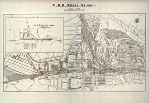
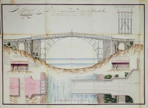
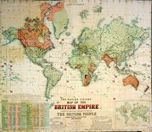
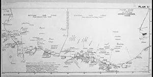
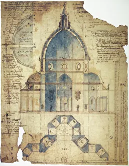
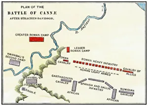
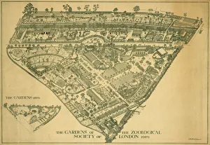
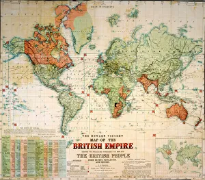
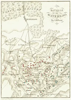
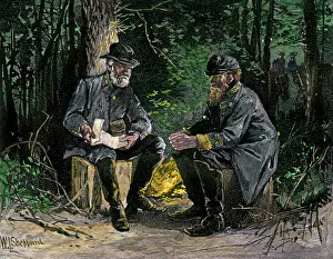
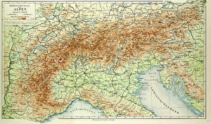
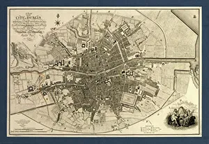
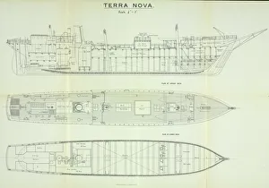
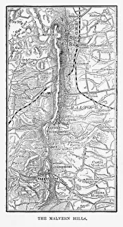
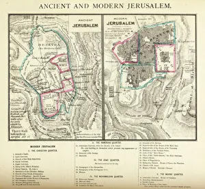
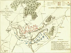
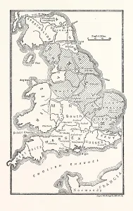
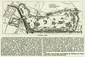
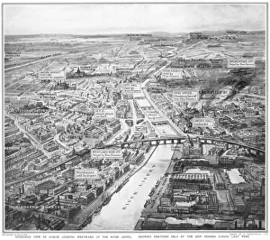
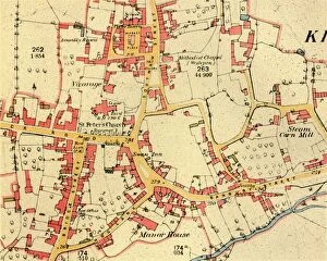
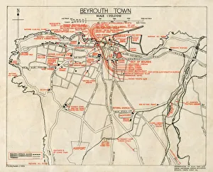
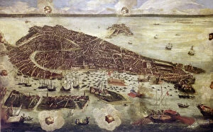
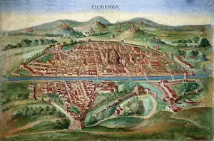
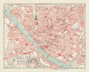
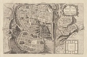
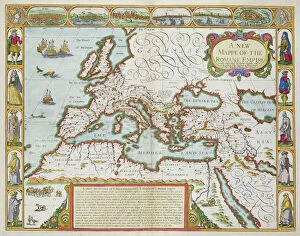
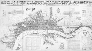
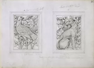
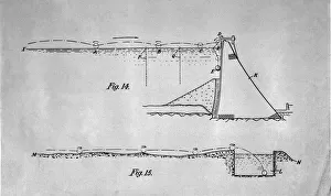
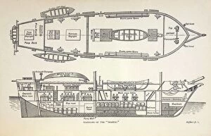
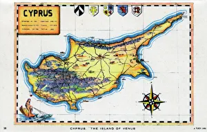
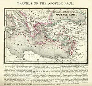
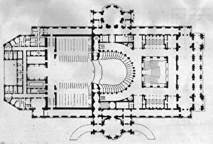
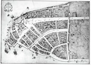
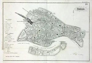
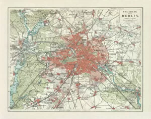
"Unveiling the Blueprint of Success: The Power of a Well-Crafted Plan" In every era, plans have shaped destinies and transformed history. From the meticulously detailed Swindon Works Map in the 1940s to the strategic D-Day Map of 1944, maps have guided armies towards victory and nations towards liberation. The grandeur of empires is etched on maps like the British Empire's expansive territories, reminding us that meticulous planning can forge vast dominions. Even legendary figures like Admiral Nelson relied on precise battle plans to secure triumph at Trafalgar in 1805. Beyond military conquests, plans have given rise to architectural marvels. Filippo Brunelleschi's ingenious design for Santa Maria del Fiore Cathedral in Florence showcased his visionary plan through Lodovico Cardi da Cigoli's contemporary drawing. This cross-section blueprint exemplifies how careful planning can manifest breathtaking beauty. Yet not all plans come to fruition unscathed. The Titanic blueprint serves as a haunting reminder that even with meticulous preparations, unforeseen circumstances may arise. Nevertheless, it underscores the importance of thorough planning and risk assessment. From historic battles such as Waterloo or Chancellorsville during the US Civil War where General Lee and General Jackson strategized their moves before engaging in combat, we witness how well-executed they can turn tides amidst chaos and uncertainty. Even ancient times bear testament to strategic brilliance; Hannibal's Battle of Cannae plan from 216 BC showcases his tactical genius by encircling enemy forces—an enduring lesson in outmaneuvering adversaries. Plans extend beyond warfare; they shape our world at large. Whether it be mapping zoological wonders like London Zoo in 1929 or charting geographical landscapes like an old map detailing the majestic Alps—plans enable exploration and understanding of our surroundings while fostering conservation efforts for future generations. In essence, these diverse examples remind us that behind every triumph, there lies a well-crafted plan.