Fine Art Print > Universal Images Group (UIG) > Illustrations > Illustrations 1
Fine Art Print : Map of Michigan, close-up


![]()
Fine Art Prints from Universal Images Group (UIG)
Map of Michigan, close-up
Universal Images Group (UIG) manages distribution for many leading specialist agencies worldwide
Media ID 9540253
© Dorling Kindersley/UIG
Digitally Generated Direction Guidance Michigan National Border State Text Us State Border Western Script
20"x20" (+3" Border) Fine Art Print
Discover the intricate details of Michigan's geography with this stunning Fine Art Print from Media Storehouse and Dorling Kindersley. This captivating close-up image of the Map of Michigan, brought to you by Universal Images Group (UIG), is a must-have for anyone with a love for the Great Lakes region. With its vibrant colors and crisp details, this print is not only an accurate representation of Michigan's terrain but also a beautiful addition to any home or office space. Bring a piece of the Midwest into your world with this exquisite Fine Art Print.
20x20 image printed on 26x26 Fine Art Rag Paper with 3" (76mm) white border. Our Fine Art Prints are printed on 300gsm 100% acid free, PH neutral paper with archival properties. This printing method is used by museums and art collections to exhibit photographs and art reproductions.
Our fine art prints are high-quality prints made using a paper called Photo Rag. This 100% cotton rag fibre paper is known for its exceptional image sharpness, rich colors, and high level of detail, making it a popular choice for professional photographers and artists. Photo rag paper is our clear recommendation for a fine art paper print. If you can afford to spend more on a higher quality paper, then Photo Rag is our clear recommendation for a fine art paper print.
Estimated Image Size (if not cropped) is 50.8cm x 47.7cm (20" x 18.8")
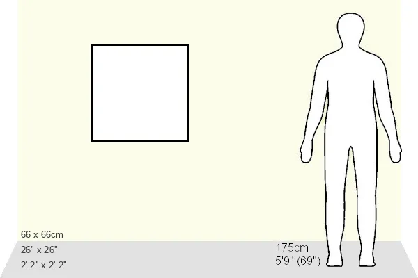
Estimated Product Size is 66cm x 66cm (26" x 26")
These are individually made so all sizes are approximate
Artwork printed orientated as per the preview above, with landscape (horizontal) orientation to match the source image.
EDITORS COMMENTS
This print titled "Map of Michigan, close-up" takes us on a visual journey through the beautiful state of Michigan. The image showcases an intricately detailed map, highlighting the diverse landscapes and geographical features that define this Midwestern gem. With its vibrant colors and precise cartography, this close-up view offers a unique perspective on the state's physical geography. The map provides valuable guidance for both locals and travelers alike, offering a comprehensive overview of Michigan's national borders and neighboring US states. Its horizontal orientation allows for easy navigation and understanding of the region's layout. The Western script used in labeling adds a touch of familiarity to the map, making it accessible to readers from various backgrounds. Digitally generated with utmost precision by Dorling Kindersley, renowned for their expertise in illustration and painting, this print captures every minute detail with stunning clarity. It is evident that great care has been taken to ensure accuracy while maintaining an aesthetically pleasing composition. With no people present in the frame, our focus is solely directed towards appreciating the beauty and complexity of Michigan's landscape as depicted on this map. Whether you are planning your next adventure or simply admiring the wonders of nature from afar, this visually striking piece serves as a reminder of just how vast and diverse our world truly is.
MADE IN THE USA
Safe Shipping with 30 Day Money Back Guarantee
FREE PERSONALISATION*
We are proud to offer a range of customisation features including Personalised Captions, Color Filters and Picture Zoom Tools
SECURE PAYMENTS
We happily accept a wide range of payment options so you can pay for the things you need in the way that is most convenient for you
* Options may vary by product and licensing agreement. Zoomed Pictures can be adjusted in the Cart.